


|
|
|
|
|
|
| Thomas on Islands | profile | all galleries >> == Maui Albums == >> Ke'anae (Road to Hana) | tree view | thumbnails | slideshow |
|
Ke`anae Peninsula, Road to Hana, Mile 17. See also
Aerial images of Keana'e >>
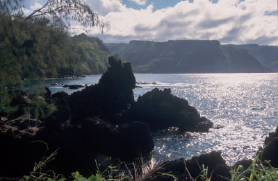
First view at the Ke`anae Peninsula from the Hana Road is past mile marker 12 in the vicinity of the Kaumahina State Wayside. The Peninsula appears from behind two magnificent bays: Honomanau and Nua`ailua. Behind Ke`anae is the Pauwalu Point with a pictoresque Moku Mana Islet. The windy Hana Road enters two valleys before it returns toward the Ocean for another even closer look at Ke`anae. Around mile 16.6 a small road forks from the Hana Highway toward the Ocean. If you have the time, take it! It leads toward the village of Ke`anae located on one of the most recent volcanic additions to Maui. It is romantic and beautiful there, but living on low elevation has its risks: In 1946 big Tsunami Wave wiped out the village. Only the `Ihi`ihi o lehowa o na Kaua Church survived the cataclysm. |
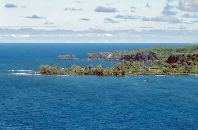 01C-22-First look at Ke`anae Peninsula |
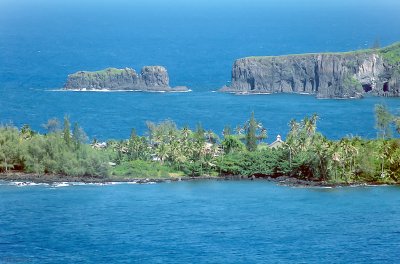 01C-23 Ke`anae and Moku Mana Islet |
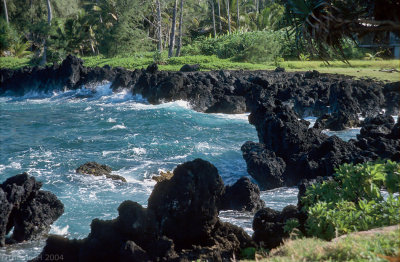
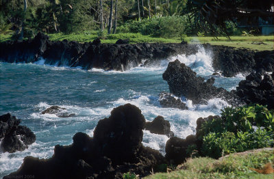
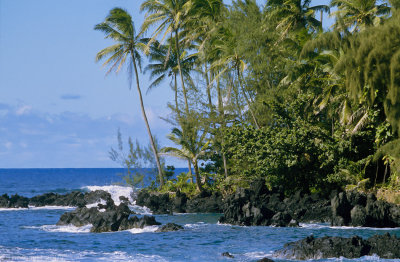 03C-11-Ragged shoreline of Ke`anae |
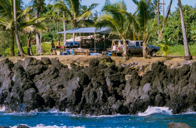 03C-12-Local Life |
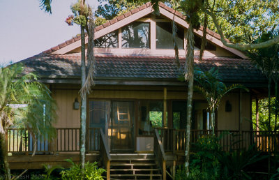 03C-14-One of the homes |
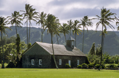 03C-15-`Ihi`ihi o lehowa o na Kaua Church |
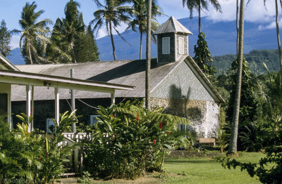 03C-29-`Ihi`ihi o lehowa o na Kaua |
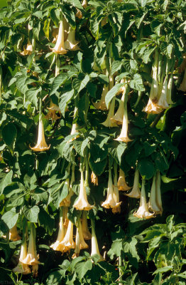 03C-28-Nanahonua ("Angels Trumpet") |
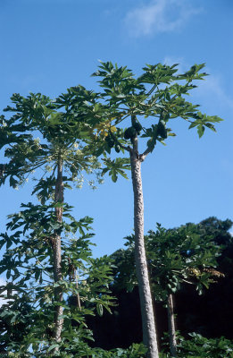 04N-12-Papayas |
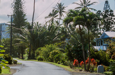 03C-30-Ke`anae Road |
 03C-26-Coconut plant washed ashore |
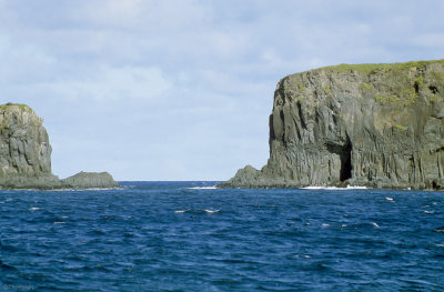 03C-20-Pauwalu Point detail |
 03C-19-Moku Mana |
 04N-15 I can almost hear the waves... |
 04N-17 I can almost hear the waves... |
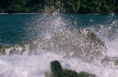 03C-22-Black Lava, White Droplets |
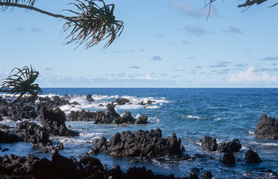 04N-20 Impenetrable shoreline |
 04N-21-Nua`ailua Bay |
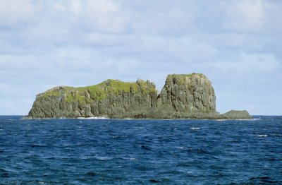
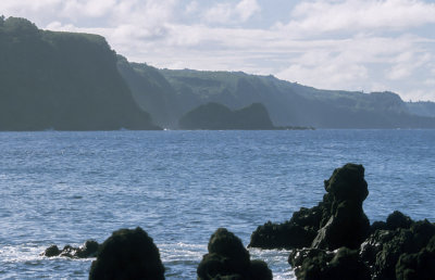 03C-31-Moku Holua Islet, across Nua`ailua Bay |
| comment | share |