


|
|
|
|
|
|
| Don | profile | all galleries >> # landscapes around the world # >> # landscapes of Bali # >> # Bali – Caldera Batur # | tree view | thumbnails | slideshow |
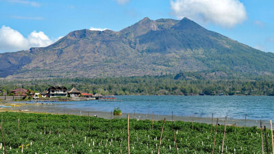
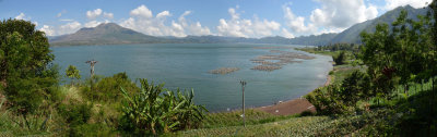
Caldera Batur |
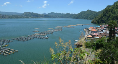
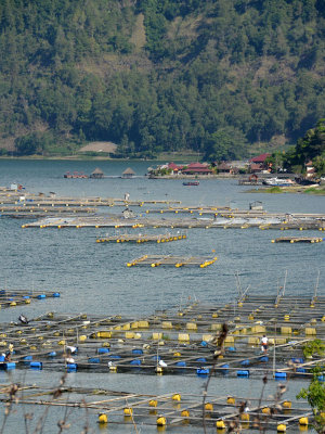 aquaculture |
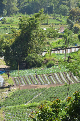 irrigated horticulture |
 living in the shadow |
 Caldera Batur |
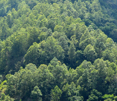 eucalypt forest |
 Trunyan & Danau Batur |
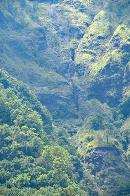 slopes of Gunung Abang |
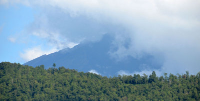 from one volcano to the next |
| comment |
| Paolo Peggi (aka Bracciodiferro) | 29-Dec-2016 23:51 | |