photo sharing and upload picture albums photo forums search pictures popular photos photography help login
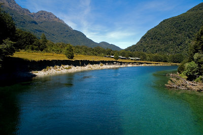
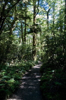
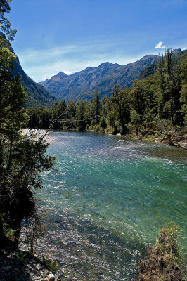
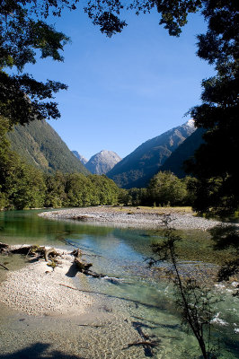
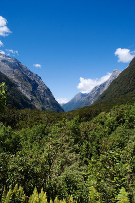
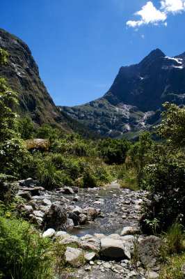
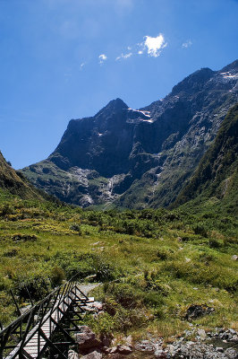
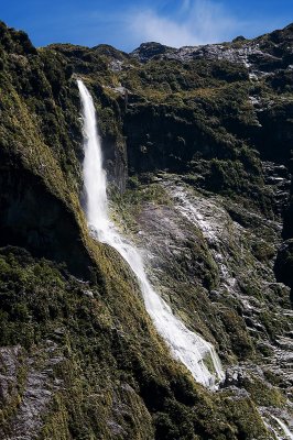
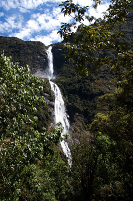
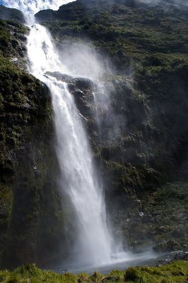
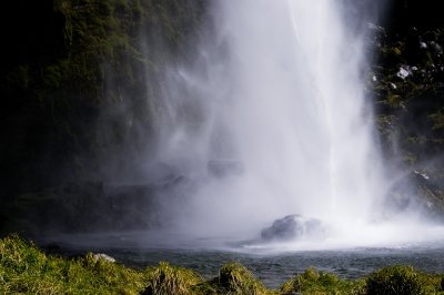
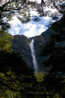
Jasja van Leeuwen | profile | all galleries >> travels >> new zealand 2009 >> milford track tree view | thumbnails | slideshow | map

favourites - sweet kiwi pics | christchurch | te anau | doubtful sound | milford track | milford sound | fox glacier | greymouth | greymouth - auckland | auckland | tokyo and other places | new zealand panoramas 2009 | kiwi circles

milford track

The Milford Track is a four day tramping route through one of the most spectacular parts of Fjordland. Starting at the northern end of Lake Te Anau, it follows the Clinton and Arthur Valleys to end up at Sandfly Point at Milford Sound, 53.5km further. To continue to Arthur Valley after reaching the head of the Clinton Valley, walkers have to climb the MacKinnon Pass, named after the explorer who was one of the first Europeans to reach this remote area late in the 19th century. Tourists were walking the track within several years of MacKinnon's discoveries and the walk quickly gained a reputation as 'the finest walk in the world'.

The unique geological properties of Fjordland give the area a stupendously spectacular look, with valleys carved by glaciers and sheer granite cliffs rising more than 1000m on either side of the path. Water flows quickly, and the abundant rain (Fjordland gets between 7-10m rain each year) can turn gentle alpine rivers in raging torrents in minutes and create hundreds of waterfalls where there were none before. Walkers are advised to bring water-proof everything and that they should count on 2 to 3 days of full rain while on the track. Somehow however, I have defied all odds by continuing my dry streak (I had four days of sunshine on the Routeburn Track and a blue sky over Milford Sound 3 years earlier) with again four days of beautiful blue skies and temperatures up to 30ºC (high 80s in F). On the fourth day clouds started to form slowly, only to give me a dramatic looking (but dry!) finish at Milford Sound.

To give an idea of the truly staggering amounts of rain that can fall here: in only the first 10 days of January 2009, over 1 meter of water came down from the heavens. That is almost twice as much as my home country the Netherlands (where a favourite pastime is complaining about our lousy wet climate) gets in an entire year.

More info can be found on the Department of Conservation website.
te anau downs lake te anau starting point clinton river glade house forest track
clinton river clinton river clinton valley clinton valley clinton valley floodmarkers
clinton valley helicopter forest path waterfall hidden lake hidden lake
hidden lake falls clinton river clinton valley mackinnon pass track waterfall
clinton valley mackinnon pass clinton valley waterfall track mintaro hut
upper clinton valley one kea take-off kea kea view from mackinnon pass kea
kea mountain tarn on mackinnon pass quintin lodge crazy person view from mackinnon pass view from mackinnon pass
sign quintin mackinnon memorial view from mackinnon pass memorial mackinnon pass kea
kea kea view from zig-zag lake mintaro swingbridge on the zig-zag
final zig mackinnon pass mackinnon pass view from mackinnon pass view from mackinnon pass the view from the loo
clinton valley clinton valley clinton valley mackinnon pass shelter the loo with a view track
descent first view of sutherland falls roaring burn waterfall swingbridge sutherland falls (580m) sutherland falls
sutherland falls sutherland falls mackinnon hut replica sutherland falls dumpling hut athur valley
track arthur valley track mackay falls athur river giant gate falls
swingbridge waiting line sandfly point shuttle to milford sound milford sound deepwater basin milford sound
clinton river clinton valley mackinnon pass north view from mackinnon pass 360º view from mackinnon pass giants gate falls and swingbridge