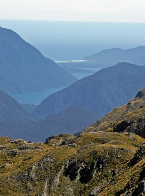
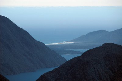
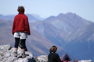
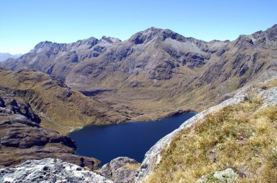
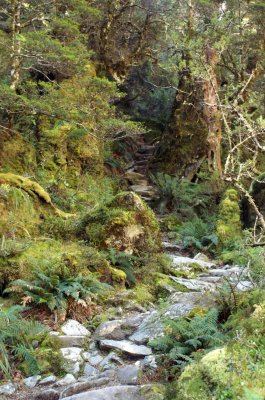
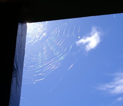
Pictures taken during a four day hike on the Routeburn Track from January 31st to February 3rd of 2006. The Routeburn Track is 32kms long and passes through Mount Aspiring and Fiordland National Parks. Reservations have to be made well in advance to stay in the huts along the track that passes through glacier-carved valleys and offers a wide range of natural beauty. Rugged peaks and alpine wetlands give way to lush New Zealand rainforests in the lower valleys while icy lakes in small hanging side valleys reflect their wild but peacefull surroundings.
Follow this link to download a KML-file for the entire track to see it in Google Earth. The entire track is visible in very high resolution with 18 placemarks and a map overlay.