


|
|
|
|
|
|
| Philip Game | profile | all galleries >> Tasmania, my native island (11 galleries) >> Way down south, Tasmania | tree view | thumbnails | slideshow |
Tasmania's far south, from Hobart down through the Channel Country and the Huon Valley to the end of the road at Cockle Creek, on Recherche Bay.
Most images captured with Nikon D300 in RAW format. Earlier images scanned from 35mm transparencies shot in 1997.

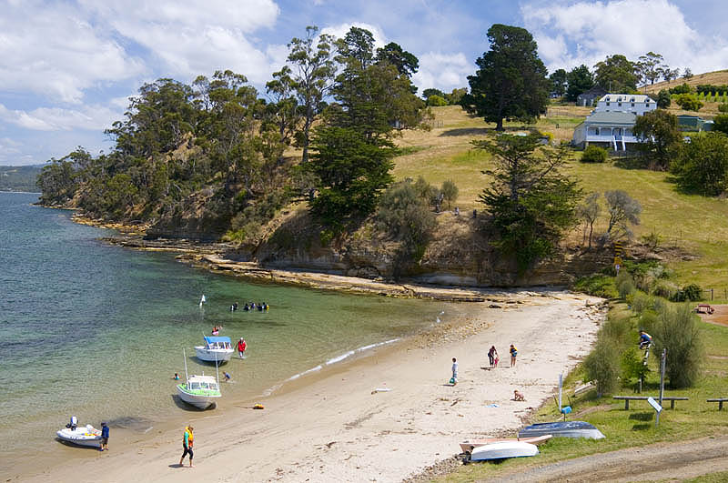 Sheltered cove and winery at Tinderbox |
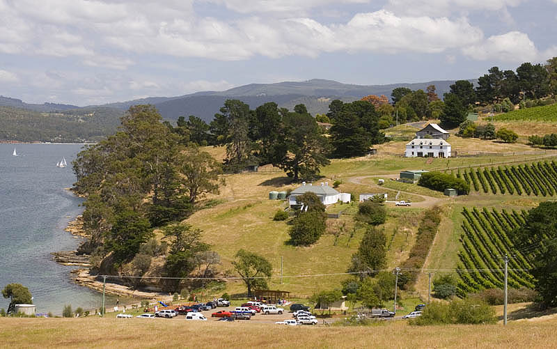 Tinderbox |
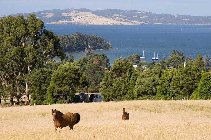 Above Peppermint Bay |
Tasmanian honey for sale |
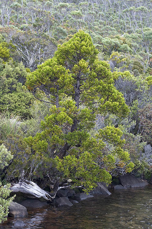 King Billy Pine, Hartz Mountains |
 Apple & Pear |
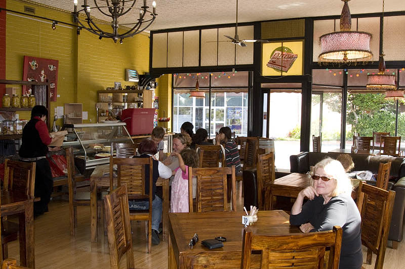 Red Velvet Cafe, Cygnet |
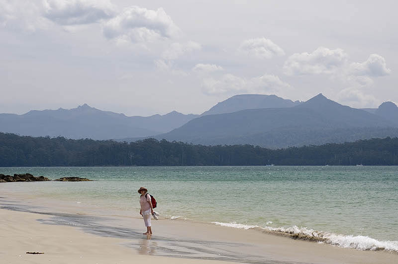 Recherche Bay - the Fishers Point walk |
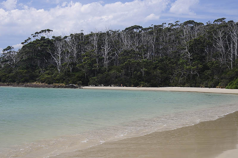 Recherche Bay |
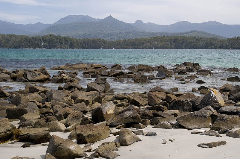 Recherche Bay |
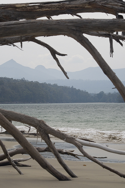 Recherche Bay |
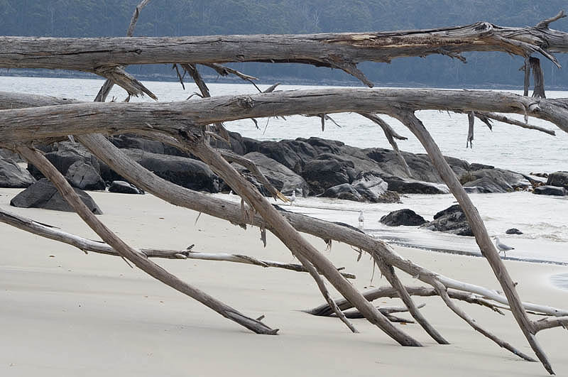 Recherche Bay |
 Storm brewing over Recherche Bay |
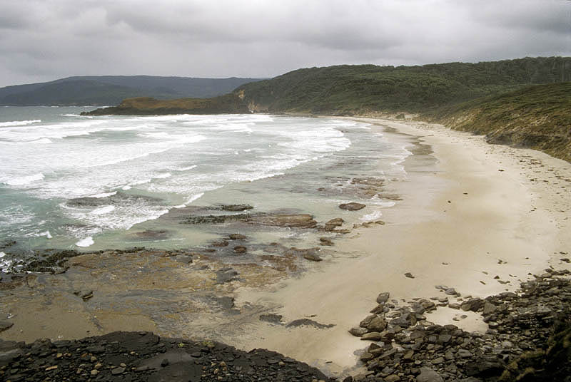 South Cape Bay |
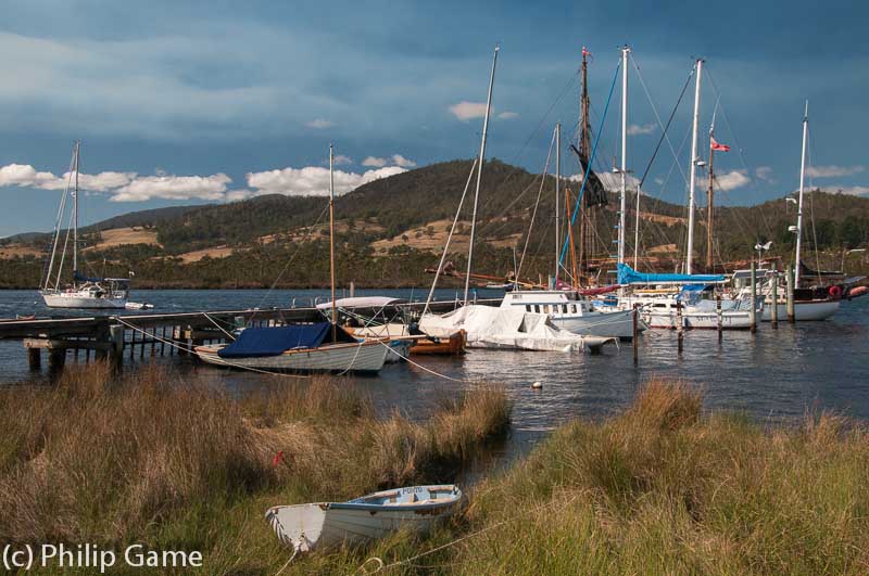 Huon River at Franklin in the Channel country, southern Tasmania |
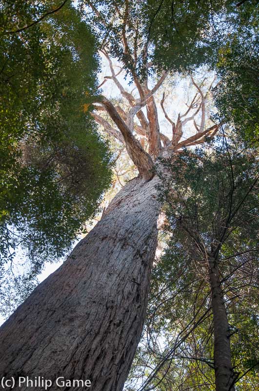 Tall timber in the Tahune Forest Reserve, southern Tasmania |
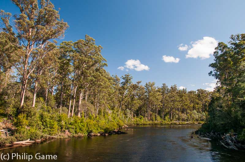 Huon River in the Tahune Forest Reserve, southern Tasmania |
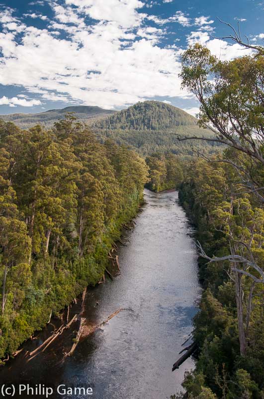 The Huon River nearing its junction with the Picton River, southern Tasmania |