


|
|
|
|
|
|
| Tom Kenney | profile | all galleries >> Sierra Nevada >> The High Passes | tree view | thumbnails | slideshow |
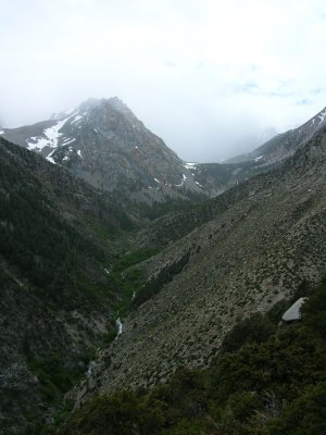
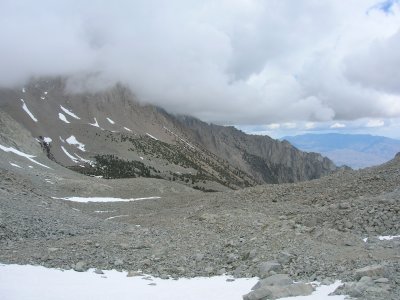
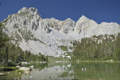
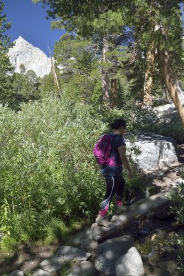
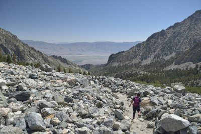
The central portion of the High Sierra has also been called The High Passes region. To cross the crest of the range in this region requires a climb from the desert floor to 11,000'-12,000' gaps in the range.
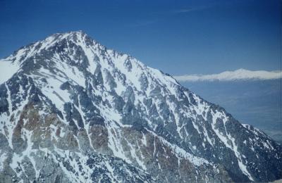 Mount Tinnemaha |
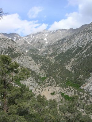
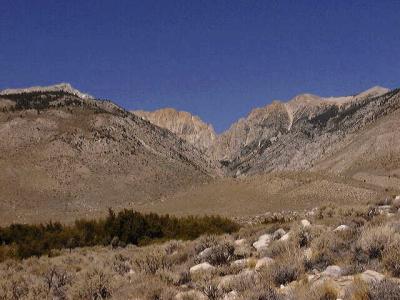 Taboose Creek Trailhead |
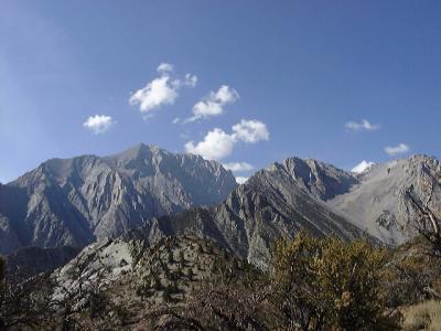 Mount Williamson |
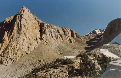
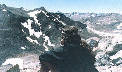 Gary on Goodale Mountain, Taboose Pass |
 Anvil Camp |
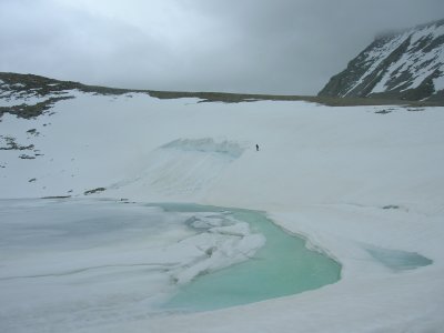
 The Pothole |
 Shepherd Pass |
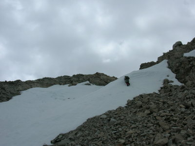
 Serious Spring Snow! |
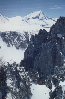
 Mount Bradley |
 arrow.jpg |
 ogre3.jpg |
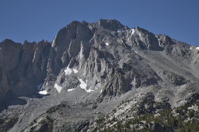 University Peak |
 DSC0697_MOD.JPG |
 DSC0702_MOD.JPG |
 DSC0705_MOD.JPG |
 DSC0708_MOD.JPG |
 DSC0710_MOD.JPG |
 DSC0685_MOD.JPG |