photo sharing and upload picture albums photo forums search pictures popular photos photography help login
Type your message and click Add Comment
It is best to login or register first but you may post as a guest.
Enter an optional name and contact email address. Name
Name Email
help private comment
tj Hoffman | profile | all galleries >> travel_adventures >> belize_archaeology >> Nohmul, Orangewalk, Belize, Central America >> camp_nohmul >> life_in_the_excavation_pits >> VISITING ARCHAEOLOGICAL SITES in SOUTHERN BELIZE >> xunantunich_tour tree view | thumbnails | slideshow
Located about 8 miles past San Ignacio on the Western Highway and almost to the
Guatemalan border is the site of Xunantunich on the Mopan River.

Board the small hand-cranked ferry to cross the Mopan onto Xunantunich soil. It's only a short hike or ride up to the site

A grand view of the entire Cayo District & Guatemala countryside beyond await the climber of El Castillo, the main pyramid...
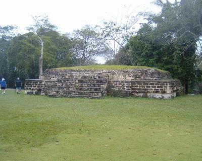
Xunantunich- A recently excavated building on the eastern side of Plaza A-2.
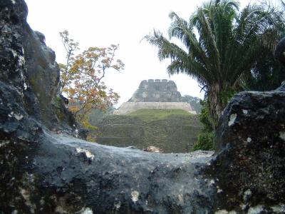
Xunantunich Buildings A-1 and A-6-el Castillo from A-13 window opening.
Click original for full panoramic effect
Click "original" for full panoramic effect
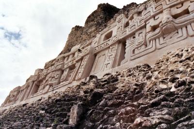
Xunantunich-ElCastillo-EastFace, after glyph reconstruction
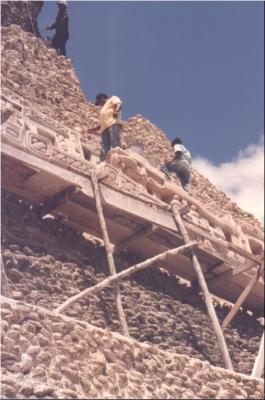
Xunantunich Reconstruction. ca 2003
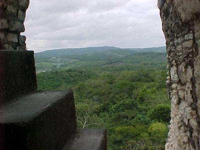
Xunatunich-from hidden stairs-Guatemala is 1 mile off in distance
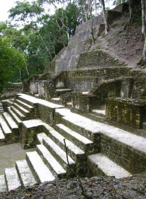
Steps at Xunantunich, Belize