


|
|
|
|
|
|
| Dave Beedon | profile | all galleries >> Places >> Utah >> Moab (environs) >> Shafer Trail >> Shafer Trail: First Visit >> The Goose Neck | tree view | thumbnails | slideshow |
 Panorama shot #1, east |
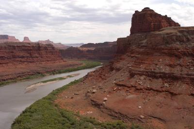 Panorama shot #2, southeast |
 Panorama shot #3, south |
 Panorama shot #4, southwest |
 Panorama shot #5, west |
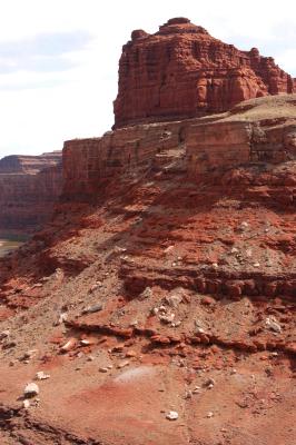 Goose Neck's northeast slope |
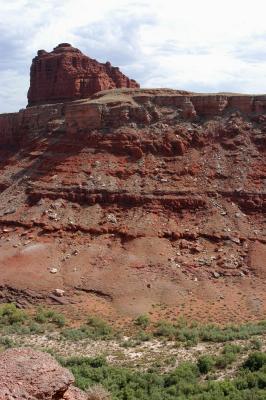 Gooseneck's north slope |
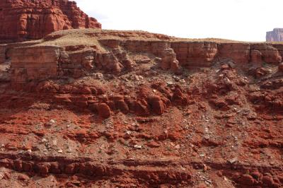 Close-up of north slope |
 Shadows |
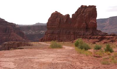
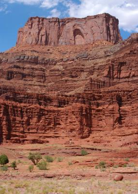 Dead Horse Point State Park on top of the mesa |
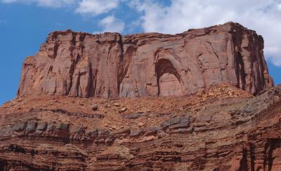 Dead Horse Point State Park, up close and personal |
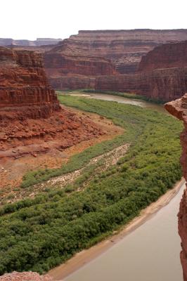
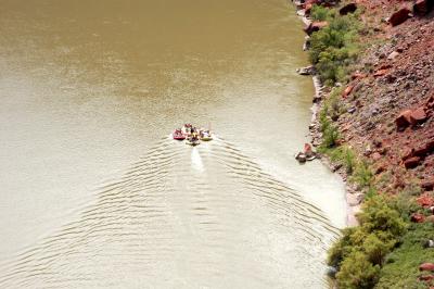 Inflatable rafts headed downstream with the current |
 Rafts of previous photo in context |
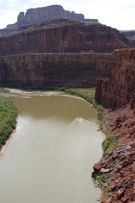
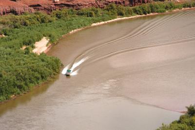
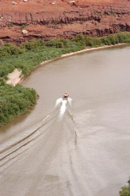
 Jetboat going downstream to pick up canoeists near the confluence with the Green River |
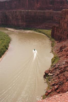
 Jetboat again |
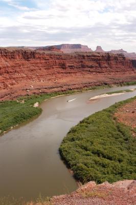
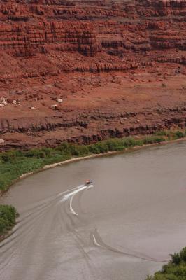
 Staying in the deep channel (to the right are sandbars and shallow water) |
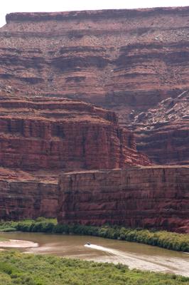
 Jetboat has passed the northern tip of the Goose Neck |
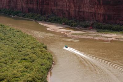 Passing a tributary stream |
 Insignificant boat |
 Transport of canoes |
 Boat's wake gets disturbed by shallow water |
| comment | share |
| Guest | 21-Nov-2005 10:31 | |