


|
|
|
|
|
|
| Dave Beedon | profile | all galleries >> Railroads >> Railroads: Cane Creek Branch >> Seven Mile | tree view | thumbnails | slideshow | map |
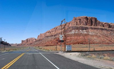
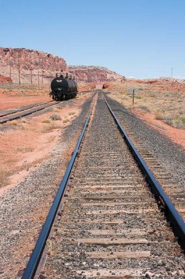
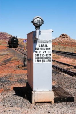
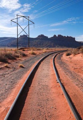
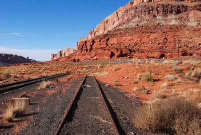
Seven Mile is a railroad site about ten miles northwest of Moab, Utah and consists of a siding, two or three spur tracks, and a grade crossing (SR 313, the road leading to Dead Horse Point State Park). It is part of Union Pacific Railroad's Cane Creek Branch.
|
 Problematic grade crossing (1 of 5) |
 Problematic grade crossing (2 of 5) |
 Problematic grade crossing (3 of 5) |
 Problematic grade crossing (4 of 5) |
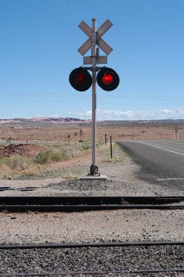 Problematic crossing (5 of 5) |
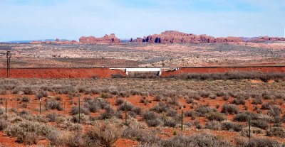 Potash rail line and Arches National Park |
 Detail of spur tracks |
 Track clips at Seven Mile |
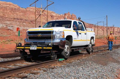 Track inspector |
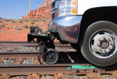 Equipment and photographer |
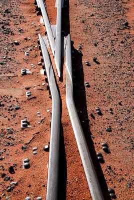
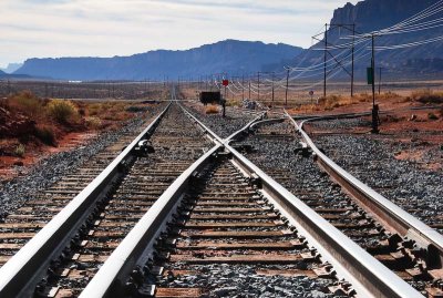 Divergence |
 Orange |
 Two spurs and a transloading facility |
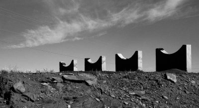 Cradles (black and white) |
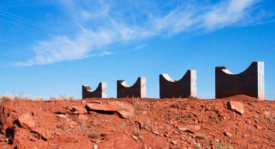 Cradles (color) |
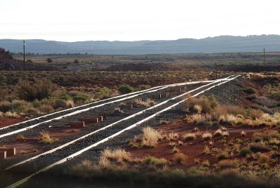 Spurs in morning |
| comment | share |
| exzim | 18-Sep-2013 21:32 | |