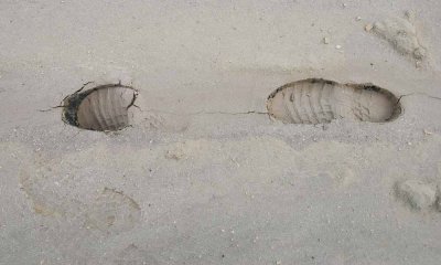
During a walk on the mud flat on the northeast side of Floating Island I encountered varying degrees of firmness in the mud. The wetter the mud, the more I would sink in. My boots were encrusted with mud---they looked weird. My walking route was a triangle, with the longest leg next to the barbed wire fence marking the western boundary of the UTTR (Utah Test and Training Range). The fence is about ten feet (3 m) above the footprints.
One might ask "Why bother walking on mud?" There is only one answer: "Because it is there (and not many people would consider doing it.)" I am almost certain that my route intersected that taken by the Donner-Reed party of 1846, as those unfortunate people passed along the northern side of Floating Island. Taking wagons and livestock through this medium had to be a nightmare.
|