


|
|
|
|
|
|
| Paul Dudley | profile | all galleries >> Hawkesbury Albums >> Nepean River at Yarramundi (15 pictures) | tree view | thumbnails | slideshow | map |
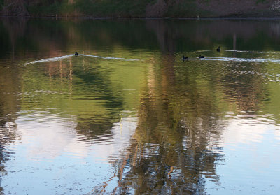 Ducks retreating |
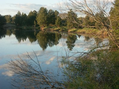 Late afternoon |
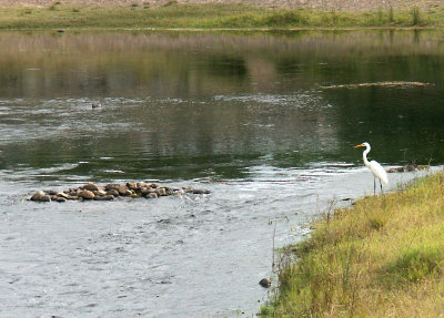
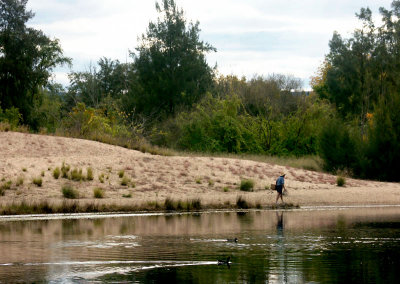 Gone Fishing |
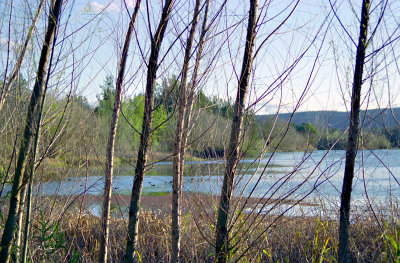 Nepean River at Agnes Banks |
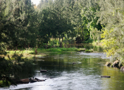
 Yarramundi fishing spot |
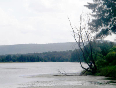
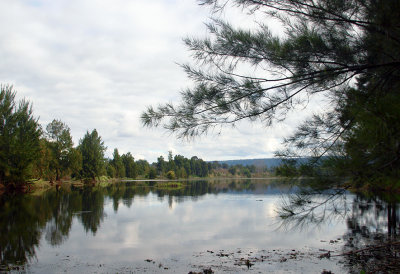
 Nepean River at Yarramundi |
 Beside the Yarramundi Bridge |
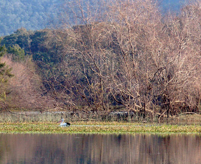 Yarramundi pelican |
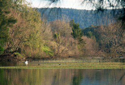 Nepean River, and pelican |
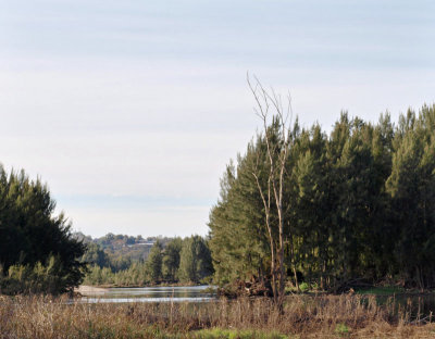 Below Yarramundi Bridge |
 Downstream from the Yarramundi Bridge |
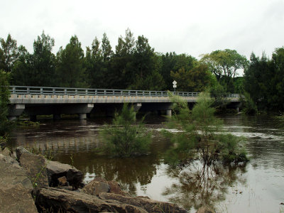 "The river's come up a bit" |
 "The river is really up" |
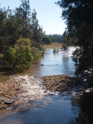
 A gentle flood |
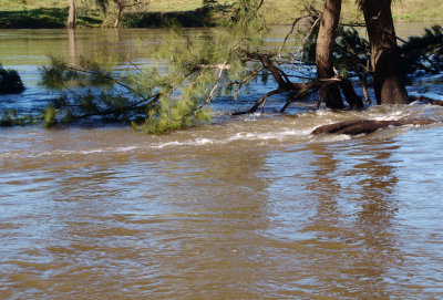
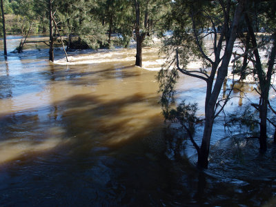
 Casuarinas holding back a river – 1 |
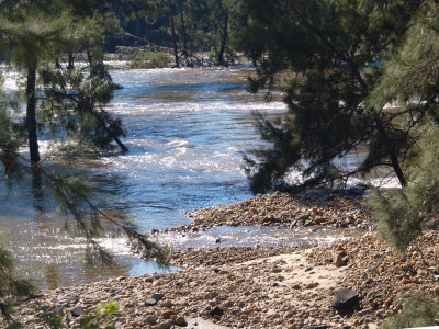
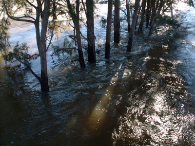
 Casuarinas holding back a river – 2 |
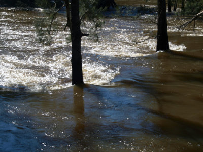
 Casuarinas holding back a river – 3 |
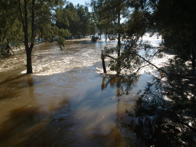
 Casuarinas holding back a river – 4 |
 Downstream from Yarramundi Bridge |
 Nepean at Shaw's Island |
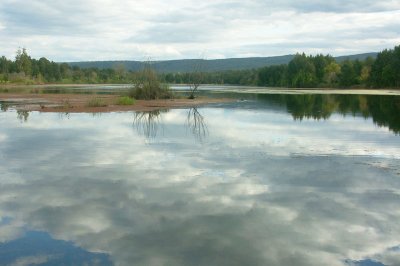
 Nepean at Yarramundi |
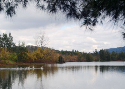
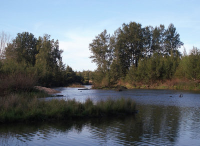
 Yarramundi Lagoon |
 At the Grose River confluence |
| comment | share |
| Barry S Moore | 25-Jan-2010 22:15 | |