


|
|
|
|
|
|
| Jim Thode | profile | all galleries >> Galleries >> Sanctuary Arch Hike | tree view | thumbnails | slideshow |
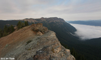
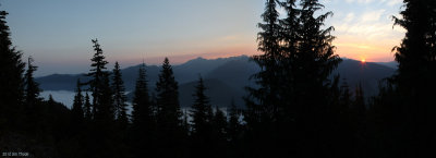 Sunrise from the Klickitat Tail |
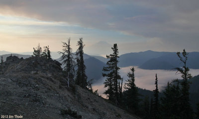
 Sunrise/Goat Rocks |
 Mt Rainer |
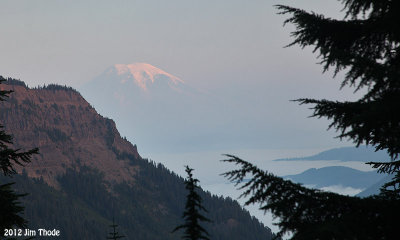
 Mt Adams |
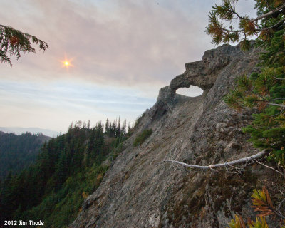
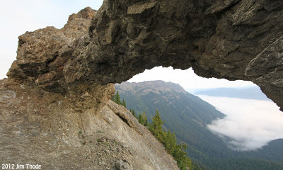
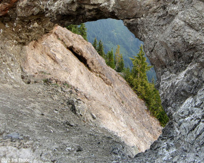
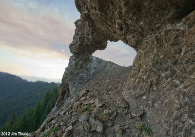
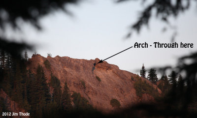
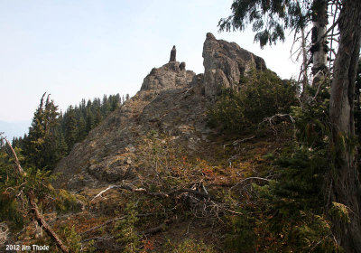
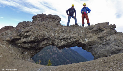
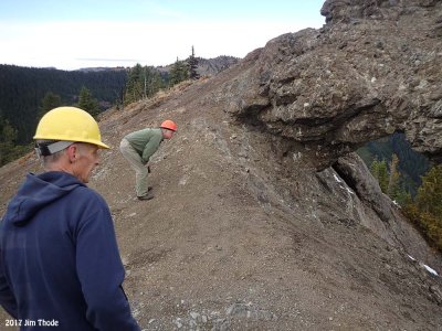
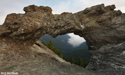 Sanctuary Arch |
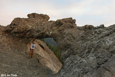
 Sanctuary Arch |
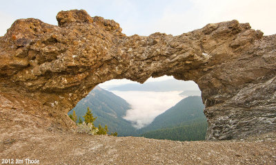
 Sanctuary Arch |
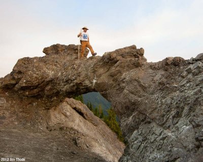
 Sanctuary Arch |
 Sanctuary Arch |
 Sanctuary Arch |
 Sanctuary Arch |
 Sanctuary Arch |
 Sanctuary Arch |
 Arch From #7 Trail |
 Arch From #7 Trail |
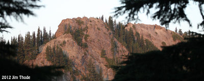
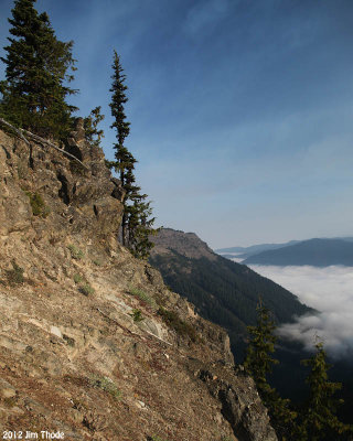
 Looking west |
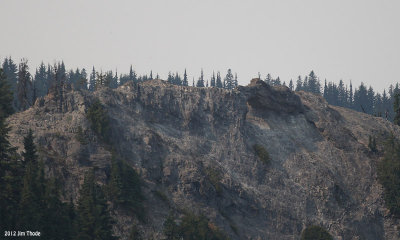 Looking from the east |
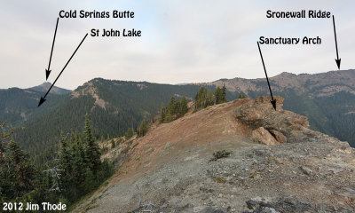
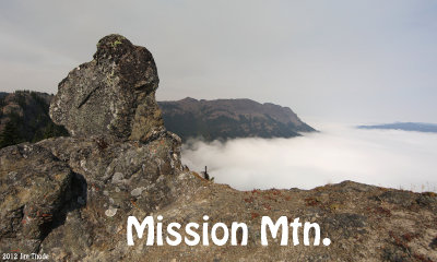
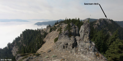 From Mission Mtn Ridge |
 From St John Lake |
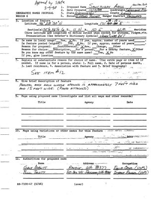 Arch Naming Details - Front |
 Arch Naming Details - Back |
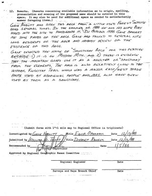
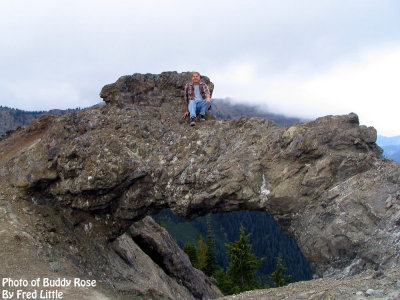 More History by Buddy Rose |
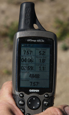
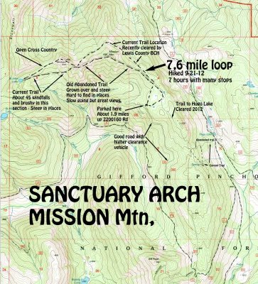 Area map and hike route |
 Ridge down to St John Lake from the Arch |
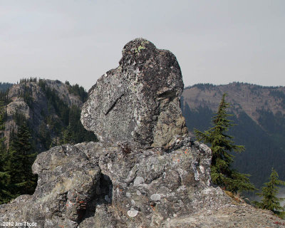
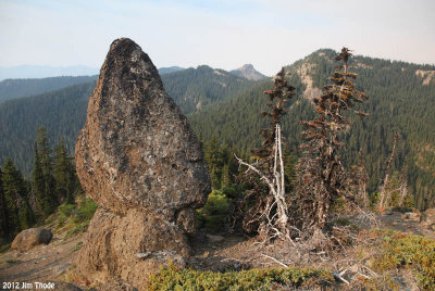 The "Morel Mushroom" Rock |
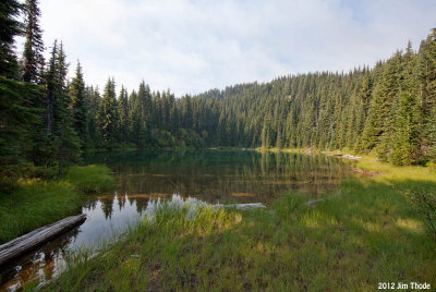 St John Lake |
:: Klickitat Trail #7 from St John Lake to the Mission Mtn Ridge :: |
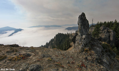
 "The Watcher" with the arch in the background |
 The "Watcher" |
 "The Watcher" - A natural Stone Sculpture |
 "The Watcher" - Looks like a tombstone from the west |
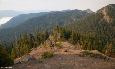
:: Mission Mountain Ridge :: |
 The end |
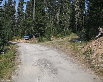
:: 2200160 Road :: |
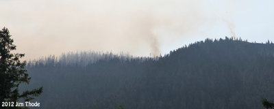 South Point Fire from the 21 Road |
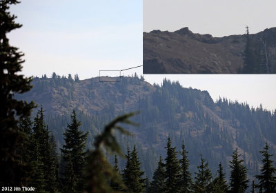
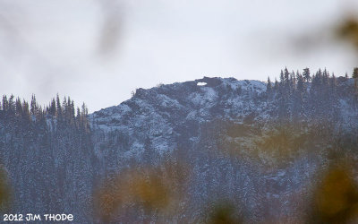 Sanctuary Arch from the 2140 Rd |
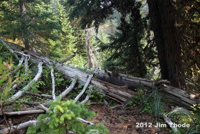
 2017 Trail Clearing |
 2017 Trail Clearing |
| comment | share |
| Guest | 25-Sep-2014 20:37 | |
| Jin Wu | 23-Sep-2012 03:42 | |