


|
|
|
|
|
|
| |
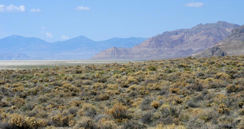
| 3 Jul 2004 | Dave Beedon |
Looking about southwest, toward Wendover. The horizontal lines in the mountains on the right
are shorelines of Lake Bonneville. The low pinkish mountain in the center is Peak 4944, a
minor sub-peak of Tetzlaff Peak. An easy hike leads to the summit of Peak 4944, from which
there is a nice view of the salt flats. Topographic map: USGS Tetzlaff Peak (1:24,000).
.
All images are copyright 1966 - 2023 by Dave Beedon (davebeedon AT comcast DOT net).