


|
|
|
|
|
|
| Don | profile | all galleries >> #more of north Queensland# >> # road trip north # >> # Cooktown # | tree view | thumbnails | slideshow |
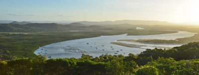
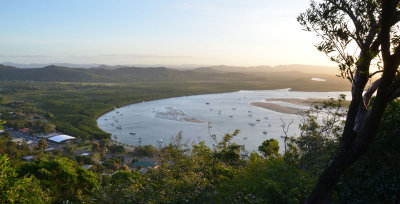 Cooktown & Endeavour River estuary |
Mt Cook |
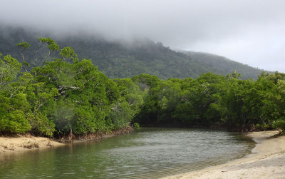 Alligator Creek |
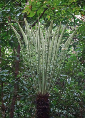 a cycad (Cycas media subsp. banksii) |
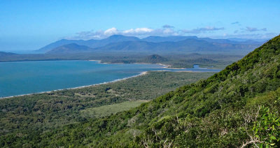 view from Mt Cook |
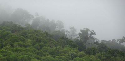 rainforest mist |
 Finch Bay |
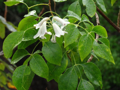 Wonga Wonga Vine (Pandorea pandorana) |
Cooktown |
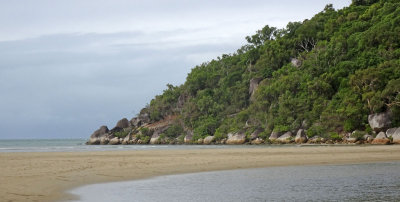
 Finch Bay |
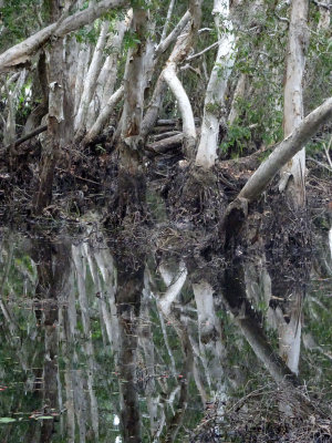 inside the swamp forest |
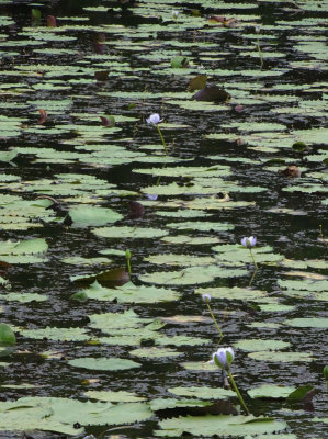 water lilies |
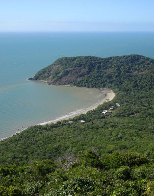 view from Mt Cook |
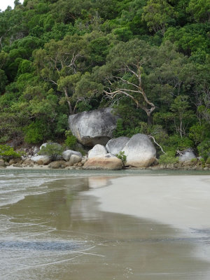
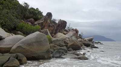 coast |
 Endeavour River estuary |
| comment |
| Zoltán Balogh | 03-Sep-2017 07:54 | |
| Paolo Peggi (aka Bracciodiferro) | 11-Aug-2017 21:31 | |