


|
|
|
|
|
|
| dick wood | profile | all galleries >> Galleries >> 2011 October UT Capital Reef NP | tree view | thumbnails | slideshow |
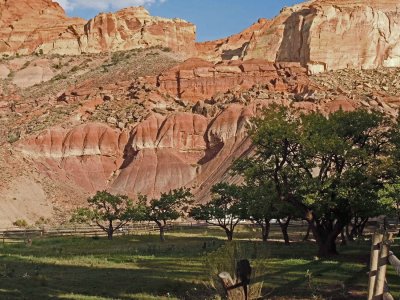
gallery: Campground |
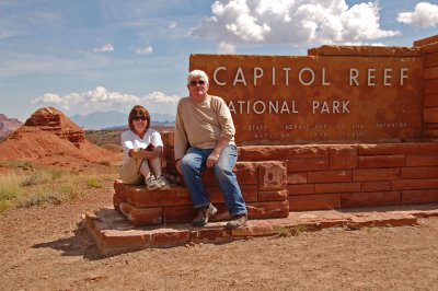
gallery: Scenic Drive, Sunsets, Petroglyphs |
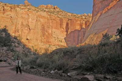
gallery: Capital Gorge |
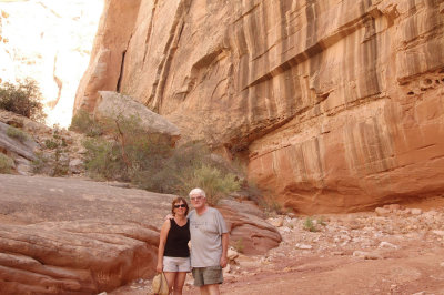
gallery: Grand Wash |
| comment | share |