photo sharing and upload picture albums photo forums search pictures popular photos photography help login
Cathryn | profile | all galleries >> Gippsland >> Grand Ridge Road tree view | thumbnails | slideshow

Yarram | Alberton | Tarraville | Greenmount Cemetery | Grand Ridge Road | Yarram-Blackwarry Road | Easter 2013 | Christmas 2013 | Easter 2014 | Cattan Beach | South Gippsland Railway

Grand Ridge Road

The Grand Ridge Road runs from the Warragul-Korumburra Road (C425) west of Seaview, Victoria, to the Hyland Highway (C482) near Carrajung, south of Traralgon. Driving the whole, 140km length in one day is challenging and tiring but worth the effort. The road varies from sealed country roads through rolling farmland to narrow bush tracks littered with sticks and bark. Driving requires great caution because there are countless blind corners, which could conceal another car hurtling towards you, and Gippsland's high rainfall means that the verges of the road are usually muddy, so your car is likely to bog if you pull over carelessly.
The only town is Mirboo North, a good place to stop for lunch. At the hamlet of Balook, there is a cafe, the Lyrebird, where you could get lunch or snacks.
For maps and further details, see the blog "By Peugeot Along Gippsland's Grand Ridge Road" < http://206gti.net/grr >
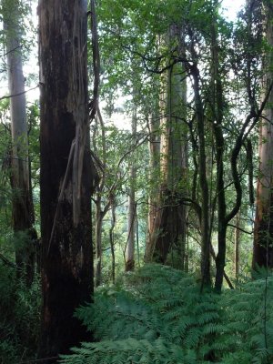
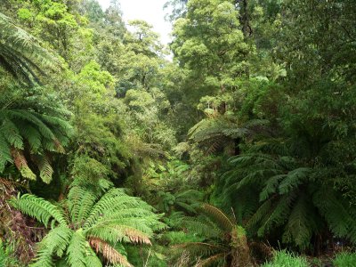
Deep valley at western end of GRR
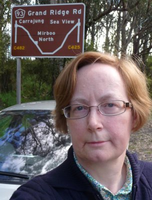
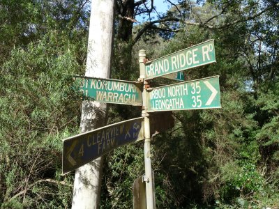
Sign near Mount Worth State Park
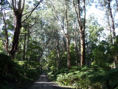
GRR south of Mirboo North
Grand Ridge Road
Grand Ridge Road
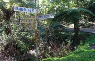
Sign at Ryton Junction
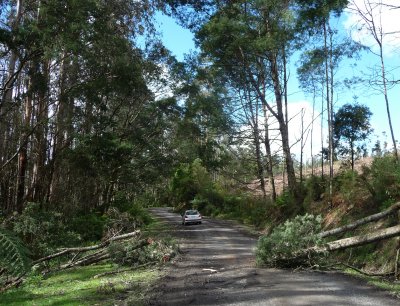
A narrow gap -- I squeaked through
View from GRR near Carrajung
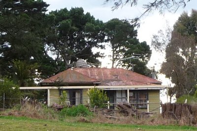
House near Carrajung
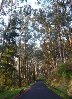
Late afternoon sun illuminates bush
Journey's end
Journey's end