


|
|
|
|
|
|
| Al (Alfred) Toth | profile | all galleries >> Peru 2010 >> Lost City of the Inca's | tree view | thumbnails | slideshow |
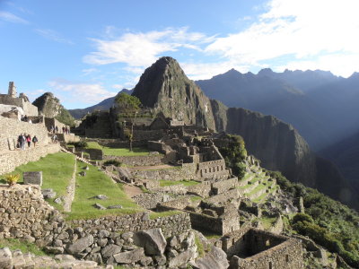 Known by the Incas as Patallacta, (High City) |
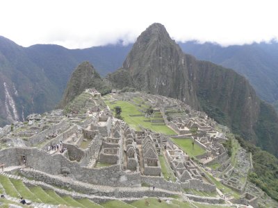 It is now called Machu Picchu (Old Mountain) |
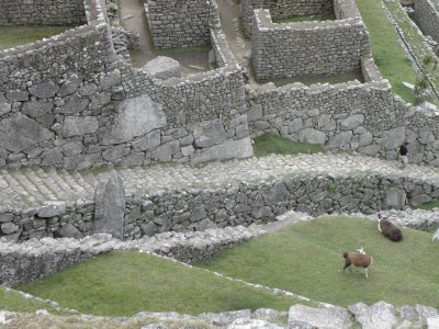
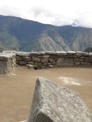
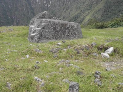 Sacred Rock near the Guardhouse |
 The Kallanka, or Great Hall |
 Paolo Greer with the INC |
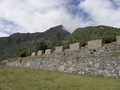
 The Perimeter Wall and the Dry Moat |
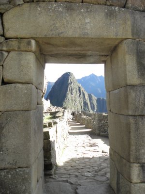 Main City Gate (Front Door) framing Wayna Picchu |
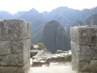 Back Door framing Putucusi |
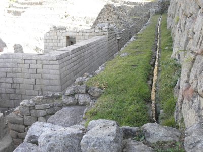 Water Canal arriving at the 1st Fountain |
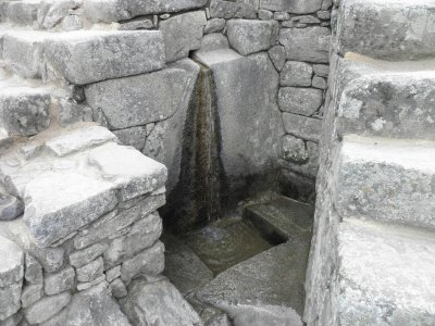 The first of 16 fountains |
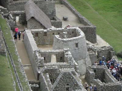 The Sun Temple or Torreon from above |
 The Torreon built on solid rock |
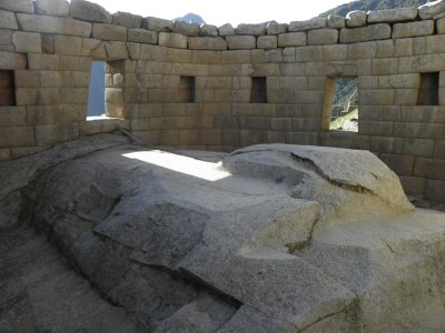 Inside of the Torreon |
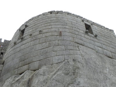
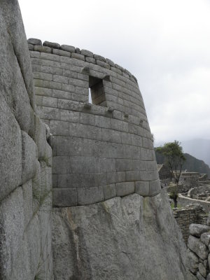 SE face of the Torreon |
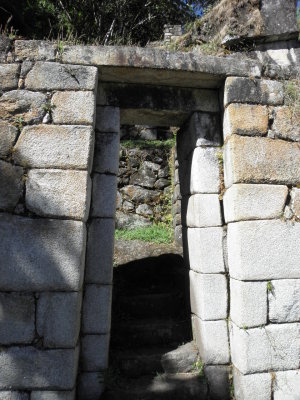
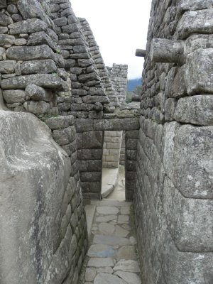 Entry to the Royal Residence |
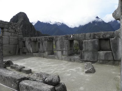 The Three Windows Temple |
 The best wall in Machu Picchu |
 Rock near the Principal Temple |
 The Echo Room |
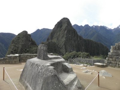 The Intiwatana |
 Ceremonial Rock |
 Petroglyph at the Unfinished Temple |
 Espejos de Auga |
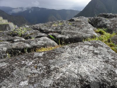
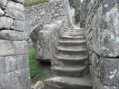 "In situ" steps, steps carved in the natural rock |
 Window looking into the cave at the Intimachay |
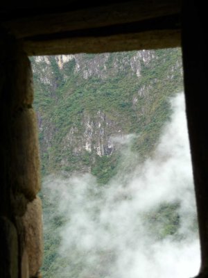 Looking out the window at the Intimachay |
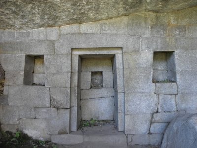
 A double jamb door at Temple of the Moon |
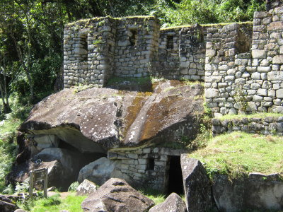
 Templo de la Luna |
 Temple of the Moon |
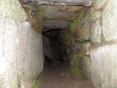
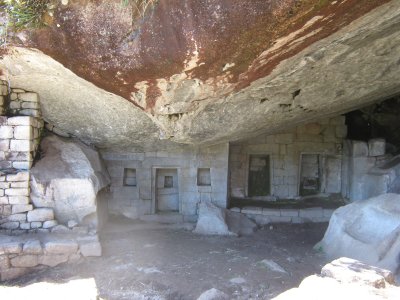
 The Grand Cave |
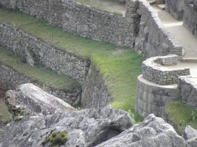
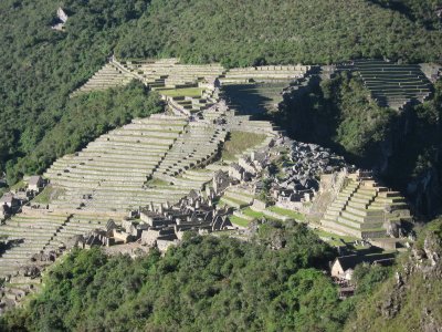 Agricultural Terraces |
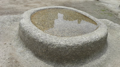
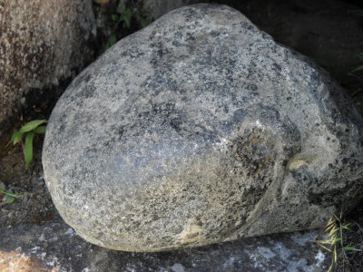 A Hammerstone |
| comment | share |
| trento redento | 24-Oct-2014 16:06 | |