


|
|
|
|
|
|
| Waqas Usman | profile | all galleries >> Pakistan Photos >> Nanga Parbat, Gilgit-Baltistan (Formerly Northern Areas), Pakistan - 2005 Trip | tree view | thumbnails | slideshow |
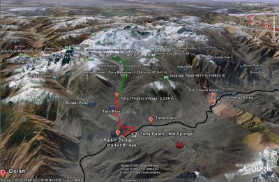 Nanga Parbat Tilted Map- Marked Trails.JPG |
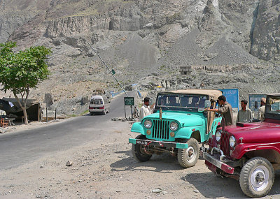 Raikot Bridge - Leaving Karakoram Highway (KKH) now - 181-11.jpg |
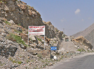 The Road to Fairy Meadows the longest 15km on earth :) - 182.jpg |
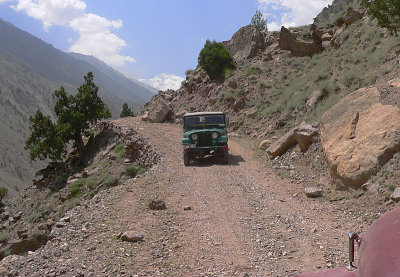
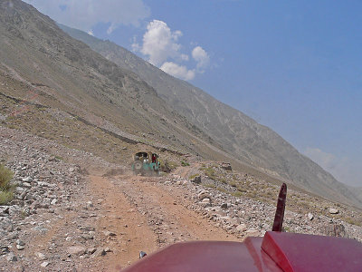 The road winds, steep ascent ahead - 187.jpg |
 Gained quite a lot of height - 190.jpg |
 The Bridge is too far down now!! - 193.jpg |
 Must grip it tightly!! - 197.jpg |
 That is quite a fall! - 199.jpg |
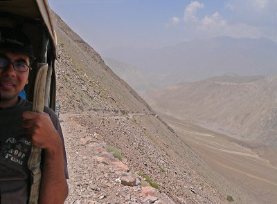
 KKH and the Indus far down (left) - 201.jpg |
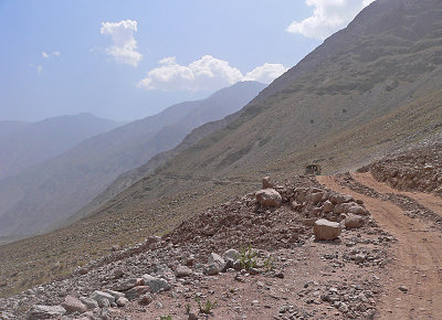
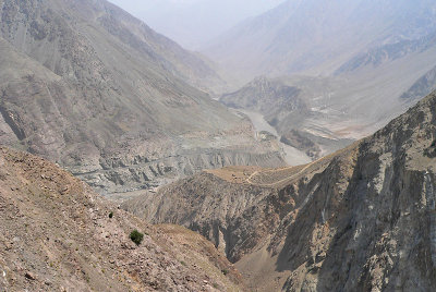 Gained a lot of height in less than 20 minutes!! That's KKH down there!! - 204.jpg |
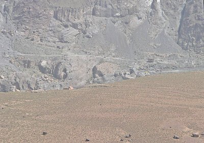
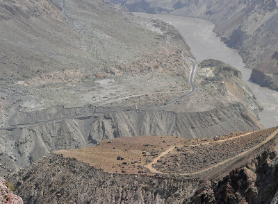 KKH - Zoomed in - 210 .jpg |
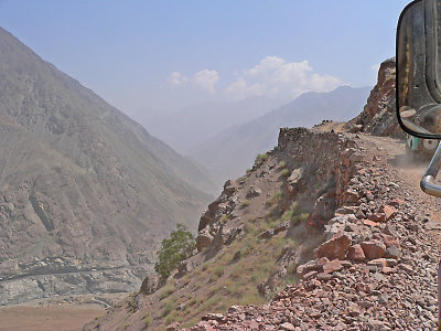
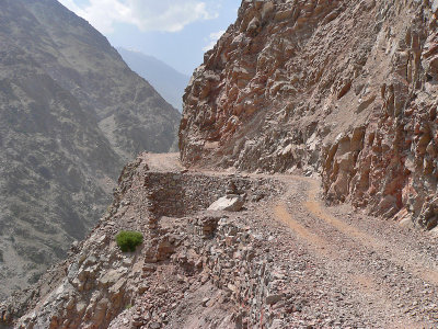 Not the safest of bends :) - 218.jpg |
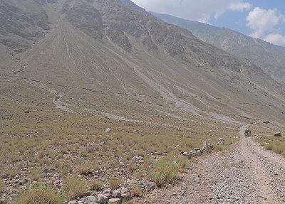 It's all dry and barren - 183.jpg |
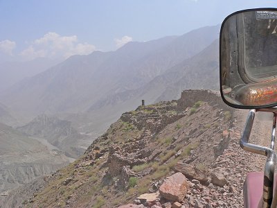 KKH - 202.jpg |
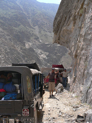 Jeep Breakdown forced all three jeeps to stop coz there wasn't enough clearance to pass - 224.jpg |
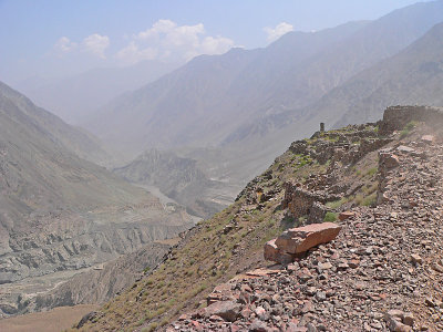
 Looking back towards Karakoram - 225-2j.jpg |
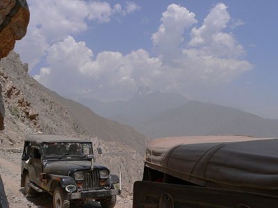
 We stopped for the other Jeep to pass - 232.jpg |
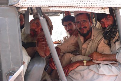 Local guides and porters coming back from Nanga Parbat - 234.jpg |
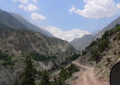 First view of Nanga Parbat - 246.jpg |
 This is where we started the trek, near Tato Village - 252.jpg |
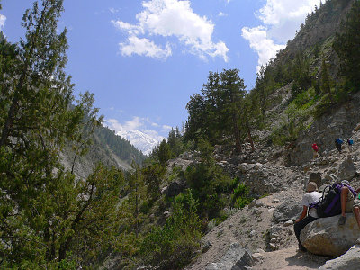
 Looking back at the track - 260.jpg |
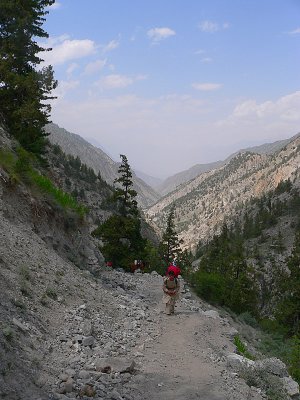
 It's a long way to go - 264.jpg |
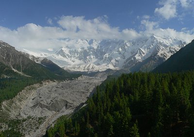
 Raikot Glacier and Nanga Parbat in the background - 305.jpg |
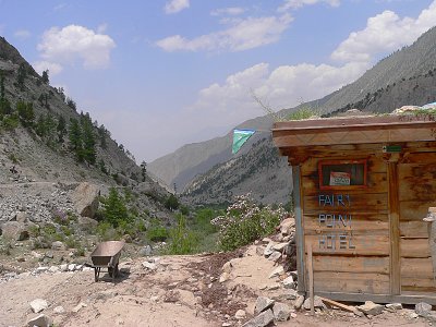
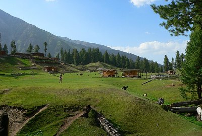
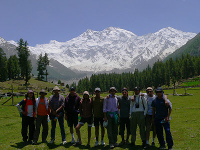 At Fairy Meadows, Nanga Parbat - 321.jpg |
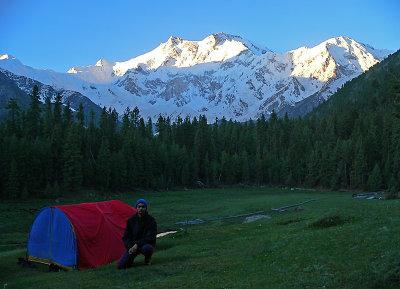
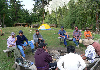 Our Camp Site - 325.jpg |
 View from the Camp Site - 349.jpg |
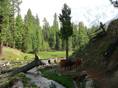 Cows along a stream - 363.jpg |
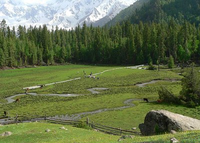
 Fairy Meadows - 383.jpg |
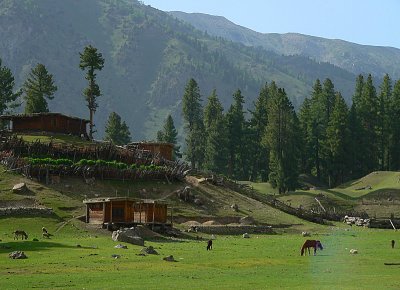 Fairy Meadows - 384.jpg |
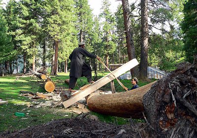 Cutting wood for huts - 386.jpg |
 Nanga Parbat Covered in Mountains - 389.jpg |
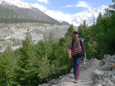
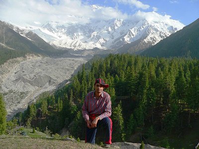 P1060427-2j Me.jpg |
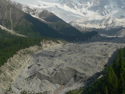 Raikot Glacier - 432.jpg |
 Nanga Parbat bathing in sunlight- 489.jpg |
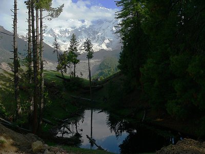 A pond at Fairy Meadows - 444.jpg |
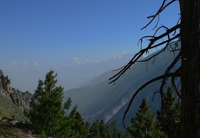 Looking North at Karakoram (Rakaposhi?) - 499.jpg |
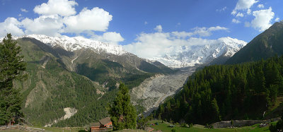 Panorama of Nanga Parbat, Raikot Glacier and Fairy Meadows Camp Site - 433.JPG |
Nanga Parbat - Crossing the Glacier - Panorama 16.jpg |
| comment | share |
| wessongroup | 18-Jul-2011 16:23 | |
| Tom Tang | 10-Apr-2011 06:10 | |
| Dilawar Butt | 27-Jan-2011 09:48 | |
| nasir jabbar | 16-Oct-2010 15:55 | |
| Guest | 26-Jun-2010 11:47 | |
| Azfar Rashid | 24-Jun-2010 14:49 | |
| Izaz ul Mulk | 22-Dec-2009 16:07 | |
| adeel qureshi | 16-Nov-2009 19:15 | |
| Gervan | 31-Oct-2009 17:19 | |
| Faizul Bari Quraishi | 13-Aug-2009 10:35 | |
| gary singh | 03-Nov-2008 02:44 | |
| Salman Ali | 24-Sep-2008 08:05 | |
| khizar | 10-Sep-2008 03:46 | |
| khizar | 10-Sep-2008 03:44 | |
| Zeeshan Ullah Khan | 12-Jul-2008 10:48 | |
| idrees | 22-Jun-2008 13:21 | |
| Muhammad Furqan | 17-Oct-2007 06:01 | |
| Waqas Usman | 06-Oct-2007 08:43 | |
| Adeel A. Qureshy | 12-Sep-2007 11:01 | |
| Waqas Usman | 09-Sep-2007 07:41 | |
| Khawaja Asad | 08-Sep-2007 12:45 | |
| Guest | 06-Sep-2007 04:54 | |
| Tarik | 01-Sep-2007 07:32 | |
| Waqas Usman | 27-Jul-2007 08:46 | |
| Noor Khan | 27-Jul-2007 08:01 | |
| faisal | 26-Jul-2007 17:27 | |
| Nadeem Mushtaq | 13-Jul-2007 08:37 | |
| Fareeha | 14-Jun-2007 08:22 | |
| Mubasher | 05-Jun-2007 09:01 | |
| Zubair Bilal | 21-May-2007 04:58 | |