(click on the links within the text below for transit route schedules)
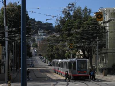
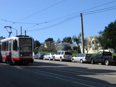
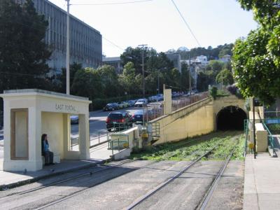
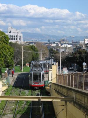
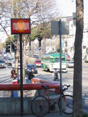
muni metro this is san francisco's local subway-surface system, with trains running underground through downtown san francisco and on city streets in outlying areas
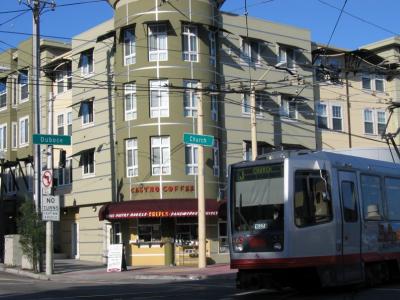
the k-ingleside, l-taraval and m-oceanview muni metro trains stop at church st and castro st stations under market st, serving the south side of the neighborhood for quick trips to downtown... the n-judah trains run on duboce ave on the north side of the triangle... the j-church trains run down church st to dolores park and noe valley
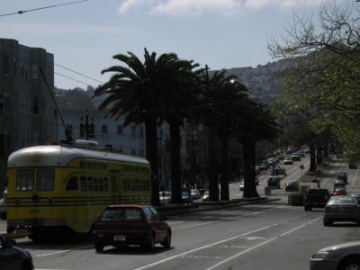
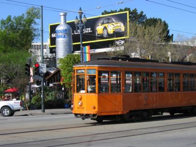
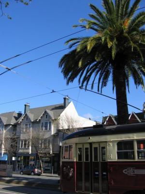
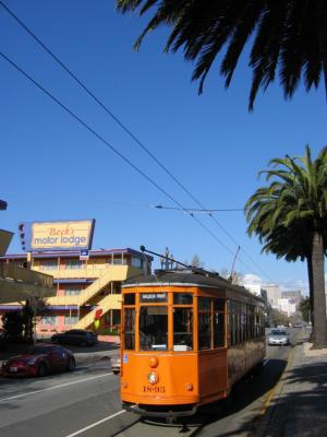
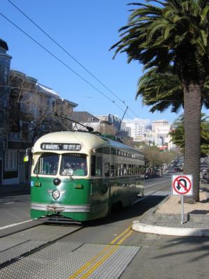
f-market historic streetcar the f-market line is a surface streetcar line which runs the length of market st, providing more local service than the metro trains... many different historic streetcars are used on this line... click here for more info about the market street railway group who work to preserve and operate historic streetcars in san francisco
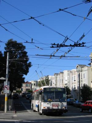
crosstown buses two crosstown bus lines serve the triangle: the 22-fillmore along church st on the east side of the neighborhood and the 24-divisadero along castro st on the west side... the 22 provides trips north to hayes valley, the western addition, pacific heights and all the way to the marina as well as trips southeast to the mission and potrero hill... the 24 runs north along divisadero st through the western addition to pacific heights and south/east through noe valley and bernal heights to the bayview
other lines a number of frequent bus lines run along haight st, just north of the triangle... additionally, the 37-corbett provides service up into buena vista hill
bicycling despite the hills, san francisco is a very bike friendly city; the san francisco bicycle coalition works to promote bicycling as an "everyday" mode of transportation... many streets thoughout the city, including market st, have painted bike lanes and a portion of duboce ave in the triangle is closed to motor traffic... click here for some photos of the duboce ave bikeway and mural...