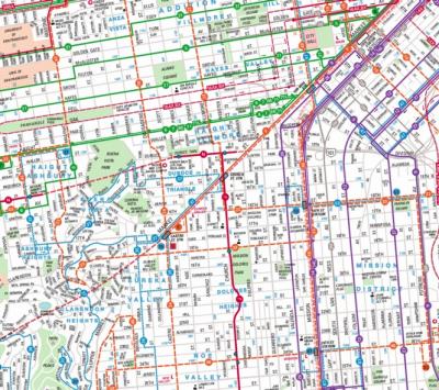
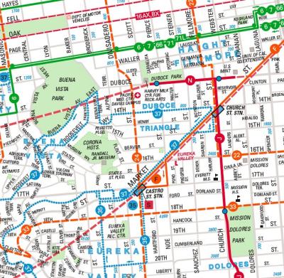
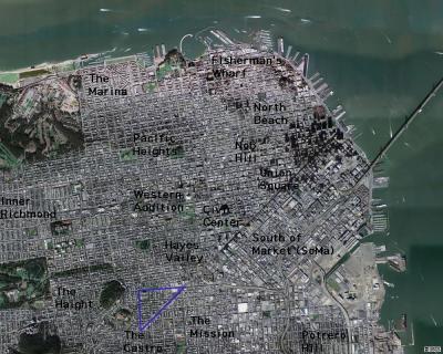
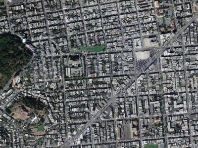
the first two maps show the duboce triangle streets, public transit lines and surrounding neighborhoods... the area covered in the photo tour is bounded by castro st, market st and duboce ave/duboce park... the second two maps are satellite photos from the terraserver website