


|
|
|
|
|
|
| Chris Bycroft | profile | all galleries >> John Muir Trail 2010 >> Part 2: Tuolumne Meadows to Red Meadows | tree view | thumbnails | slideshow | map |
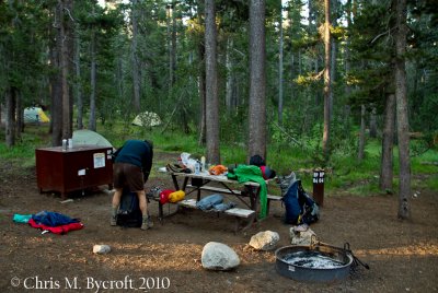 Day 5: 20 August 2010. Tuolumne Meadows backpackers campground |
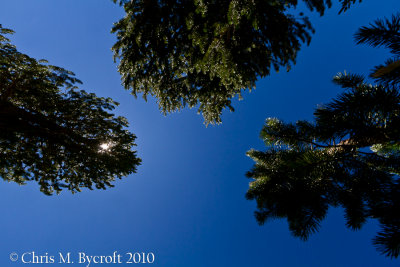
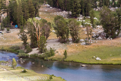
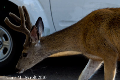 Mule Deer at Tuolumne Meadows |
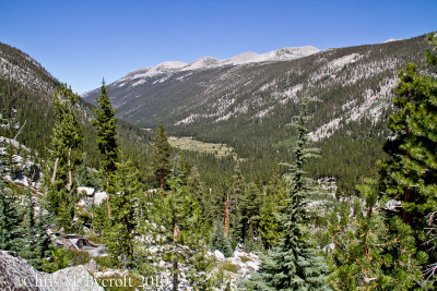
 Onwards to Donohue Pass |
 JMTsomewhere in Lyell Canyon |
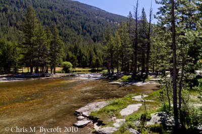
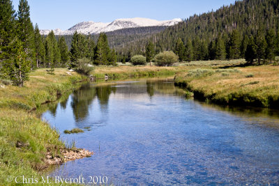 Lyell Fork in Lyell Canyon |
 Sierra gentian |
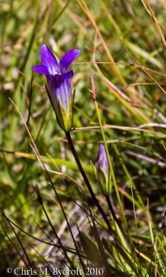 Sierra gentian |
 Rapids of Lyell Fork, Lyell Canyon |
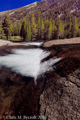 Rapids of Lyell Fork, Lyell Canyon |
 Rapids of Lyell Fork, Lyell Canyon |
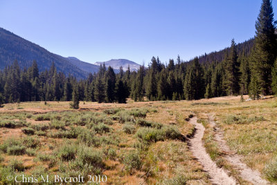
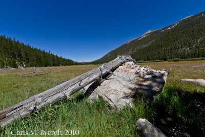
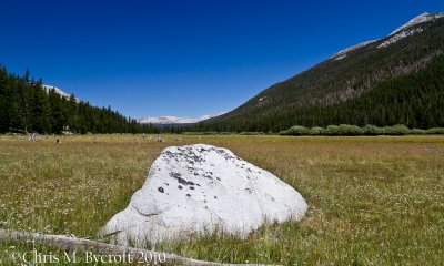
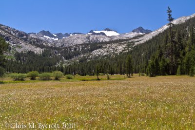
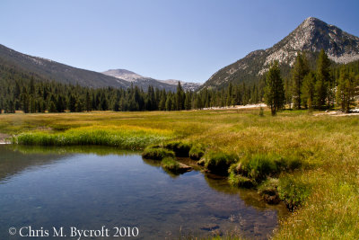 Meadows of Lyell Canyon |
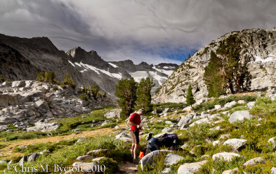
 View during break |
 Lyell Canyon (view from where we had come from) |
 Meadows down valley, Lyell Canyon |
 Reflections. Upper end of meadows, Lyell Canyon |
 Meadows of upper Lyell Canyon. Route to Donohue Pass ahead. |
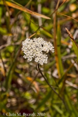 Yarrow (Achillea millefolium) |
 View back down valley - on route towards Donohue Pass from Lyell Canyon |
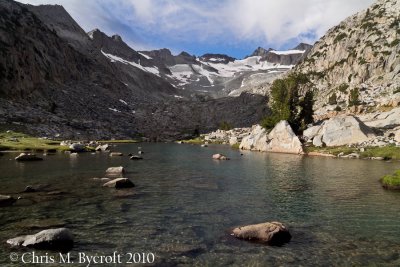
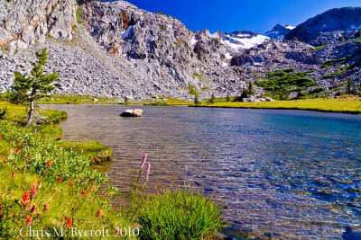 Lower lake below Donohue Pass |
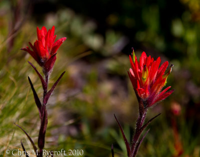
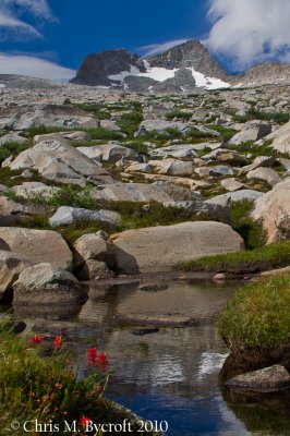
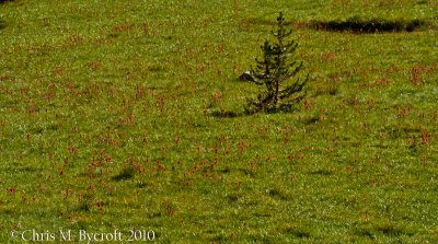 Red paintbushes in meadow |
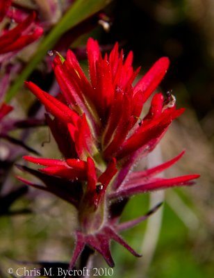
 Giant red paintbrush flowers |
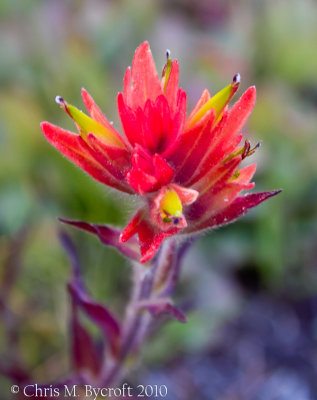
 Red paintbrush flower |
 Giant red paintbursh flower |
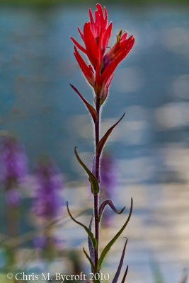 Giant red paintbrush flower |
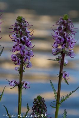 Elephant's Head flowers |
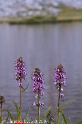 Elephant's head flowers |
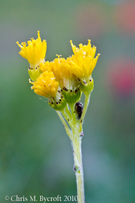 A yellow daisy |
 Shooting star flowers |
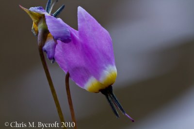 Shooting star flower |
 Whitebark pine |
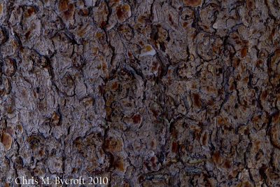 Whitebark pine bark |
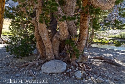 A multi-stemmed trunk of whitebark pine |
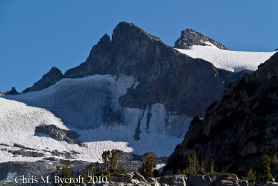 Mt Lyell, from lower lake below Donohue Pass |
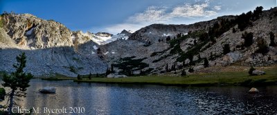 Pano of two photos, lower lake below Donohue Pass |
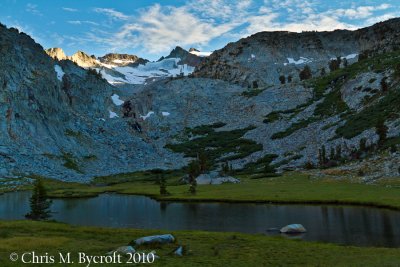 Evening light - lower lake below Donohue Pass |
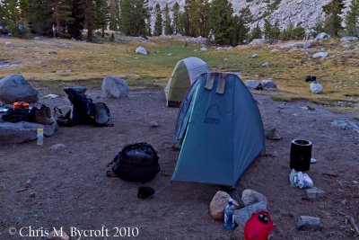 Tent site |
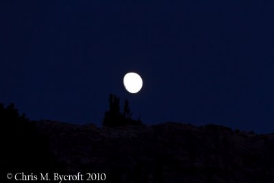 Moon rise, before heading for the tent |
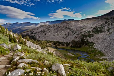 Day 6: 21 August 2010. View back towards lake we camped beside the previous night |
 Previous campsite |
 Roy, northwest of Donohue Pass |
 Lake, northwest of Donohue Pass |
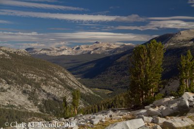 View down Lyell Canyon. |
 View of Mt Lyell, before heading to Donohue Pass |
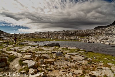 Final tarn before Donohue Pass |
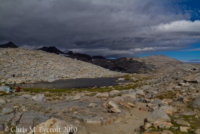
 Reading the park rules, as we leave. Donohue Pass. |
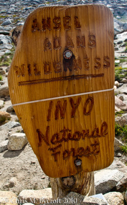 Entering Ansel Adams Wilderness Area. |
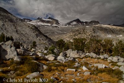
 Final view northwest from Donohue Pass (11,060 feet) |
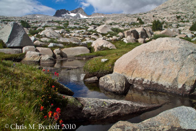 Red paintbrush flowers beside alpine stream |
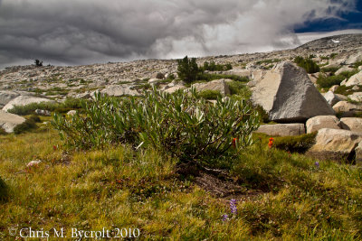
 South of Donohue Pass |
 Arctic willow and red paintbrushes, south of Donohue Pass |
 Stream reflections |
 Island Pass Lakelet, Ritter Range behind |
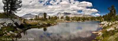 Pano of three photos. Island Pass Lakelet |
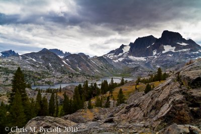
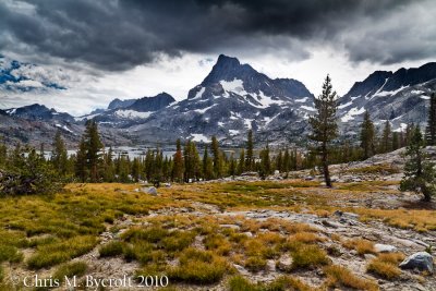 Banner Peak, beyond Thousand Island Lake |
 Banner Peak, beyond Thousand Island Lake |
Thousand Island Lake, Please SCROLL to the right (a panorama of six photos) |
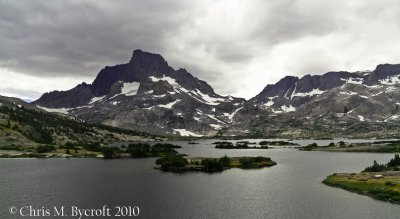 Thousand Island Lake, Banner Peak. |
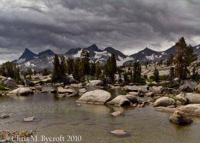
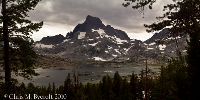
 Garnet Lake with Mt Ritter and Banner Peak of the Ritter Range |
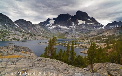 Garnet Lake with Mt Ritter and Banner Peak of the Ritter Range |
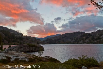 Day 7: August 22 2010. Sunrise at Garnet Lake. |
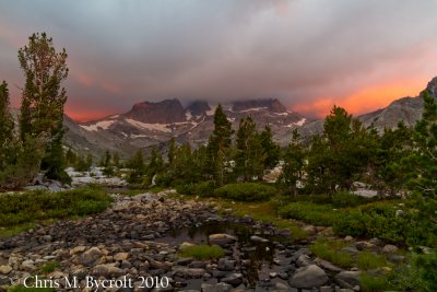 Sunrise of Mt Ritter and Banner Peak. |
 The campsite, near Garnet Lake |
 Leaving Garnet Lake |
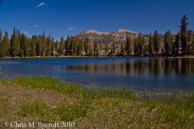 Gladys Lake |
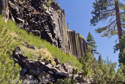 Basaltic columns; Devils Postpile National Monument |
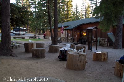 Red Meadows |
| comment | share |
| peter | 01-Jul-2013 13:29 | |
| Guest | 10-Dec-2010 09:09 | |