


|
|
|
|
|
|
| Backroads Galleries | profile | all galleries >> Northern California Backroads >> Capay Valley & Cache Creek | tree view | thumbnails | slideshow |
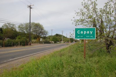
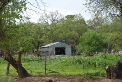
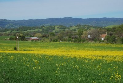
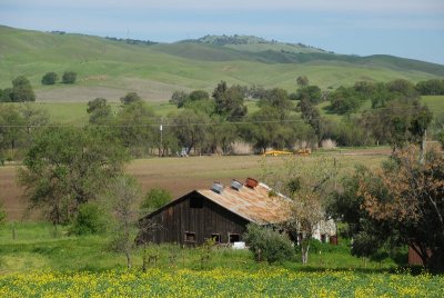
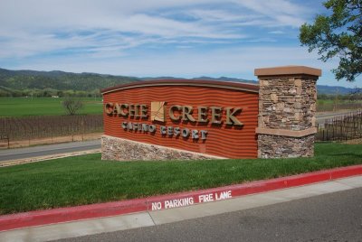
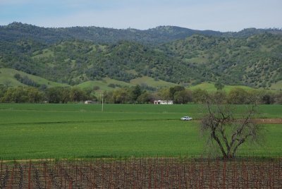
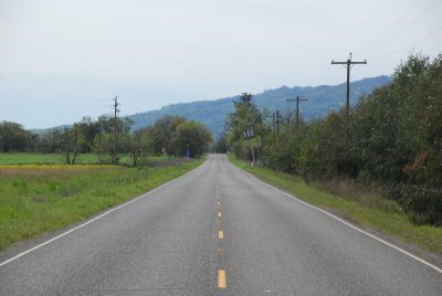
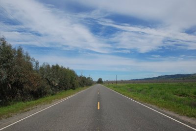
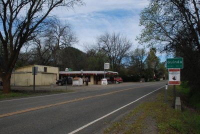
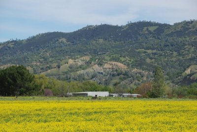
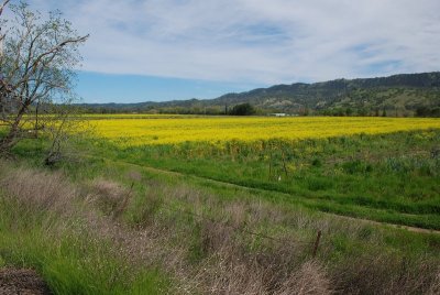
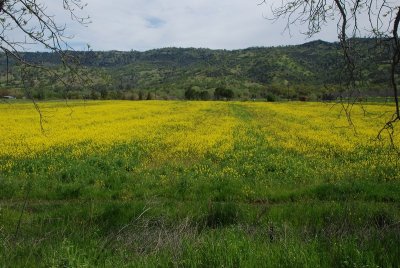
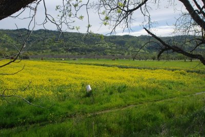
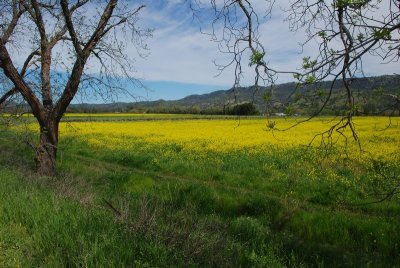
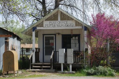
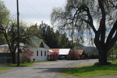
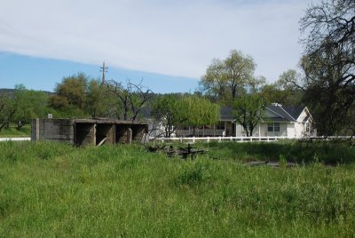
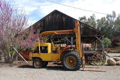
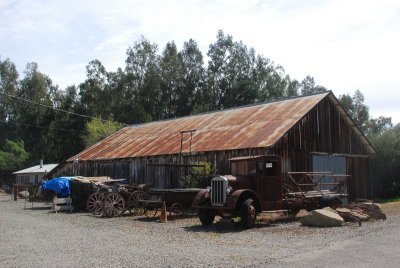
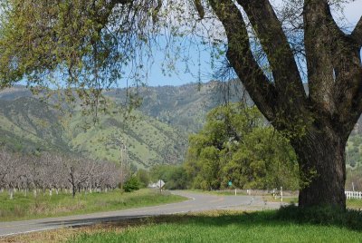
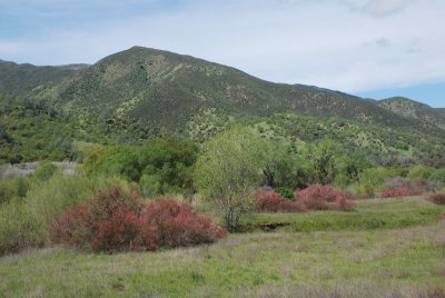
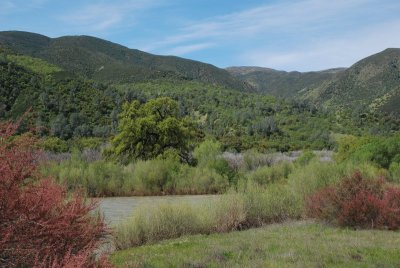
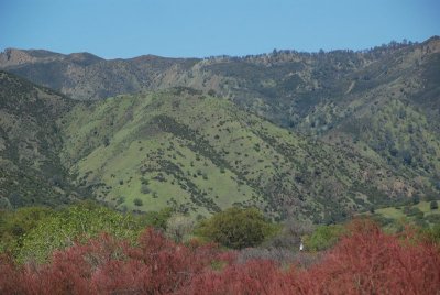
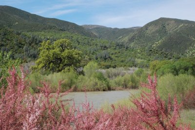
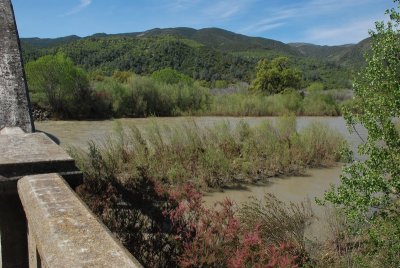
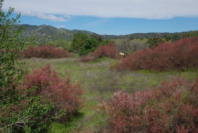
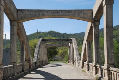
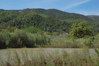
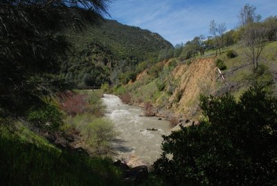
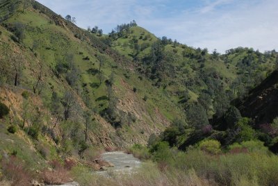
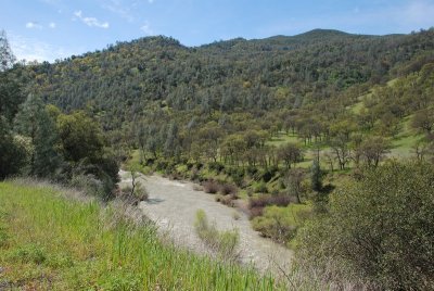
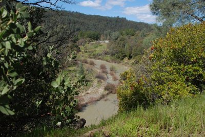
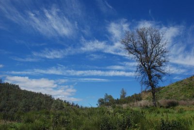
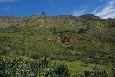
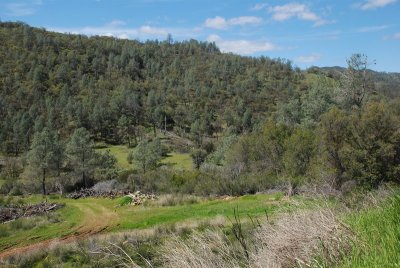
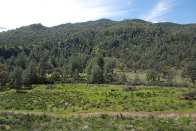
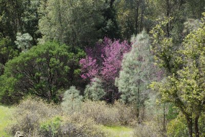
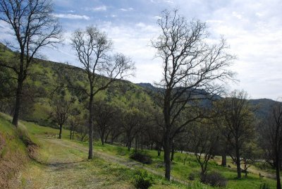
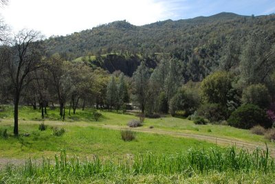
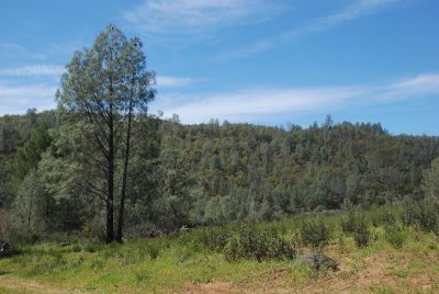
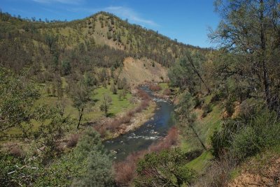
The drive along Hwy 16 from I-505 north of Vacaville to Hwy 20 east of Clear Lake takes you about 30 miles through some of the most beautiful scenery in Northern California. Starting out in a wide valley full of ranchland, the road passes through the communities of Capay, Brooks, Guinda and Rumsey. Just north of Rumsey, the valley abruptly narrows into a canyon, where there are a few campgrounds and a popular white water rafting spot. Best time of year to take this drive - either November for the autumn colors or April for the spring colors. I took these photos during the first week of April, 2011.
 |
 |
 |
 |
 |
 |
 |
 |
 |
 |
 |
 |
 |
 |
 |
 |
 |
 |
 |
 |
 |
 |
 |
 |
 |
 |
 |
 |
 |
 |
 |
 |
 |
 |
 |
 |
 |
 |
 |
 |
 |
 |
 |
 |
 |
 |
 |
 |
 |
 |
 |
 |
 |
 |
 |
 |
 |
 |
 |
 |
| comment | share |