


|
|
|
|
|
|
| Susan Gordon | profile | all galleries >> Israel - The Galilee area >> Atlit - Chateau Pelerin | tree view | thumbnails | slideshow |
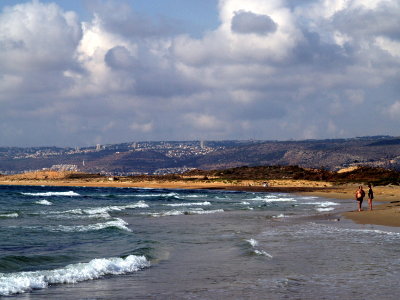 clouds atlit.JPG |
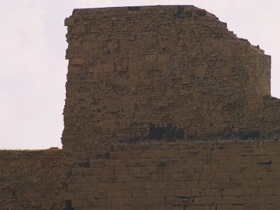 chateau pelerin.JPG |
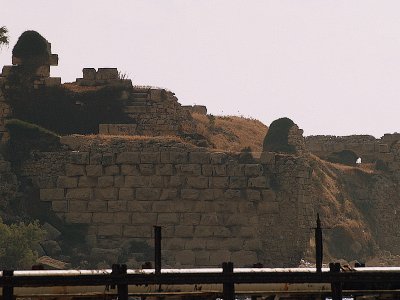 chateau pelerin3.JPG |
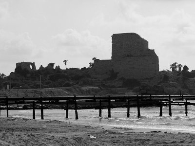 chateau pelerin1.JPG |
 clouds dog shape.JPG |
| comment | share |
| SEAARAND | 28-Aug-2009 03:53 | |
| SEARAND | 28-Aug-2009 03:18 | |