


|
|
|
|
|
|
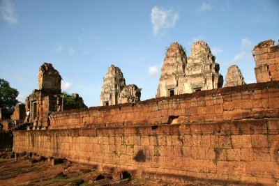
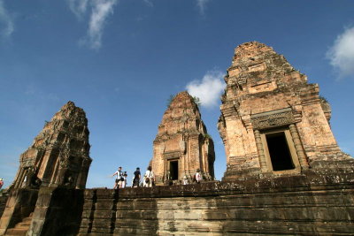
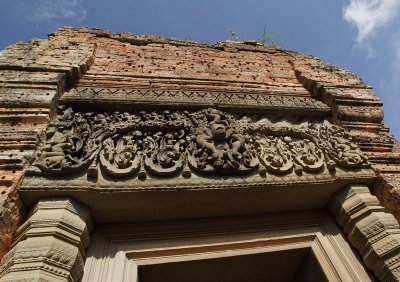
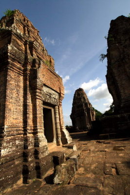
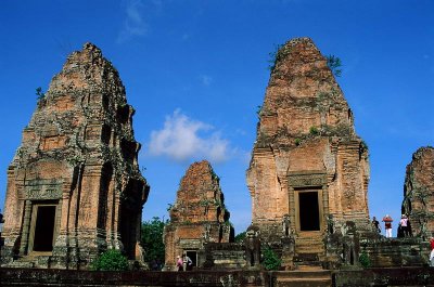
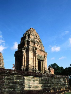
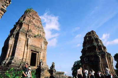
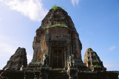
| Stone Ku | profile | all galleries >> Travel Worldwide >> Angkor §dô >> East Mebon | tree view | thumbnails | slideshow |
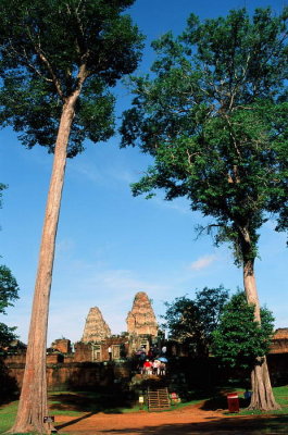 76640008.jpg |
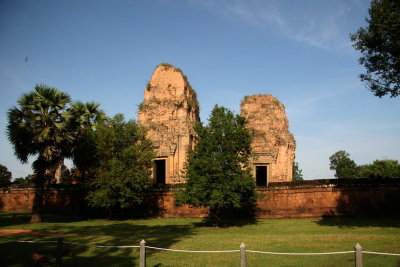
 76640009.jpg |
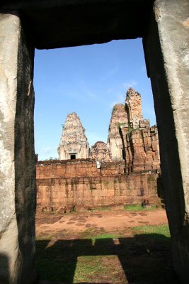
 IMG_4358.jpg |
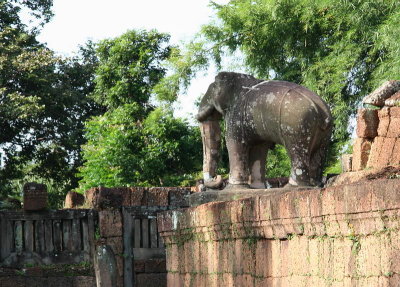
 IMG_4365.jpg |
 IMG_4368.jpg |
 IMG_4371.jpg |
 IMG_4375.jpg |
 IMG_4381.jpg |
 IMG_4388.jpg |
 76640010.jpg |
 76640011.jpg |
 76640012.jpg |
 76640013.jpg |
 76640014.jpg |
 76640016.jpg |
 76640019.jpg |
 76640020.jpg |
 76640024.jpg |
 76640027.jpg |
 76640028.jpg |
| comment | share |