


|
|
|
|
|
|
| LeSon Photography | profile | all galleries >> Galleries >> Visit ....Bryce Canyon National Park | tree view | thumbnails | slideshow |
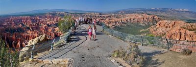
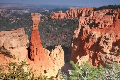
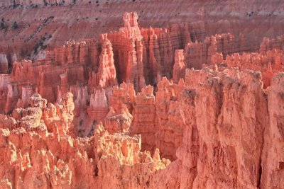
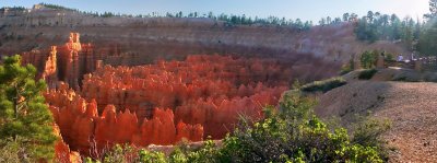
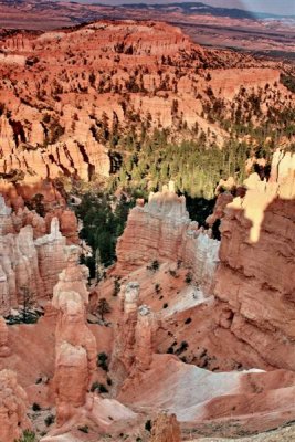
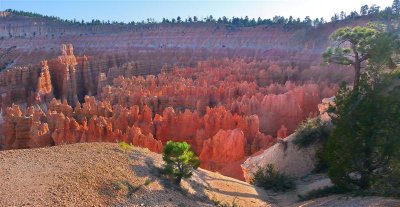
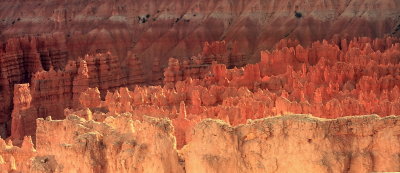 Sunrise Point IMG_6157_58.jpg |
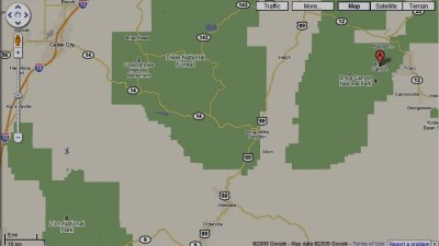 Bryce NP nearby Zion, Frwy 15 |
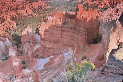
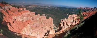
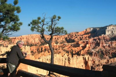
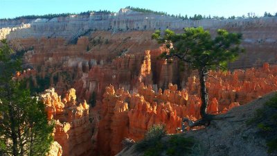
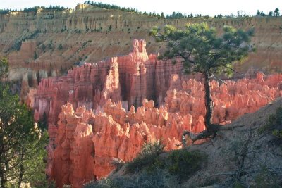
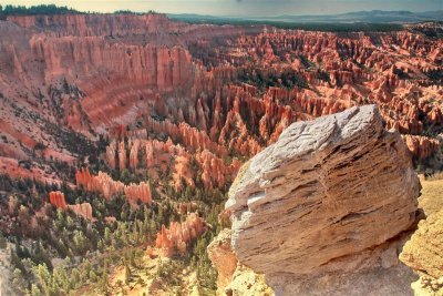 Bryce Point IMG_6097.jpg |
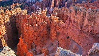
 The Grotto at Bryce Point MG_6096.jpg |
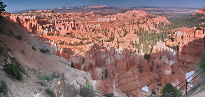
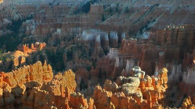
 Bryce Point overlook P1070990_91.jpg |
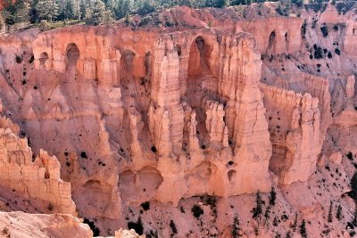
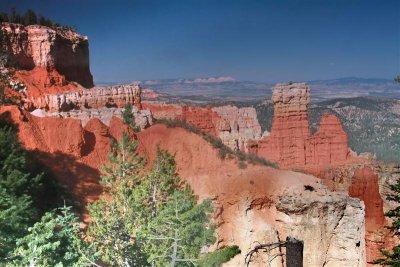
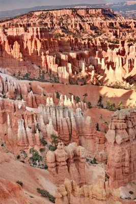
 Inspiration Point IMG_6126_27_28.jpg |
 Inspiration Point IMG_6131.jpg |
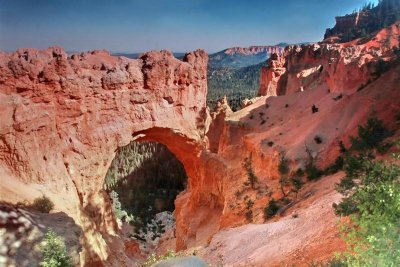 Natural Bridge IMG_6093.jpg |
 Piracy Point IMG_6082.jpg |
 Piracy Point P1070978.jpg |
Piracy Point SP1070949_50_51.jpg |
 Piracy Point IMG_6067_67_69.jpg |
 Piracy Point IMG_6081.jpg |
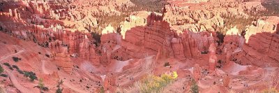
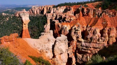
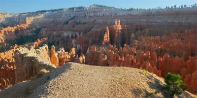
 Sunrise Point .jpg |
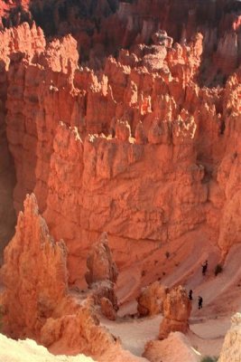 Sunrise Point, human scale @bottom IMG_6147.jpg |
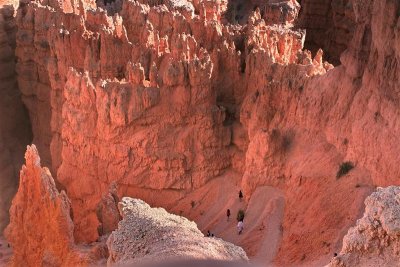 Sunrise Point human scale @bottom IMG_3206.jpg |
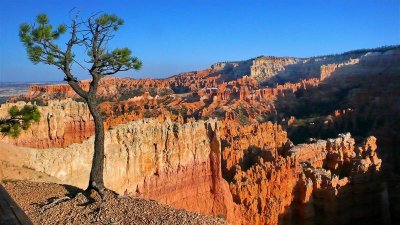
 Sunrise Point IMG_6168.jpg |
Sunrise Point P1080016_17_18.jpg |
 Sunrise Point P1080032_33.jpg |
 Sunrise Point P1080037.jpg |
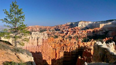
 Sunrise Point IMG_6113_14_15.jpg |
 Sunrise Point IMG_6149.jpg |
 Sunrise Point IMG_6152.jpg |
 Sunrise Point IMG_6171.jpg |
 Sunrise Point P1080011.jpg |
 Sunrise Point P1080018.JPG |
 Sunrise Point P1080021.JPG |
 Sunrise Point P1080022.jpg |
 Sunrise Point P1080024.jpg |
 Sunrise Point P1080036.jpg |
| comment | share |