


|
|
|
|
|
|
| Stew Gitlin | profile | all galleries >> Route of the Maya >> Panama and the Panama Canal >> The Panama Canal | tree view | thumbnails | slideshow |
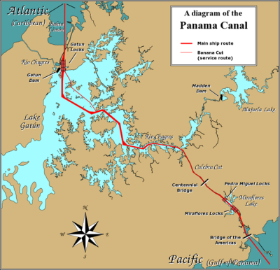 Panama Canal Map |
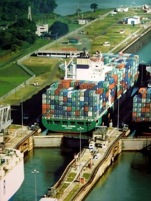 This is a Picture of a Picture of a Large 'Panamax' Ship at the Miraflores Locks |
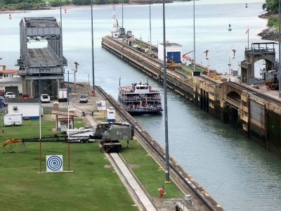
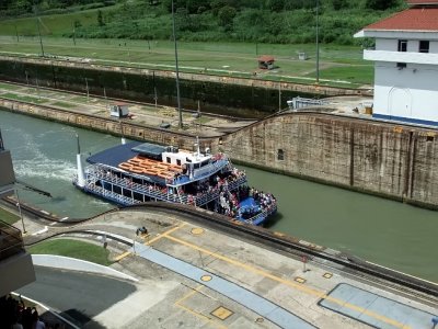
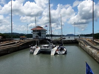
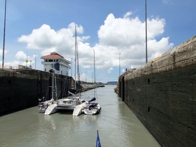
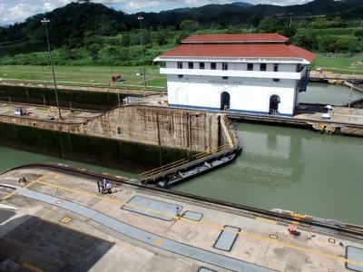 The Miraflores Locks |
 |
 |
 |
 |
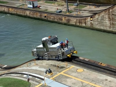 The Electric Locomotives Used to Pull the Large Ships Through the Canal. |
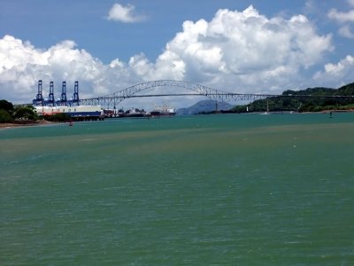
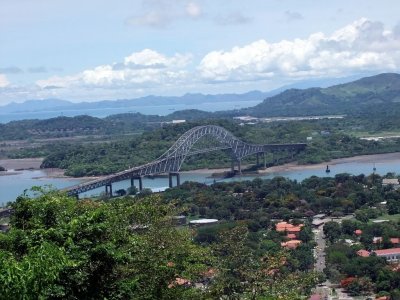 The Bridge of the Americas |
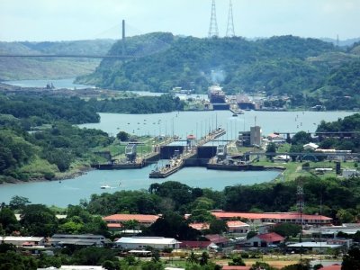 The Centennial Bridge in the Background, a Large Ship in the Pedro Miguel Locks, and the Miraflores Locks in the Foreground. |
 |
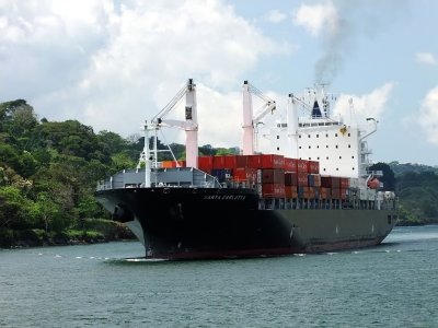 |
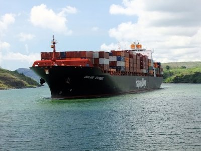
 One of the Large 'Panamax' Ships |
 |
 |
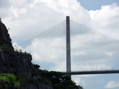
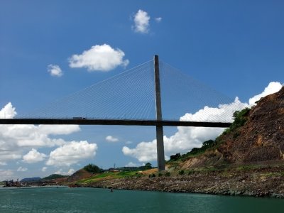
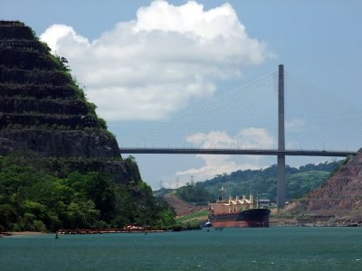 The New Centennial Bridge |
 |
 |
 |
 |
 |
 |
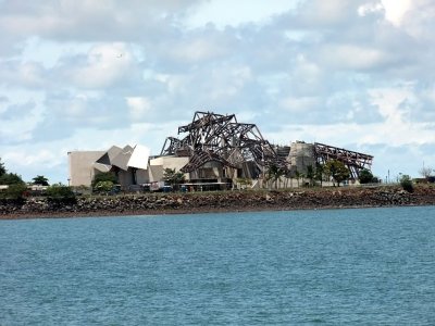 Construction of the New BioDiversity Museum |
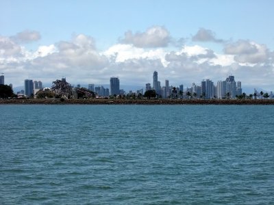 Panama City Skyline |
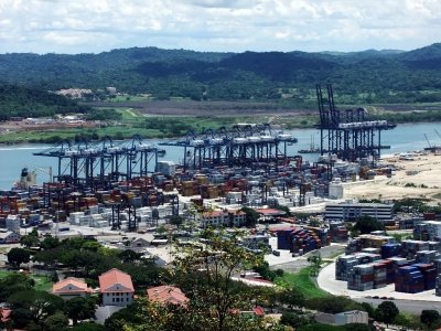
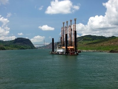
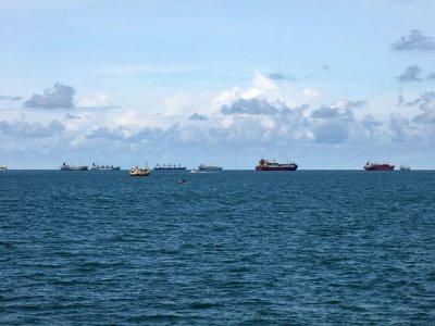 Ships Waiting Their Turn to Enter the Canal. |
| comment | share |
| Jun Wu | 24-Sep-2011 16:30 | |