


|
|
|
|
|
|
| |
| 02-Dec-2016 | |
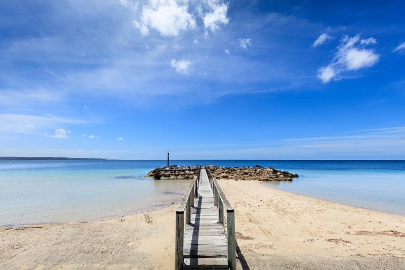
Location where Nicolas Baudin landed whilst mapping Kangaroo Island in 1802.
The Australian mainland can be seen in the background
From Wikipedia
In October 1800 Nicolas Baudin was selected to lead what has become known as the Baudin expedition to map the coast of Australia (New Holland). He had two ships, G�ographe and Naturaliste captained by Hamelin, and was accompanied by nine zoologists and botanists, including Jean Baptiste Leschenault de la Tour. He reached Australia in May 1801, and would explore and map the western coast, and a part of the little known southern coast of the continent. The scientific expedition was a great success, with more than 2500 new species discovered. The French also met Aboriginal Peoples and treated them with high respect.
In April 1802, he met Matthew Flinders, also engaged in charting the coastline, in Encounter Bay. Baudin then stopped at the British colony at Sydney for supplies. In Sydney he bought a new ship � Casuarina � named after the wood it was made from. From there he sent home Naturaliste, which had on board all of the specimens that had been discovered by Baudin and his crew. He then headed for Tasmania, before continuing north to Timor. Baudin then sailed for home, stopping at Mauritius, where he died of tuberculosis.
According to researchers from the University of Adelaide, during this expedition Baudin prepared a report for Napoleon on ways to invade and capture the British colony at Sydney Cove.
099A3424KIresize.jpg
© Russell TUNNY 2023. All Rights Reserved