01-JUN-2007
Wait, hold on...
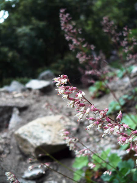
Did you stop and smell the roses along the way?
After all, this isn't about "bagging peaks", it's about enjoying Yosemite, so be sure to look around as you go.
OK, just checking, now we can proceed to Sierra Point.
01-JUN-2007
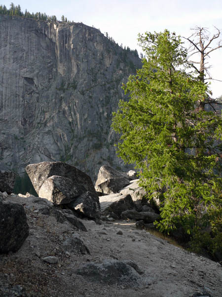
You're there!
You might want to lounge around on these rocks, but go around the bend to the lookout point and rail.
01-JUN-2007
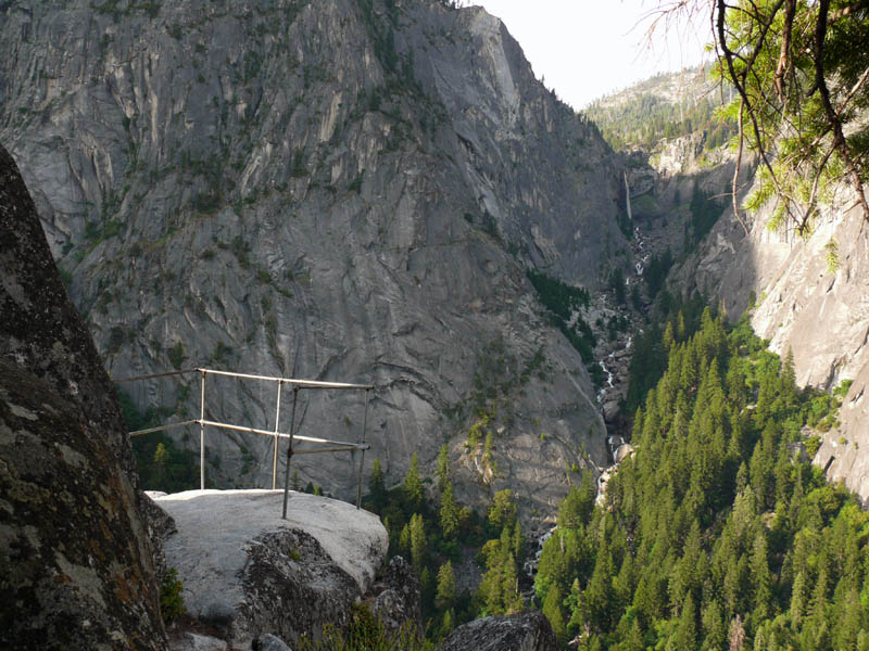
The old railing and Illilouette fall
It's nice that the railing is still intact and secure.
This is probably the best vantage point, but the rocks in the preceding photo are a good spot to relax also.
02-JUN-2007
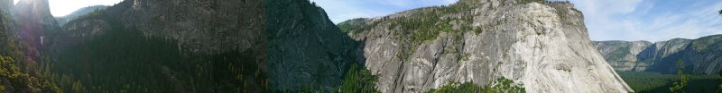
Panoramic view
Some of the view from Sierra Point.
Starting at left, under Liberty Cap is Vernal Fall, with Nevada Fall above; Illilouette Fall, then Glacier Point, Yosemite Falls and the Yosemite Valley.
(If you're trying to see all of that in the little tiny pic, click on it and it will get larger; if it's still small, click "original" size below the photo. Then use your browser's "back" button to get back here (or click on the large photo, if you prefer, but it will put you at the top of the page).
01-JUN-2007
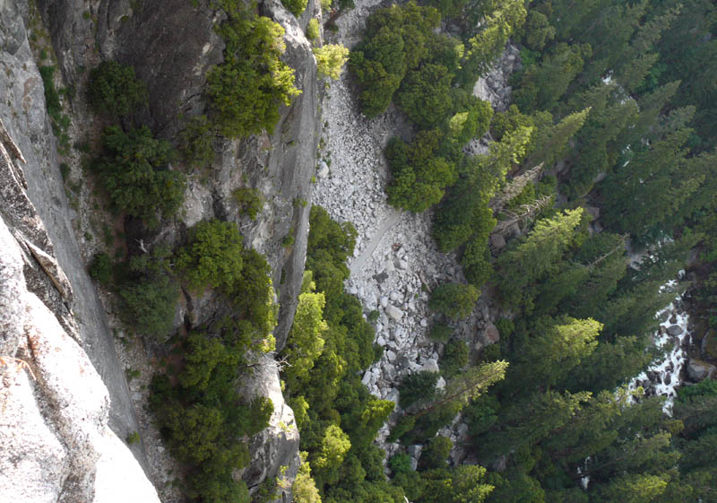
Looking down
The John Muir trail below, heading toward the Vernal Fall bridge from Happy Isles.
Merced River to the right.
01-JUN-2007
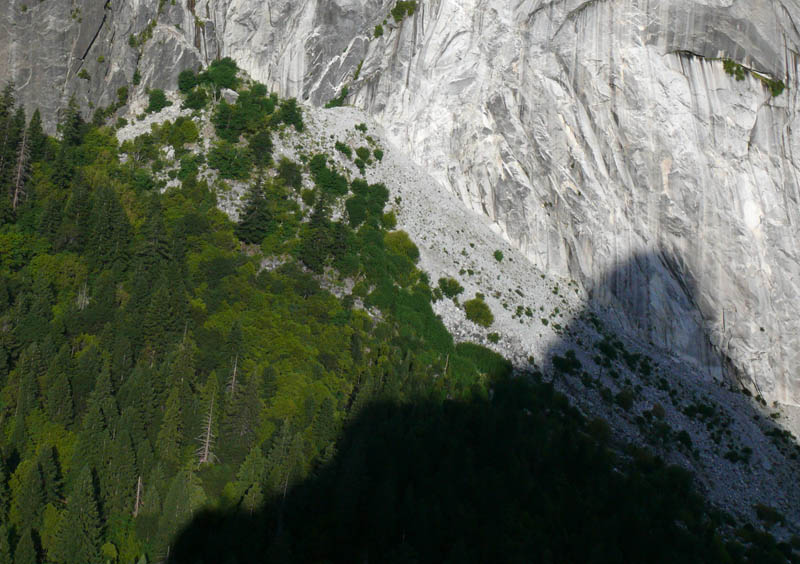
1996 Happy Isles Rockslide view
Looking across the Merced River canyon, you can see the huge rockslide that wiped out much of the Happy Isles area in 1996.
01-JUN-2007
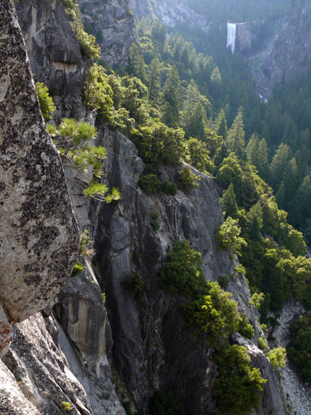
Vernal Fall
Still looking down, Vernal Fall is in the distance.
01-JUN-2007
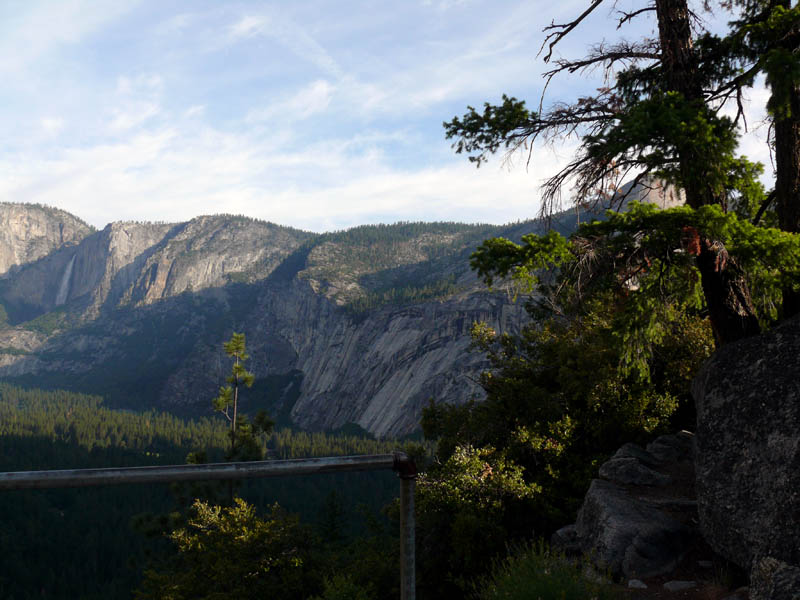
Yosemite Valley from the point
The point itself is a pretty scenic place, let alone all the surroundings.
01-JUN-2007
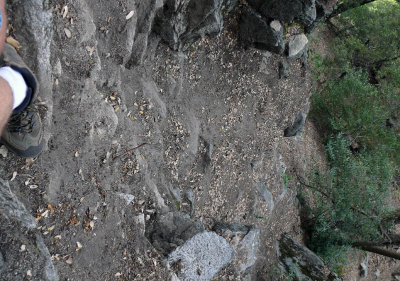
Take it slow going back
Remember this is an abandoned trail and there are some pretty steep and slippery parts; this is where I almost quit when I was going up, and it's a slippery spot.
10-APR-2007
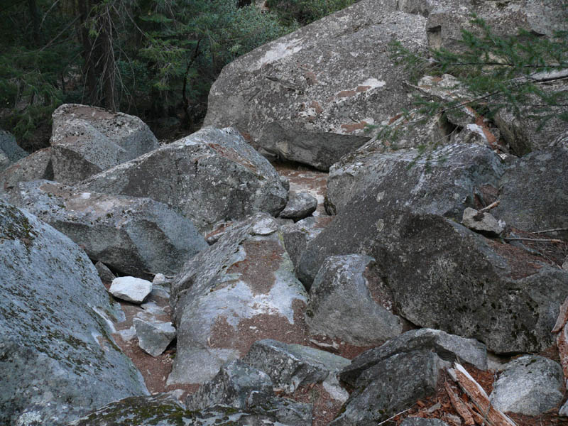
Heading back down
Following the old Sierra Point trail down, you eventually get to the top of the big rockfall, where you leave the trail and head down to the John Muir trail.
There's no trail through the rockfall, you basically just head down where you can fit over, under, around, or through the rocks.
10-APR-2007
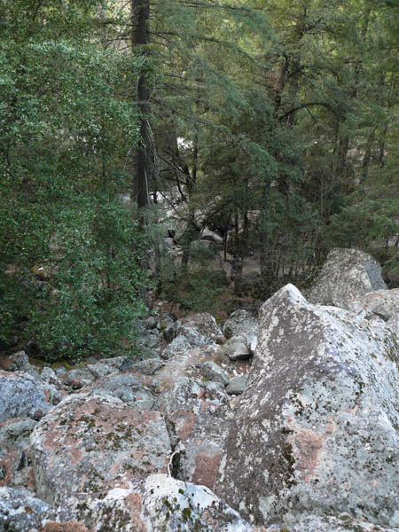
Back to the Trail
You can now see the trail below, and probably the people walking by wondering what you're doing up there.
When you get down, they'll probably look at you and wonder why you're sweating so much on this little short trail to lower Vernal Fall bridge, which is where most of them are headed. 8^)
24-APR-2007
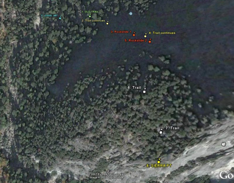
The Route
A google earth view of the waypoints I set on the route.
(click on the small photo for a better view)
0. Leave John Muir Trail
37�43'46.56"N
119�33'28.14"W
1. Old Trail
37�43'46.38"N
119�33'25.08"W
2. Trail continues
37�43'45.66"N
119�33'23.46"W
3. Rockslide 1
37�43'44.52"N
119�33'21.30"W
4. Trail continues
37�43'44.28"N
119�33'20.52"W
5. Rockslide 2
37�43'43.86"N
119�33'20.28"W
6. Trail
37�43'40.92"N
119�33'21.12"W
7. Trail
37�43'39.00"N
119�33'20.28"W
8. Sierra Point lookout
37�43'37.32"N
119�33'20.16"W