


|
|
|
|
|
|
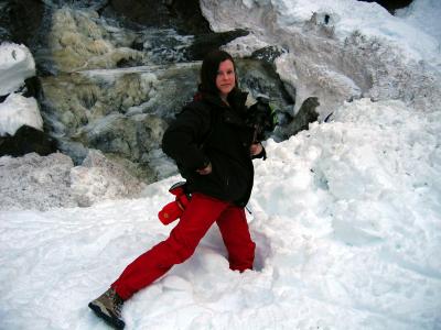
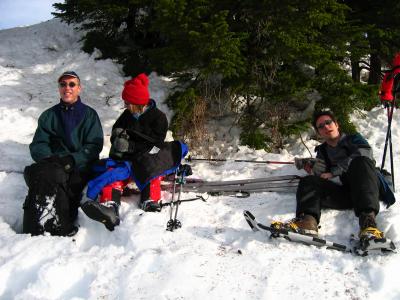
| Ron and Margaux | profile | all galleries >> Galleries >> Honeymoon in Garibaldi | tree view | thumbnails | slideshow |
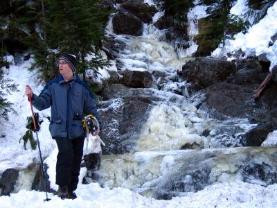
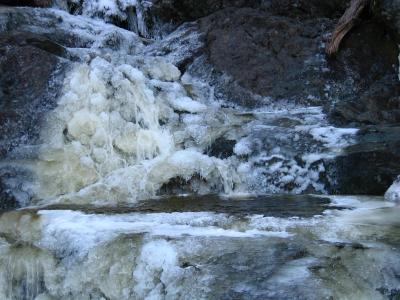
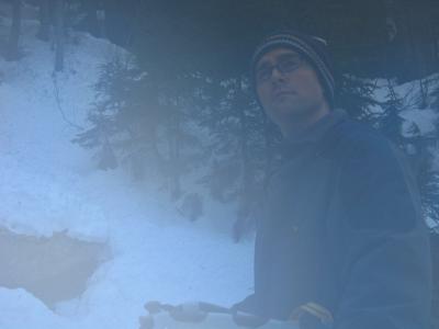
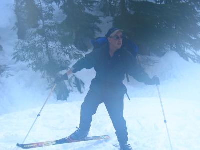
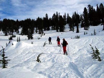
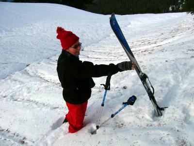
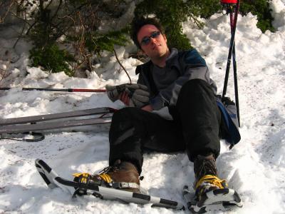
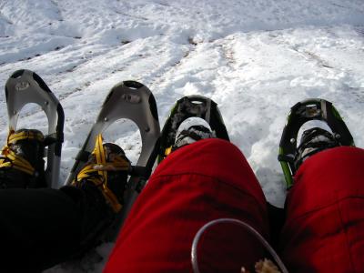
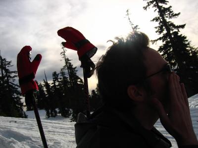
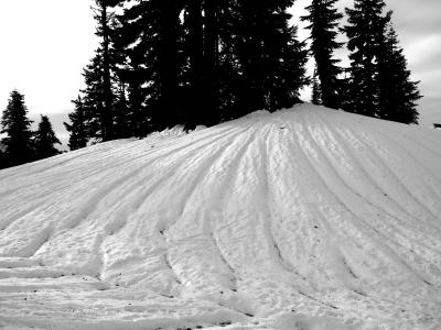
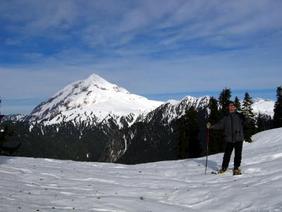
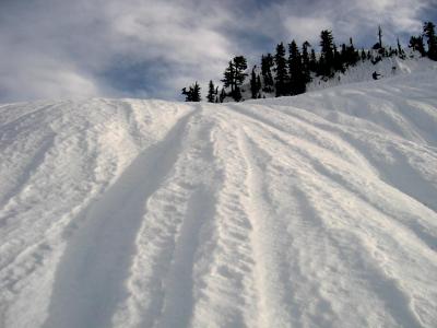
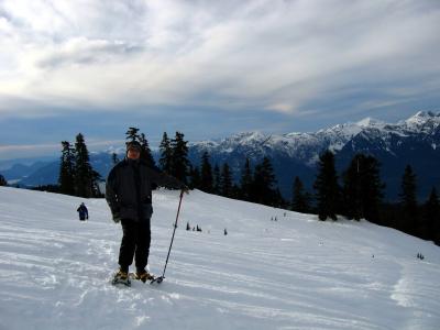
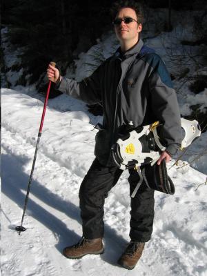 Elfin Lakes Trail |
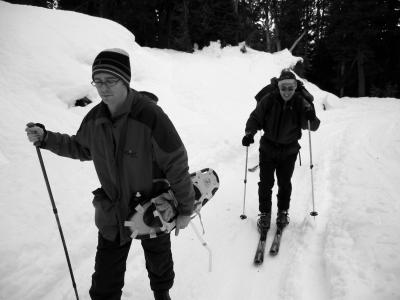 The route is an old road once used to |
 access the old Diamond Head Lodge |
 -- now a part of history. |
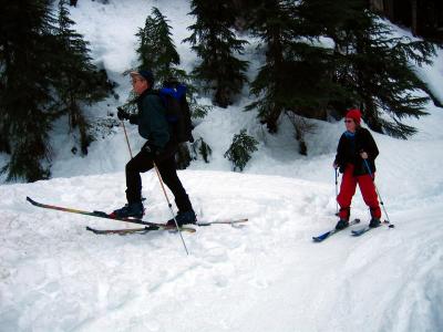
 The road climbs to approximately 3,100 |
 feet from sea level and is completely |
 surrounded by mountains: |
 the Tantalus Range to the west, |
 Mt. Garibaldi and Diamond Head to the |
 north, Mt. Mamquam to the east. |
 All have glaciers cascading to tree the line |
 (the Garibaldi Massif is an old volcano). |
 The sides have eroded away leaving |
 a lava plug that still stands today. |
 As the vistas open up, you can see |
 Mt. Atwell, aka Diamond Head for |
 its diamond shaped peak, to the north, |
 mostly composed of compressed unstable muds. |
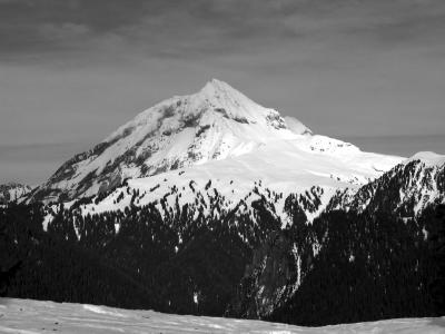 DIAMOND HEAD |
 Before and during the last ice age, |
 approximately 15-20,000 years ago, |
 Garibaldi Provincial Park was one of the |
 premier volcanic areas of the Cascades. |
| comment |