


|
|
|
|
|
|
| Paul Verizzo | profile | all galleries >> Galleries >> IBSSA Changes over the years | tree view | thumbnails | slideshow |
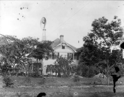
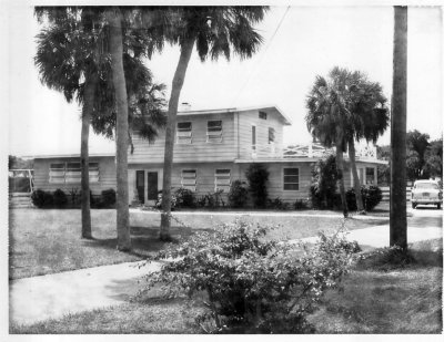 1008 Sylvan from front, 1961.jpg |
 1008 Sylvan from front, 2013.JPG |
 Looking south from 1008 Sylvan Dr. to Tahiti Park, early 1960's.jpg |
 Looking south from 1008 Sylvan Dr. to Tahiti Park, 2013.JPG |
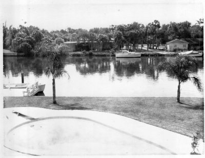
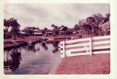 Looking north up Weber subdivision canal, 1961.jpg |
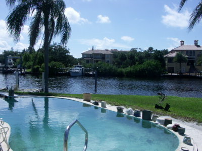
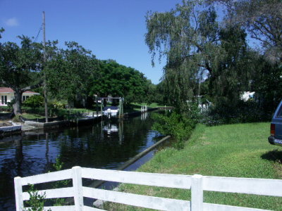 Looking north up Weber subdivision canal, 2013.JPG |
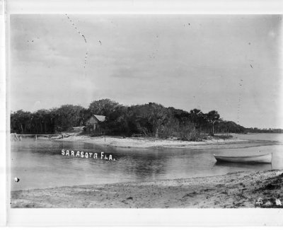 Mouth of Whitaker Bayou, ca 1910.jpg |
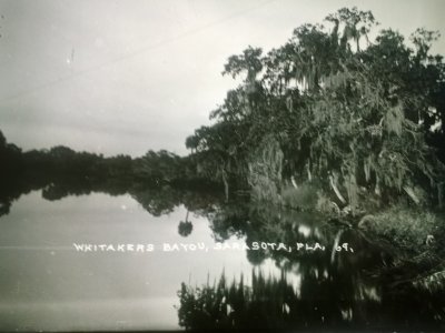
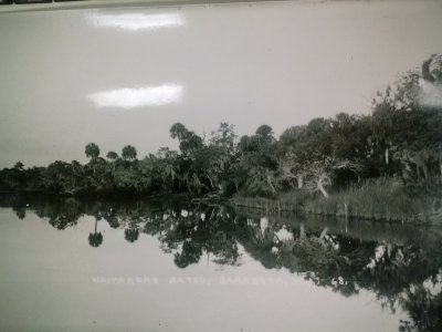
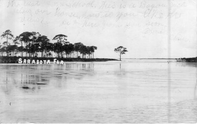 Whitaker Bayou ca. 1900, postcard.jpg |
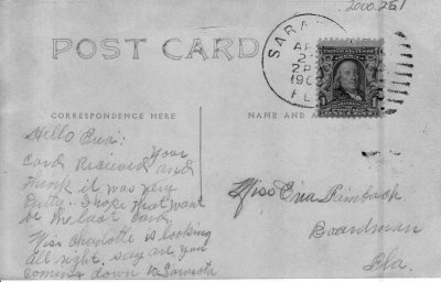 Flip side of Whitaker Bayou Postcard, 1900.jpg |
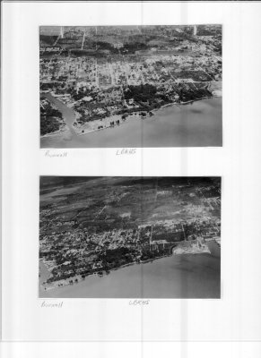
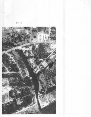 1948 Aerial 2.jpg |
 1948 Aerial.jpg |
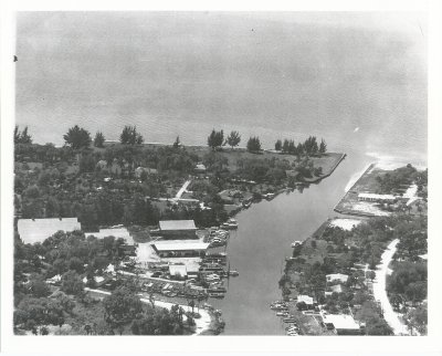
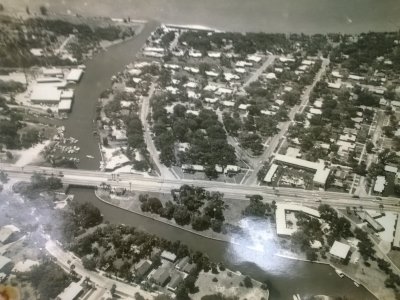
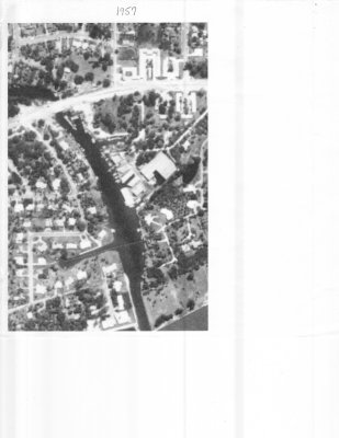 1957 Aerial.jpg |
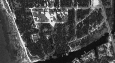
 Backside of WB mouth.jpg |
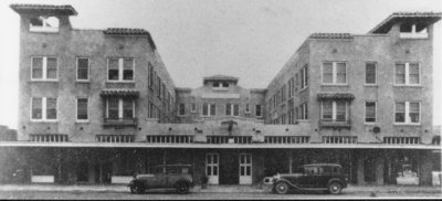 Bay Haven Hotel front_jpg.jpg |
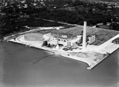 FP&L Plant at Payne Terminal, 1946.jpg |
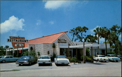 Mel O Dee ca. 1965.JPG |
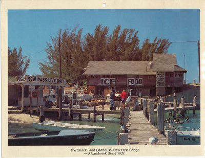 New Pass Live Bait ca. 1973.jpg |
 Palms Hotel in Indian Beach, 1900.jpg |
 Perhaps 1940's.jpg |
 Early Whitaker Bayou bridge.jpg |
 Between 1953 and 1956 |
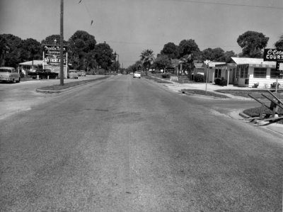 Road 45 US 41 at 14th St. 1956.jpg |
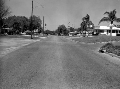 Road 45 US 41 at 17th St. 1956.jpg |
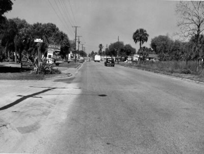 Road 45 US 41 at 24th St. 1956.jpg |
 Road 45 US 41 at 27th St. 1956.jpg |
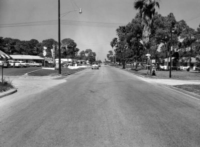 Road 45 US 41 at 42nd St. 1956.jpg |
 Road 45 US 41 at County Line. 1956.jpg |
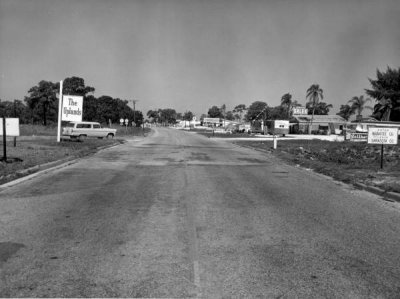
 Road 45 US 41 at Mecca. 1956.jpg |
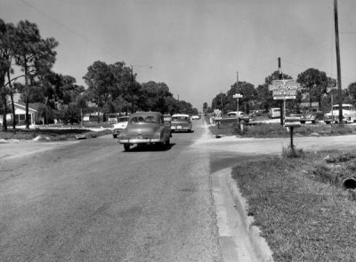
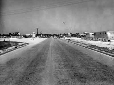 Road 45 US 41 at Trail Drive In. 1956.jpg |
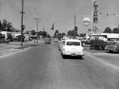
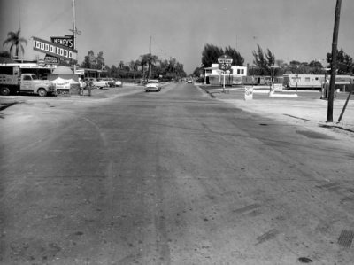 Tenth Street & 41, 1956.jpg |
 Whitaker Bayou and environs, April, 1967.jpg |
 Whitaker Bayou, unknown date 1.jpg |
 Whitaker Bayou, unknown date 2.jpg |
| comment | share |