


|
|
|
|
|
|
| Steve, Katherine, and Norah | profile | all galleries >> Springbreak 2021: Arizona and New Mexico Road Trip >> Day 5: Chiricahua National Monument, Sandhill cranes | tree view | thumbnails | slideshow |
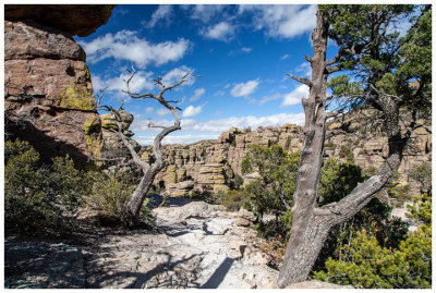
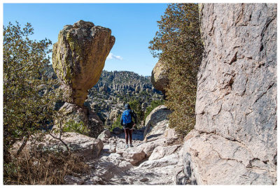 Echo Canyon Trail |
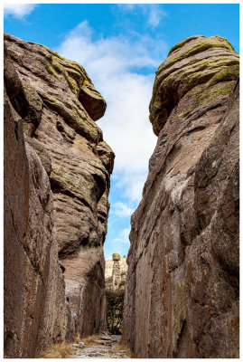
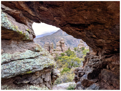
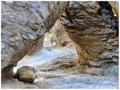 Echo Canyon Grotto |
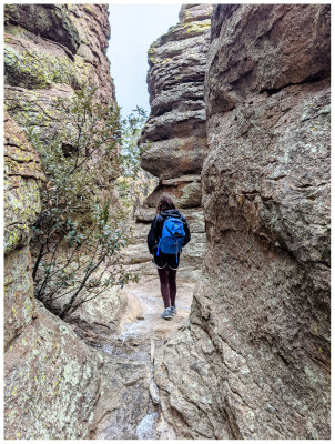
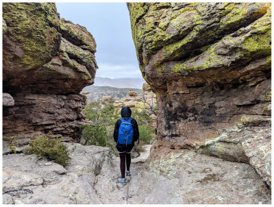
 Echo Canyon Trail |
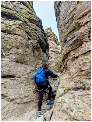
 Echo Canyon Trail |
 Echo Canyon Trail |
 Echo Canyon Trail |
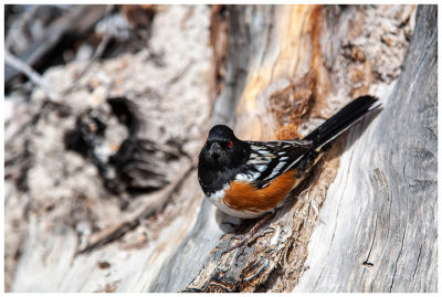
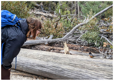 Spotted towhee chattering at Norah |
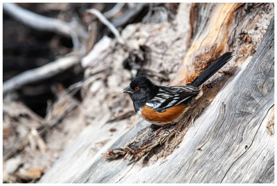
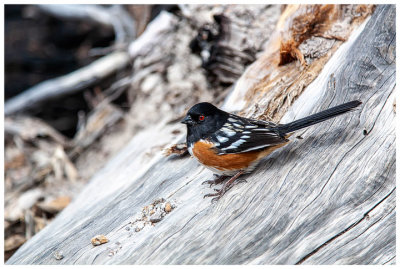 Spotted towhee |
 Spotted towhee |
 Spotted towhee |
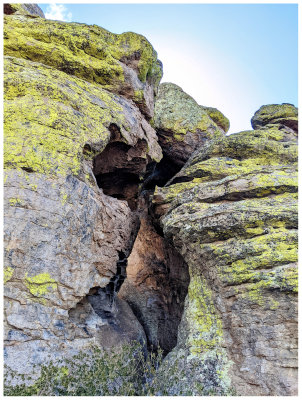
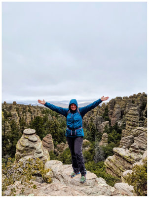
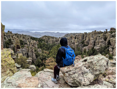
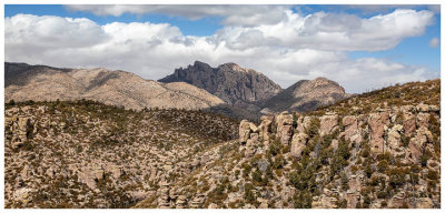
 Heart of Rocks Trail |
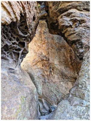
 Heart of Rocks Trail |
 Heart of Rocks Trail |
 Heart of Rocks Trail |
 Heart of Rocks Trail |
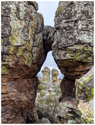
 Heart of Rocks Trail |
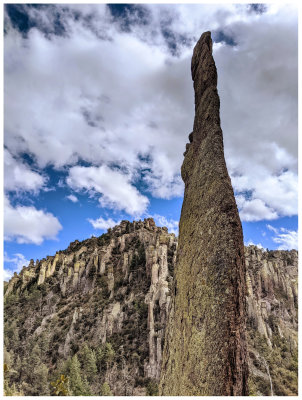
 Punch and Judy |
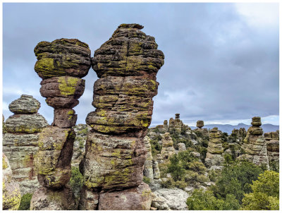 Kissing Rocks |
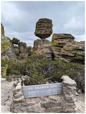 Balanced Rock |
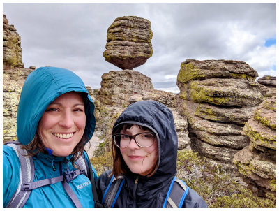 Balanced Rock |
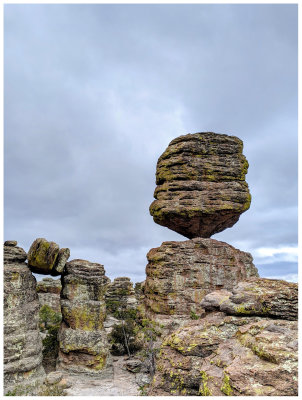 Balanced Rock |
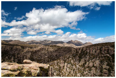 Inspiration Point |
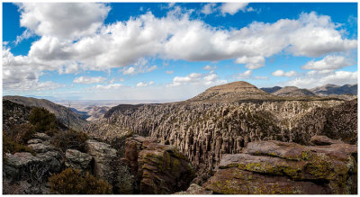 Inspiration Point |
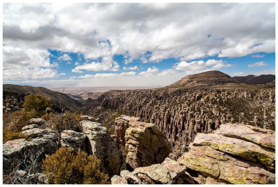 Inspiration Point |
 Cochise Head from Inspiration Point |
 Ed Riggs Trail |
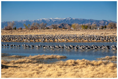
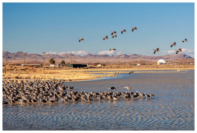
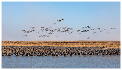 Sandhill cranes |
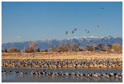
 Sandhill cranes |
 Sandhill cranes |
 Sandhill cranes |
 Sandhill cranes |
| comment | share |