photo sharing and upload picture albums photo forums search pictures popular photos photography help login
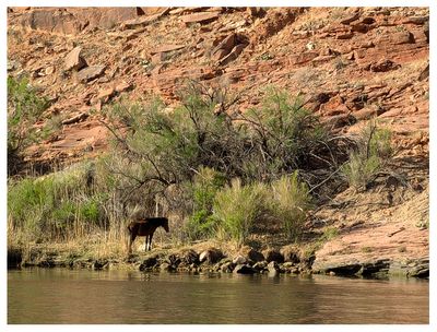
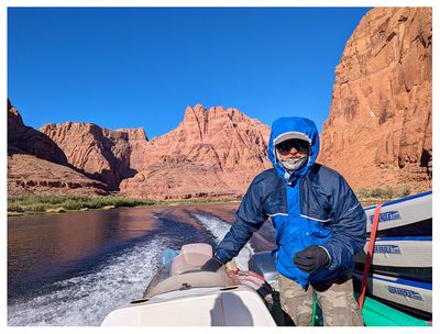
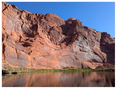
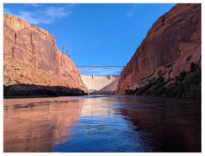
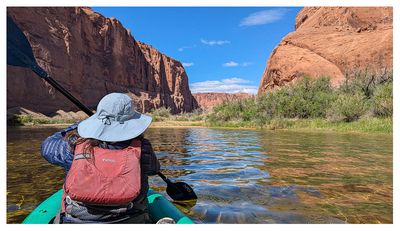
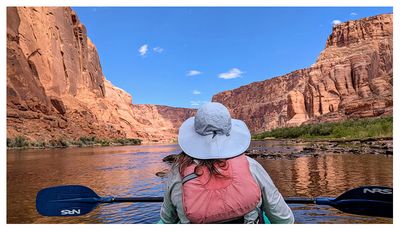
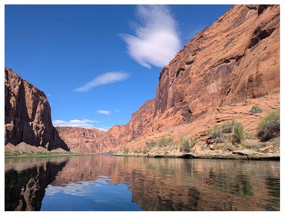
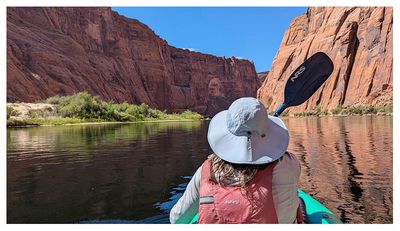
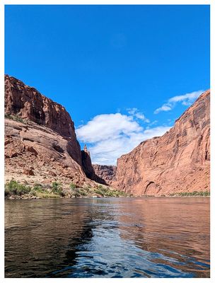
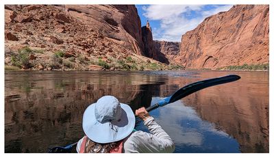
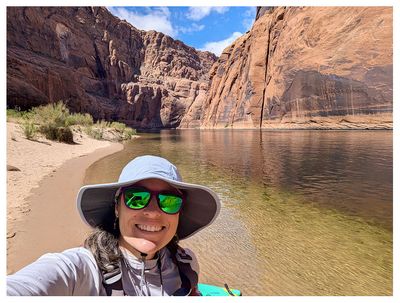
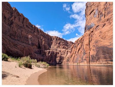
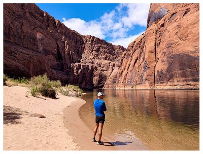
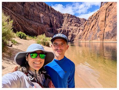
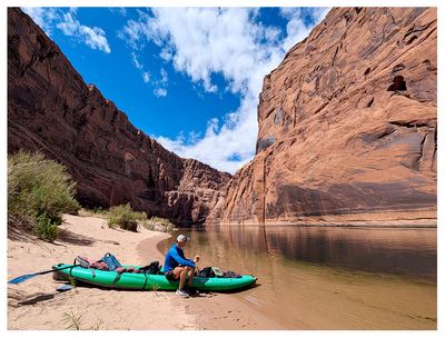
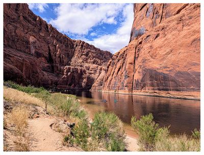
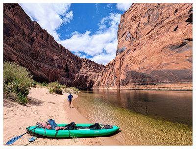
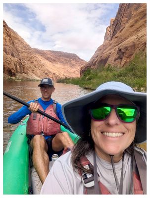
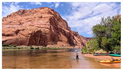
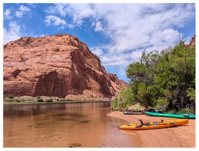
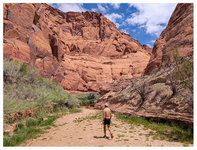
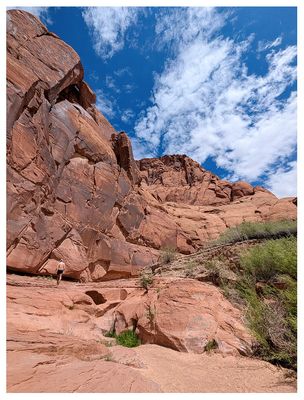
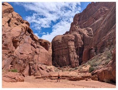
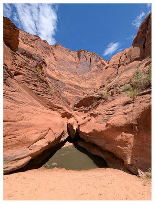
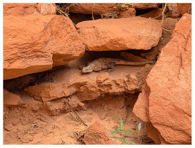
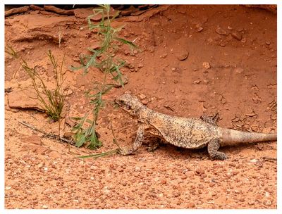
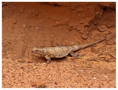
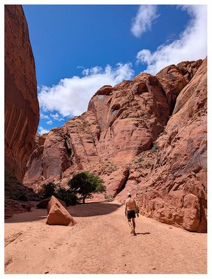
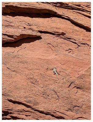
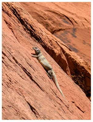
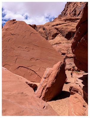
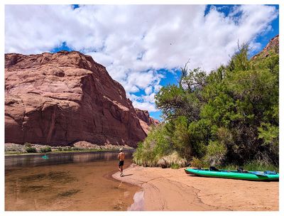
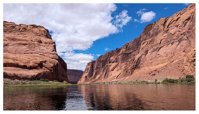
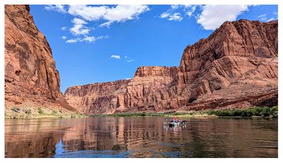
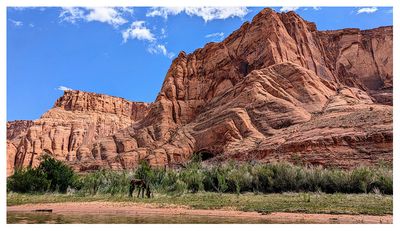
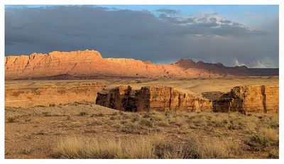
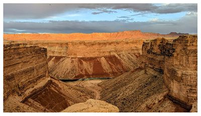
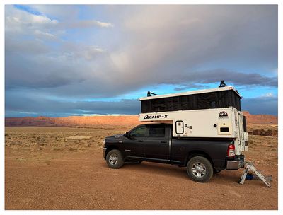
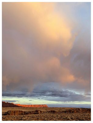
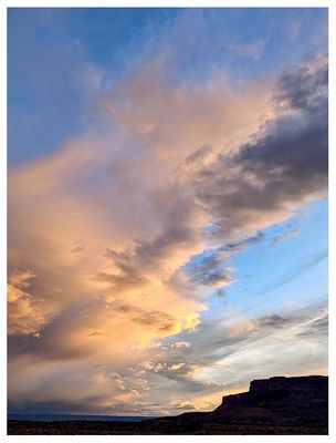
Steve, Katherine, and Norah | profile | all galleries >> Page Weekend April 2025: Cobra Arch, Edmaiers Secret, Kayaking the Colorado, and the Spencer Trail >> Colorado River Kayak tree view | thumbnails | slideshow

Colorado River Kayak

Monday morning we drove to Lees Ferry to meet the boat for our backhaul, booked through Cliff Dwellers Lodge. It was a 45 minute ride up river to where we got dropped off below Glen Canyon Dam. It was a pretty chilly ride and we were happy they had wool blankets for us to use. Along the ride the boat captain gave us tips for the day, pointed out the different outhouses and places to stop, marked the river miles, and shared general info.

From our launch point it was fifteen miles back to Lees Ferry. I believe the river moves around 3 mph and we paddled some, but it was pretty leisurely. We spied trout underwater, spotted a few herons, and saw the wild horses (closer to Lees Ferry) and many ducks. When we kayaked around Horseshoe Bend we could see the little people above at the lookout. Horseshoe Bend is definitely most impressive from above - there was not anything really distinctive about it from the river except for a nice looking campsite. There are multiple places to stop for a break or to use the bathroom and we ended up stopping at what our boat captain called “Fisherman’s Beach”, a day use area with a toilet. This was a really nice spot for a break. We had considered stopping to see the petroglyphs earlier on, but it looked kind of crowded with several large motorized boats stopping with a bunch of people, so we continued downstream.

We made one other stop at mile 4 (closer to Lees Ferry) to make the short walk up Waterholes Canyon. We turned around when we encountered a water filled hole in front of a small obstacle. On our way back we were startled by something larger than the usual lizards we saw - it was a chuckwalla! We watched him for a bit and were pleasantly surprised when we saw two more on our walk out. It was my first time seeing them and I didn’t realize they were so big. While we were at the beach area we saw a canyoneering party exit after doing Waterholes Canyon top down and they were waiting for their boat ride. Pretty cool way to end a canyoneering trip.

The last four miles of the river to Lees Ferry can be very difficult if windy (this is where the boat captain had to retrieve people the day before us due to strong winds) and luckily it was calm for us, so there were no issues heading into the homestretch. With our two stops it took us around 5.5 hours for the full trip. It was a lovely day - the temperatures were perfect, no wind, blue skies, and little boat traffic (I think it helped that we did this on a Monday). The scenery was beautiful and it was a peaceful kayak - we enjoyed it very much!

We were planning to eat at Cliff Dwellers Lodge on our way to boondocking off of 89a and were happy to see we got a 10% discount there with our kayak booking. I kept reading about their avocado pie and had to give it a go. It was good, although hard to describe the taste - lime was probably the most distinctive flavor. The clouds rolled in for a nice sunset at our campsite and Steve wandered over to see the cliffs of the Grand Canyon light up orange with the last rays of light. It was a nice, quiet evening for our last night camping.
g13/62/235762/3/175430270.b91ed646.JPEG g13/62/235762/3/175430271.cabaaf4e.JPEG g13/62/235762/3/175430272.6d14b594.JPEG g13/62/235762/3/175430273.38331e38.JPEG
g13/62/235762/3/175430274.e0faf9fa.JPEG g13/62/235762/3/175430275.62a46b34.JPEG g13/62/235762/3/175430276.7fc8039b.JPEG g13/62/235762/3/175430277.ad940e4f.JPEG
g13/62/235762/3/175430278.b83904b6.JPEG g13/62/235762/3/175430279.5392e208.JPEG g13/62/235762/3/175430280.636f348e.JPEG g13/62/235762/3/175430281.62a6168f.JPEG
g13/62/235762/3/175430282.718215ac.JPEG g13/62/235762/3/175430283.aa93911e.JPEG g13/62/235762/3/175430284.eed8e3c9.JPEG g13/62/235762/3/175430285.fd4029ba.JPEG
g13/62/235762/3/175430286.87176a7b.JPEG g13/62/235762/3/175430287.43ba947f.JPEG g13/62/235762/3/175430288.d0ee393a.JPEG g13/62/235762/3/175430289.ddc11015.JPEG
g13/62/235762/3/175430290.6c871c1d.JPEG g13/62/235762/3/175430291.cbbdba29.JPEG g13/62/235762/3/175430292.622da7ac.JPEG g13/62/235762/3/175430293.cf9f9e8c.JPEG
g13/62/235762/3/175430294.a2dae031.JPEG g13/62/235762/3/175430295.853007f2.JPEG g13/62/235762/3/175430296.6485e62b.JPEG g13/62/235762/3/175430297.59ad6870.JPEG
g13/62/235762/3/175430298.7271668d.JPEG g13/62/235762/3/175430299.74cde630.JPEG g13/62/235762/3/175430300.53b5ca60.JPEG g13/62/235762/3/175430301.90813036.JPEG
g13/62/235762/3/175430302.1cd56298.JPEG g13/62/235762/3/175430303.a770e034.JPEG g13/62/235762/3/175430304.9cafbd92.JPEG g13/62/235762/3/175430305.cfc2f232.JPEG
g13/62/235762/3/175430306.9a93692b.JPEG g13/62/235762/3/175430307.f9e6cc33.JPEG g13/62/235762/3/175430308.44db8636.JPEG g13/62/235762/3/175430309.07b7cd68.JPEG
g13/62/235762/3/175430310.3f512e27.JPEG g13/62/235762/3/175430311.c8f347f4.JPEG g13/62/235762/3/175430312.a250852c.JPEG g13/62/235762/3/175430313.40a99f36.JPEG