


|
|
|
|
|
|
| Steve, Katherine, and Norah | profile | all galleries >> John Muir Trail August 2025 >> Day 4: Crabtree Meadows to Forester Pass, overnight by Bubbs Creek | tree view | thumbnails | slideshow |
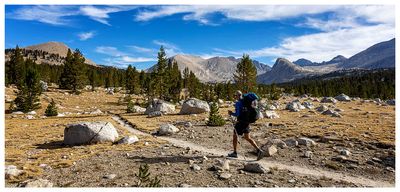 Beautiful morning on the trail |
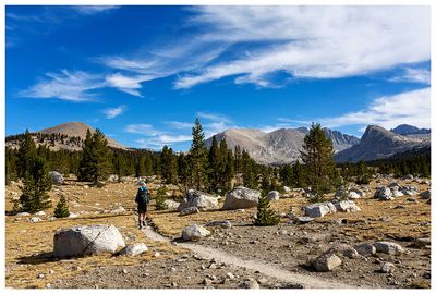 Steve on the trail |
 Steve on the trail |
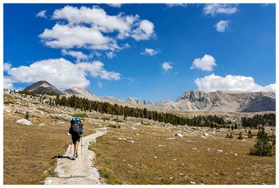
 Bighorn Plateau |
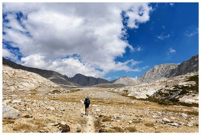
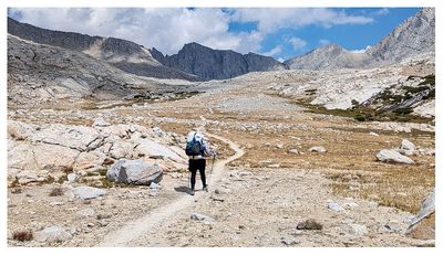
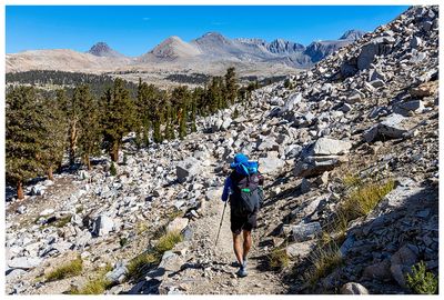 Heading to Tyndall Creek |
 Entering Forrester Pass Basin |
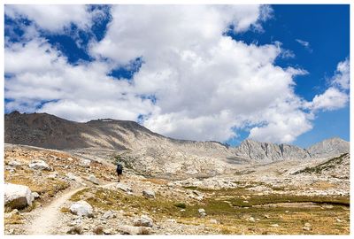
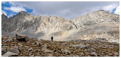
 Steve looking tiny in the basin |
 Forrester Basin |
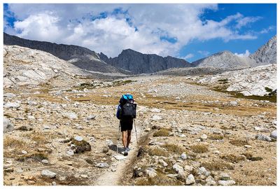
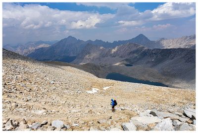
 Steve in the basin |
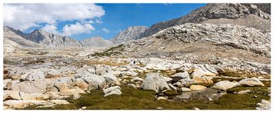
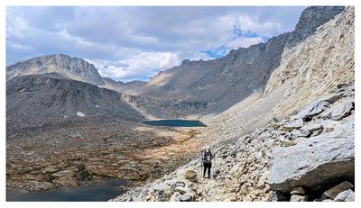
 Forrester Basin |
 Forrester Basin |
 Forrester Basin |
 A look at the pass ahead (small notch just off center to the right) |
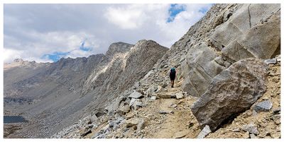
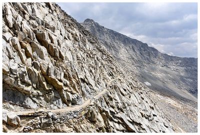
 Heading up to the pass |
 Forrester Pass |
 Forrester Pass |
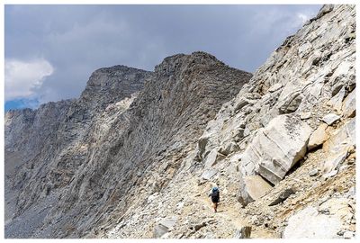
 Looking back at Steve on the trail to the pass |
 Almost there |
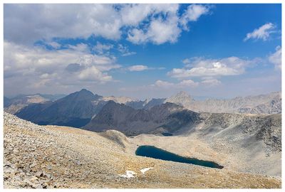 Smoky views from Forrester Pass |
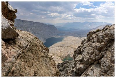 A look back at our approach |
 Forrester Pass |
 Descending Forrester Pass |
| comment | share |