


|
|
|
|
|
|
| Steve, Katherine, and Norah | profile | all galleries >> Peru 2016: The Huayhuash Circuit >> The Huayhuash Circuit >> Day 3: Cuartelwain to Mitococha | tree view | thumbnails | slideshow |
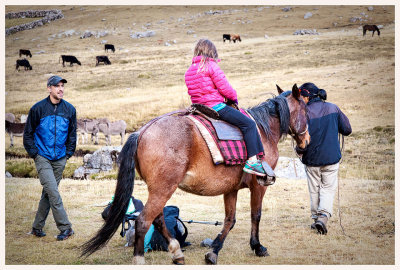
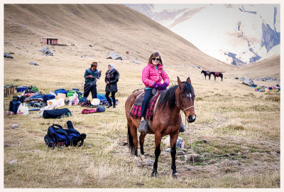 Norah test drives the horse |
 Walking around camp |
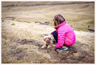 Our friend from the blizzard |
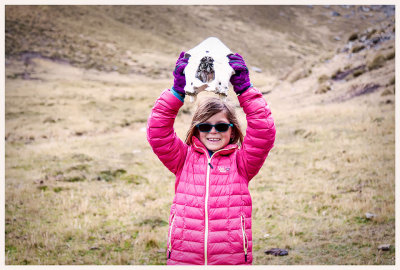 Another skull |
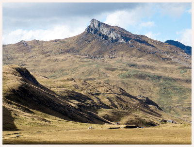
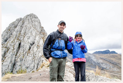 Cacananpunta |
 Enroute to Mitococha |
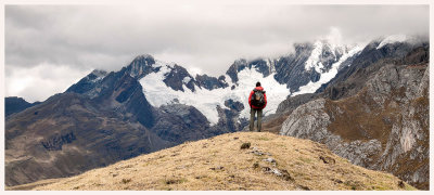 Steve and Jirishanca |
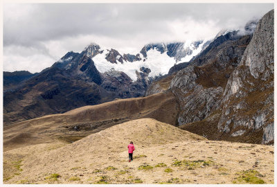
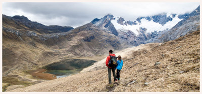
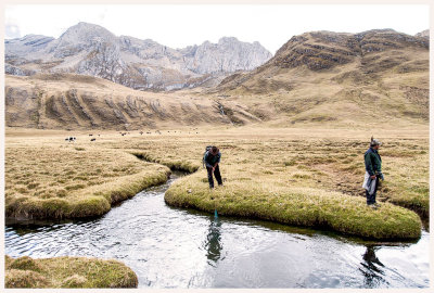
 Norah and Victor looking tiny |
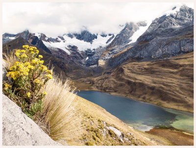
 Mitococha overlook |
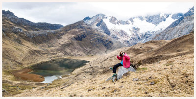 Mitococha overlook |
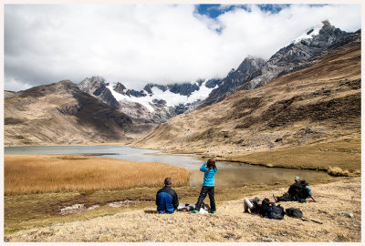 Taking it easy at Mitococha |
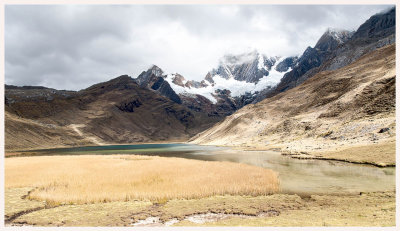 Mitococha |
 Miguel and Joel trying their luck with the trout |
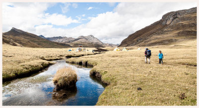 Approaching camp along the Rio Janca |
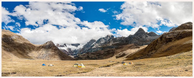 Our campsite with Jirishanca and Mitococha in the distance |
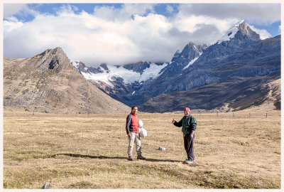 Victor and Joel at camp |
 Mitococha and Jirishanca |
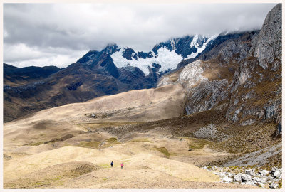
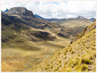 Valley view from above |
 Our day 3 campsite |
| comment | share |