


|
|
|
|
|
|
| Steve, Katherine, and Norah | profile | all galleries >> Sierra Nevada Backpack July 2020: Sequoia and Kings Canyon National Parks >> Day 4: Kaweah Basin to Roaring River via Colby Pass | tree view | thumbnails | slideshow |
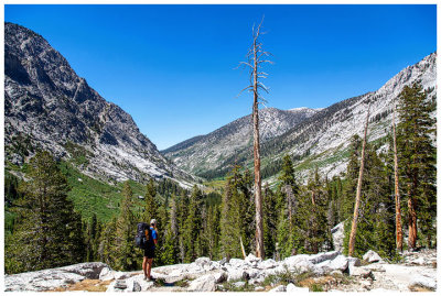
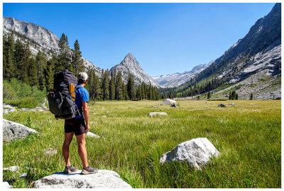
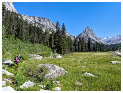
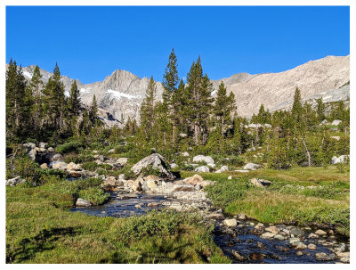 Mosquito Meadow |
 Mosquito Meadow |
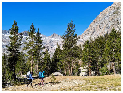 Hiking with our headnets |
 |
 |
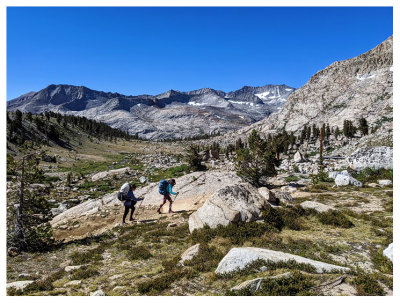 |
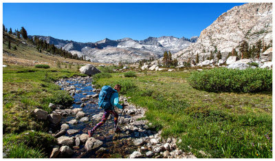
 Final ascent to Colby Pass |
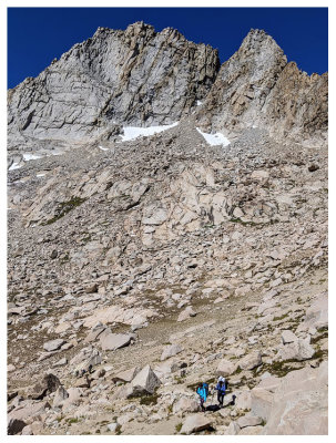
 Almost there |
 Colby Pass view into Sequoia National Park |
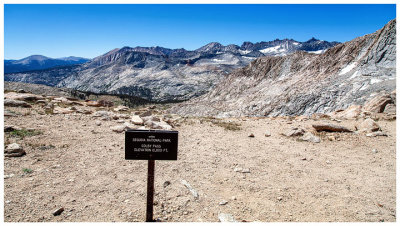
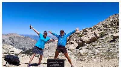
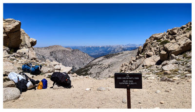
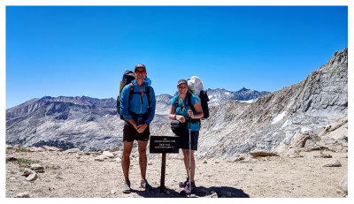
 Colby Pass |
 Colby Pass |
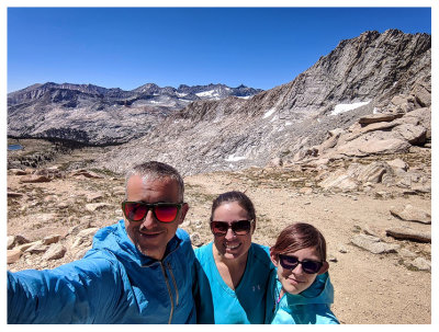 Colby Pass |
 Colby Pass |
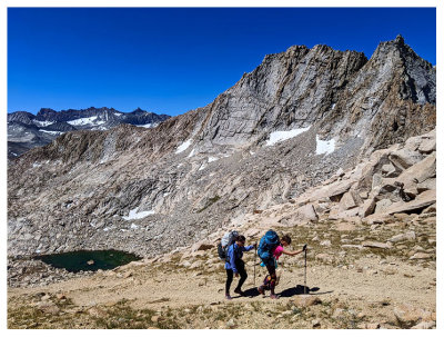
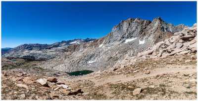
 Colby Pass view into Kings Canyon National Park |
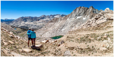
 Colby Pass |
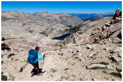 Starting our descent from Colby Pass |
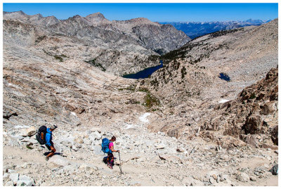 Starting our descent from Colby Pass |
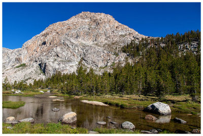
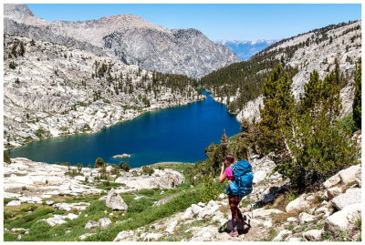 Colby Lake |
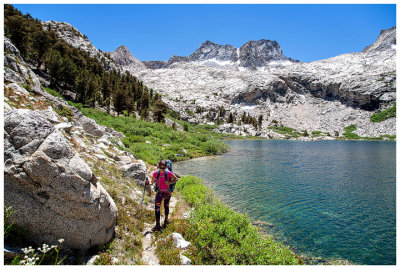 Colby Lake |
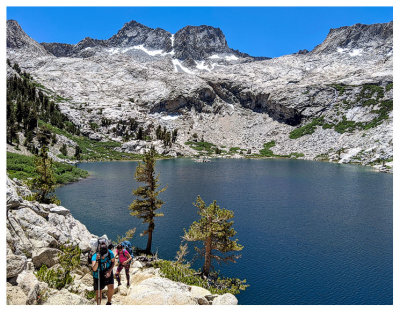 Colby Lake |
 |
 |
 |
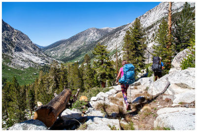
 Whaleback from Big Wet Meadow |
 Whaleback from Big Wet Meadow |
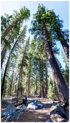 Roaring River campsite |
| comment | share |