


|
|
|
|
|
|
| Steve, Katherine, and Norah | profile | all galleries >> Capitol Reef and Escalante October 2022 >> Day 6: Coyote Gulch, Sunset & Moonrise Arches | tree view | thumbnails | slideshow |
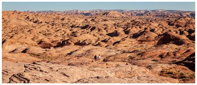 Slickrock forever |
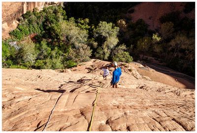 Descending into Coyote Gulch |
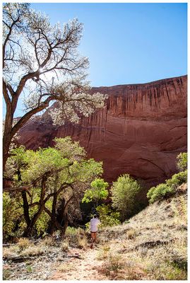
 Descending into Coyote Gulch |
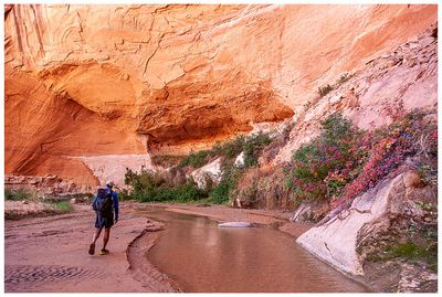
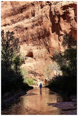
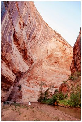 Coyote Gulch |
 Coyote Gulch |
 Coyote Gulch |
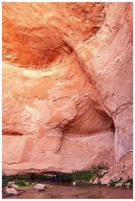 Coyote Gulch |
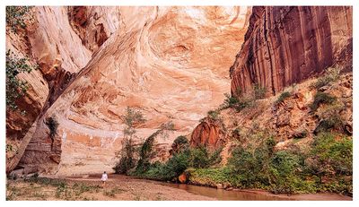
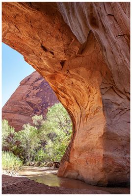
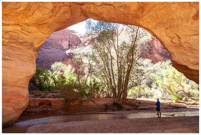
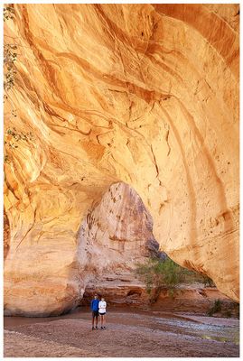
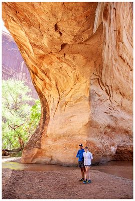
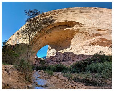 Jacob Hamblin Arch |
 Jacob Hamblin Arch |
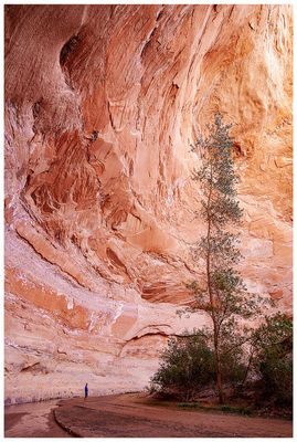
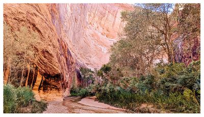
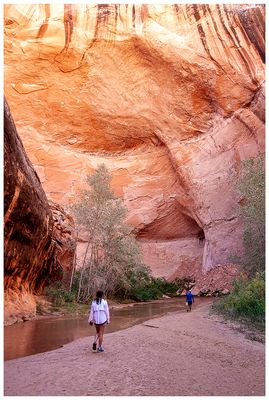 Coyote Gulch |
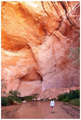 Coyote Gulch |
 Coyote Gulch |
 Coyote Gulch |
 Coyote Gulch |
 Coyote Gulch |
 Coyote Gulch |
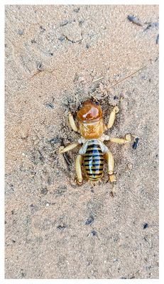 Jerusalem Cricket (potato bug) |
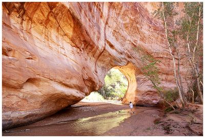 Coyote Natural Bridge |
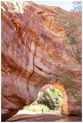 Coyote Natural Bridge |
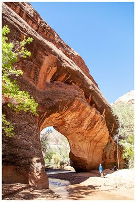 Coyote Natural Bridge |
 Coyote Natural Bridge |
 Coyote Natural Bridge |
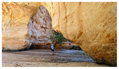 Coyote Natural Bridge |
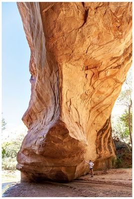 Coyote Natural Bridge |
 Coyote Natural Bridge |
 Coyote Natural Bridge |
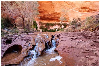 Swiss Cheese Falls |
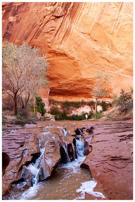 Swiss Cheese Falls |
 Coyote Gulch |
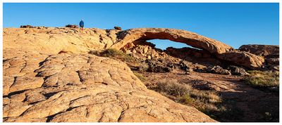
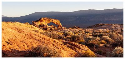
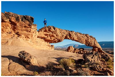 Sunset Arch |
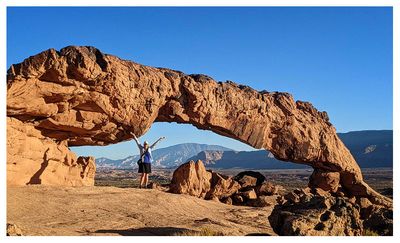 Sunset Arch |
 Sunset Arch |
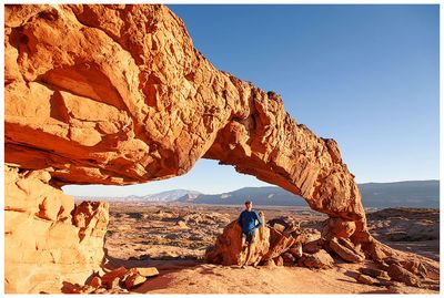
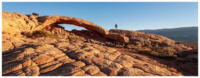
 Moonrise Arch |
 Moonrise Arch |
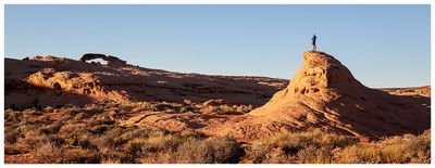 View of Sunset Arch |
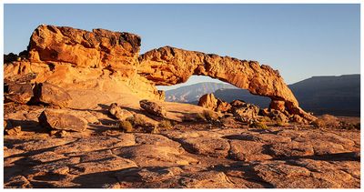 Sunset Arch |
 Sunset Arch |
| comment | share |