


|
|
|
|
|
|
| Steve, Katherine, and Norah | profile | all galleries >> Capitol Reef and Escalante October 2022 >> Day 3: Cohab Canyon, Frying Pan, Cassidy Arch, Grand Wash, Headquarters Canyon | tree view | thumbnails | slideshow |
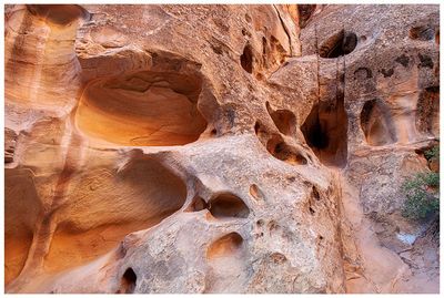
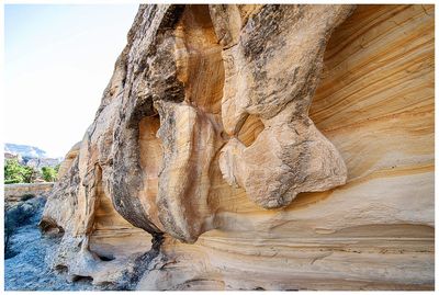
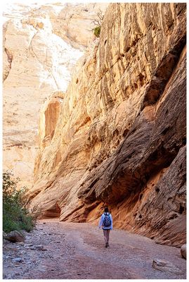
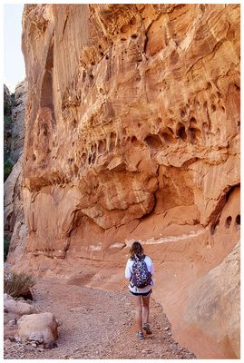
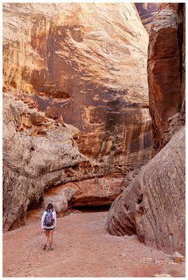
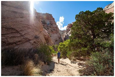
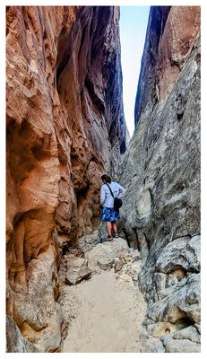
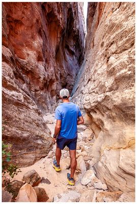
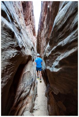
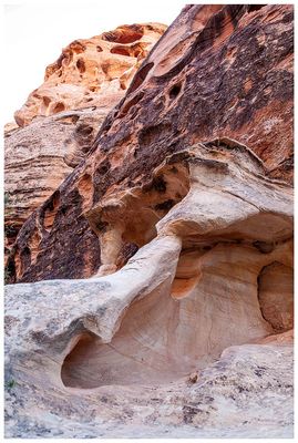 Cohab Canyon |
 Cohab Canyon |
 Cohab Canyon |
 Cohab Canyon |
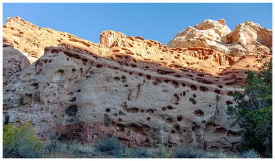
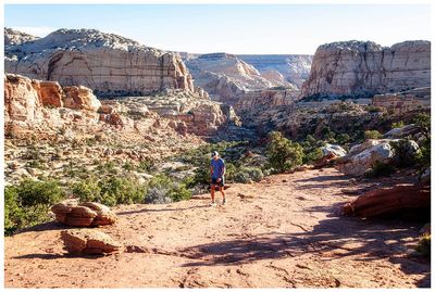
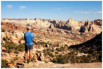
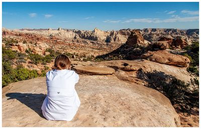
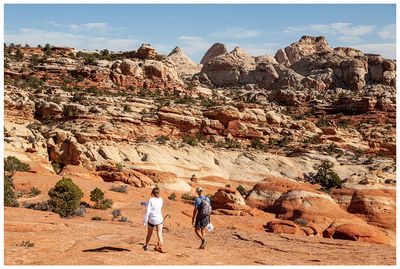
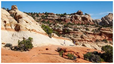
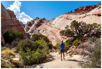
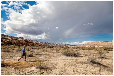
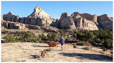 Frying Pan Trail |
 Frying Pan Trail |
 Frying Pan Trail |
 Frying Pan Trail |
 Frying Pan Trail |
 Frying Pan Trail |
 Frying Pan Trail |
 Frying Pan Trail |
 Frying Pan Trail |
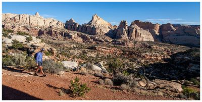
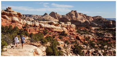
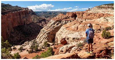
 Slickrock approach to Cassidy Arch |
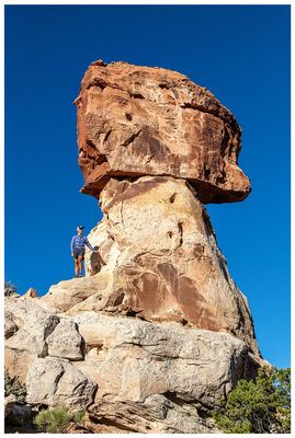
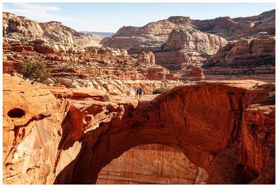
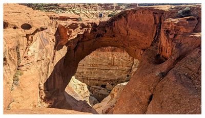
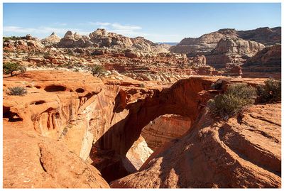 Cassidy Arch |
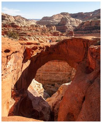 Cassidy Arch |
 Cassidy Arch |
 Cassidy Arch |
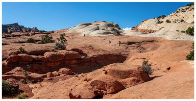
 Cassidy Arch slickrock |
 Cassidy Arch slickrock |
 Cassidy Arch from afar |
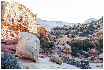
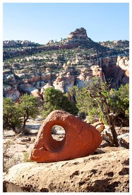
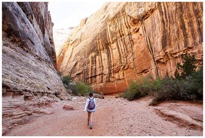 Grand Wash |
 Grand Wash |
 Grand Wash |
 Grand Wash |
 Grand Wash |
 Grand Wash |
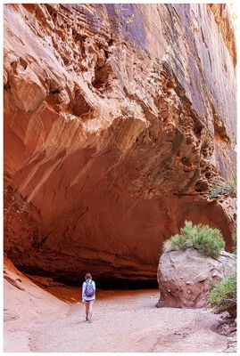
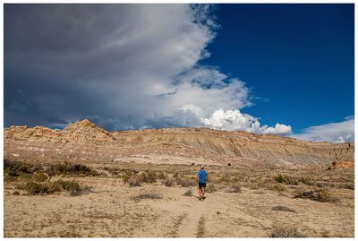
 Approaching Headquarters Canyon |
 Approaching Headquarters Canyon |
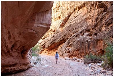
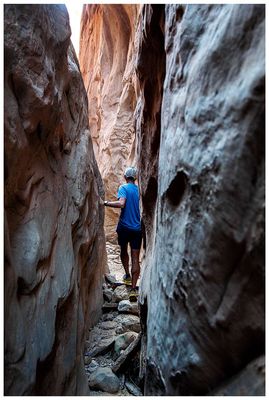
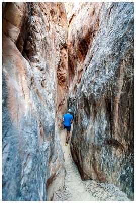 Headquarters Canyon |
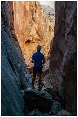
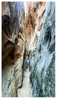 Headquarters Canyon |
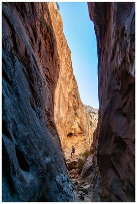
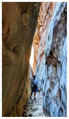 Headquarters Canyon |
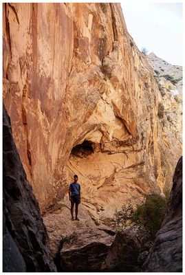
 Headquarters Canyon |
 Headquarters Canyon |
 Headquarters Canyon |
 Headquarters Canyon |
 Headquarters Canyon |
 Headquarters Canyon |
 Headquarters Canyon |
 Headquarters Canyon trail |
 Headquarters Canyon trail |
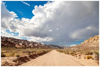 Notom-Bullfrog Road |
| comment | share |