


|
|
|
|
|
|
| John Scurlock | profile | all galleries >> Galleries >> In Box | tree view | thumbnails | slideshow | map |
Last Update November 6, 2017

This gallery contains recently uploaded images, with older images seen first
and newer images last. Note that images appearing here also appear elsewhere in their
respective local galleries.
To see a list of all galleries & sub-galleries, click
Here.
THE IMAGES PRESENTED HERE HAVE BEEN DOWN-SIZED FROM THE ORIGINAL DIGITAL FILES.
Full-resolution color prints are available by request.
____________________________________________________________________________________________________
All Images Copyright 2002/2020, John Scurlock, Photographer & Pilot.
| previous page | pages 1 2 3 4 5 6 7 8 9 10 11 12 13 14 15 16 17 18 19 20 21 22 23 24 25 26 27 ALL | next page |
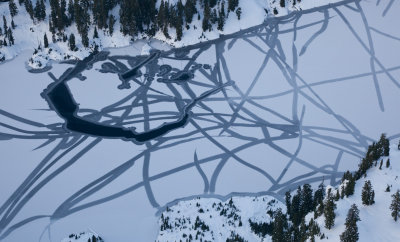
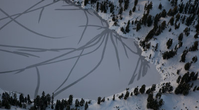 Watson Lake: Ice Fracture Pattern (WatsonLk_112612_010-1.jpg)* |
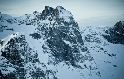
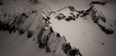
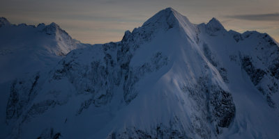 The North Face Of Whatcom Peak (WhatcomPk_112612_001-4.jpg) |
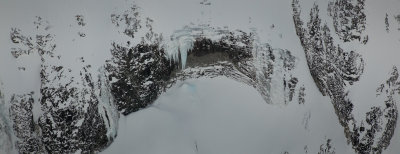 Icicles, Mt Redoubt's N Slopes (Redoubt_112612_037-2.jpg) |
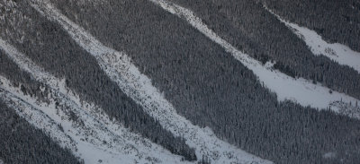 Snow & Trees, Perry Creek (PerryCr_112612_005-3.jpg) |
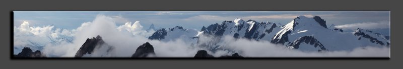
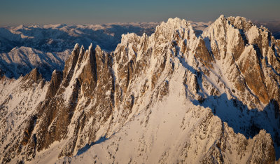
 Southeast Mox Peak & Lemolo Mox From The Southeast (MoxPks_112612_028-2.jpg) |
 Watson Lake (WatsonLk_112612_004-1.jpg) |
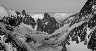 Devil's Tongue, Devil's Toothpick, & Silver Lake From The South (Spickard_112612_007-1.jpg) |
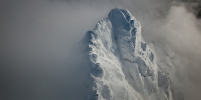 White Chuck Mountain, Summit Detail (Whitechuck_120512_016-1.jpg) |
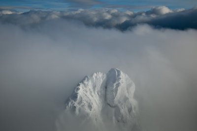 White Chuck Mountain, Looking To The Southeast (Whitechuck_120512_037-2.jpg)* |
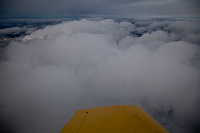 Fueling Flight With Storm Approaching (MFlt_120812-70-1.jpg) |
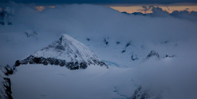
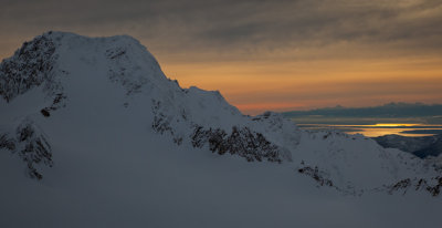
 Eldorado Peak From The West (Eldorado_121312_010-3.jpg) |
 Hidden Lake Lookout (HiddenLake_121312_008-4.jpg) |
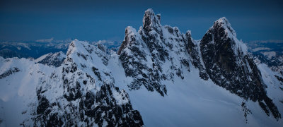
 Tillie's Towers From The Northwest (KlawattiTill_121312_007-1.jpg) |
 Klawatti Peak From The West (KlawattiTill_121312_014-2.jpg) |
 Sahale (L) & Boston Peaks From The Southeast (SahaleBoston_121312_007-2.jpg) |
 Silver Star & Wine Spires From The Southwest (SilverStar120109-15.jpg) |
 Buckner102910-04-1.jpg |
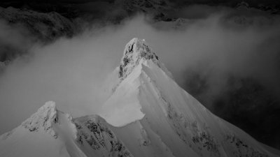
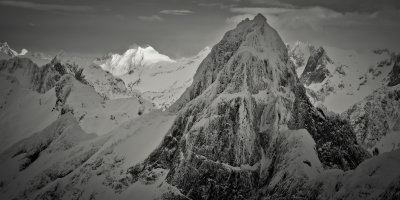 Mt. Triumph From The South (Triumph_122112_023.jpg) |
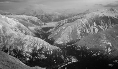 Skagit River Gorge Looking Northeast (SkagitGorge_122112_003-1.jpg) |
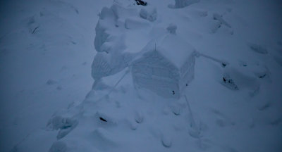
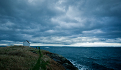 Fog Signal Hut: East Point Saturna Island, British Columbia (212_0286-1.jpg) |
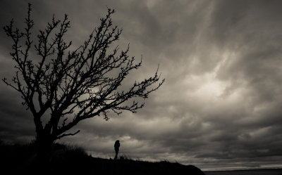 Afternoon At East Point: Saturna Island, British Columbia (Saturna_122212_0332-1.jpg) |
 South Twin Sister From The East (Sisters_010113_080-1.jpg)* |
 Chimney Rock & North Chimney Rock From The Southeast (OvercoatChimney_010113_112-2.jpg) |
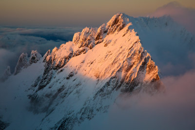
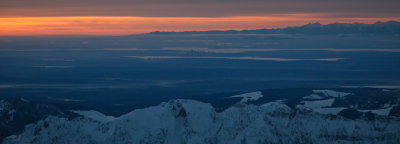 Sunset At Mt. Index (Index_010113_005-3.jpg)* |
| previous page | pages 1 2 3 4 5 6 7 8 9 10 11 12 13 14 15 16 17 18 19 20 21 22 23 24 25 26 27 ALL | next page |