


|
|
|
|
|
|
| nightwings | profile | all galleries >> PLACES WE'VE BEEN >> OUR LOUISIANA FAVORITES >> SABINE PARISH LOUISIANA | tree view | thumbnails | slideshow |
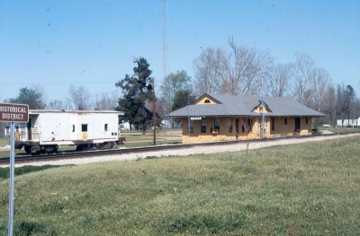 Sabine Parish - Fisher - former KCS station |
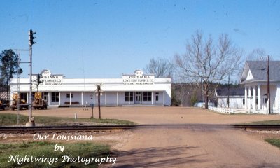 Sabine Parish - Fisher - Louisiana Longleaf Lumber |
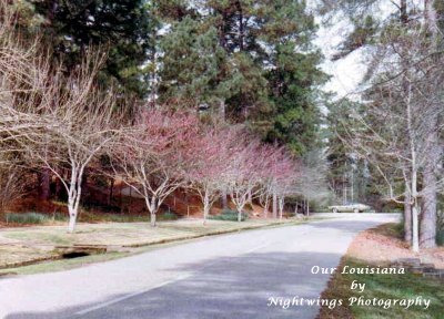 Sabine Parish - Florien - Hodges Gardens |
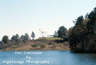 Sabine Parish - Florien - Hodges Gardens |
| comment | share |