


|
|
|
|
|
|
| nightwings | profile | all galleries >> PLACES WE'VE BEEN >> OUR LOUISIANA FAVORITES >> BOSSIER PARISH LOUISIANA | tree view | thumbnails | slideshow | map |
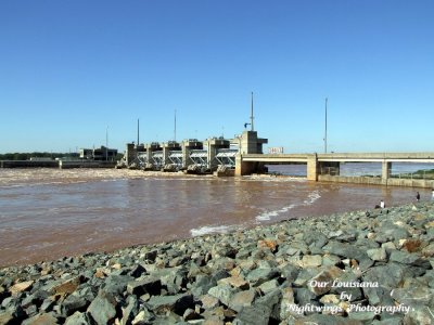 Bossier Parish Joe Waggoner Lock and Dam # 5 |
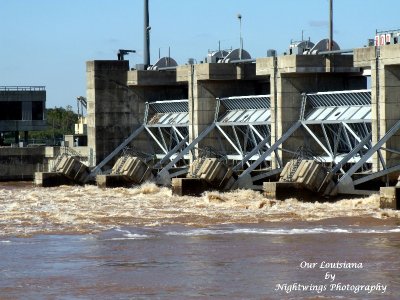 Bossier Parish Joe Waggoner Lock |
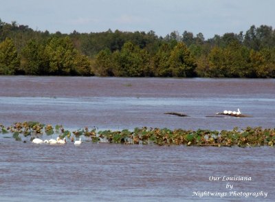
 Bossier Parish Fishing the Red River |
 Bossier Parish Red River Joe Waggoner Locks |
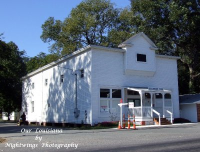 Bossier Parish Taylottown Store |
 Bossier Parish Bossier City |
 Bossier Parish Bossier City |
| comment | share |