


|
|
|
|
|
|
| Ruth Moorhead | profile | all galleries >> Idaho -- Southern and Eastern >> Cassia County >> Independence Lakes | tree view | thumbnails | slideshow |
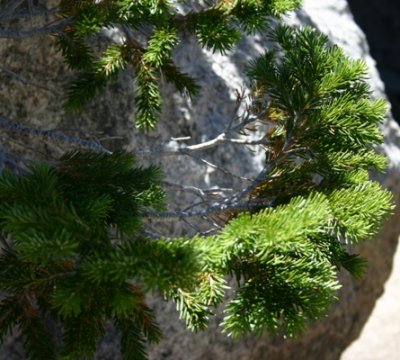 Fir Encircles Boulder |
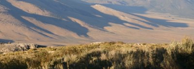 |
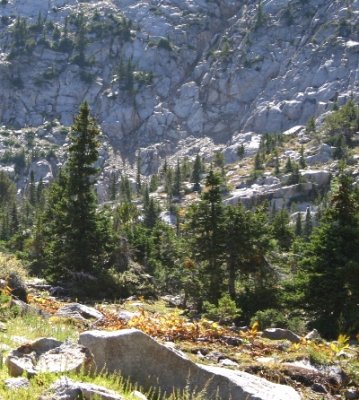
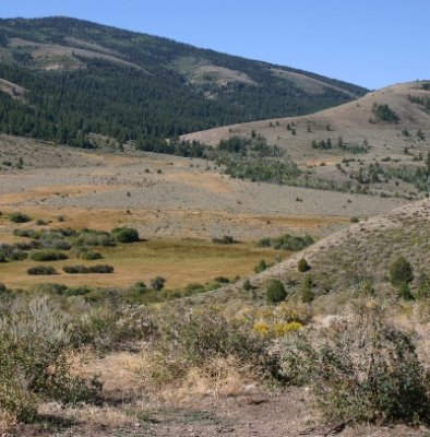
 Down in the Valley |
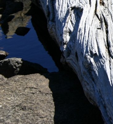 Rock, Water, Wood |
 Rock Collection |
 Sunlit Shoreline Ripples |
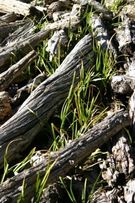 Logjam in one of the Independence Lakes |
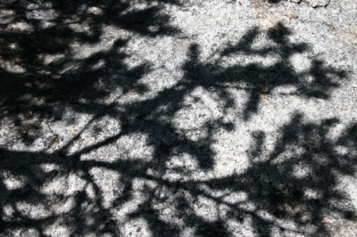 Spruce Shadow |
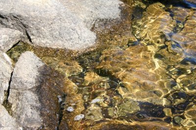
 Liquid Gold |
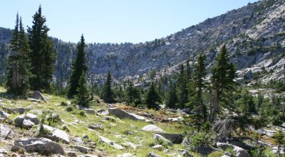
 Boulder-field between Lakes |
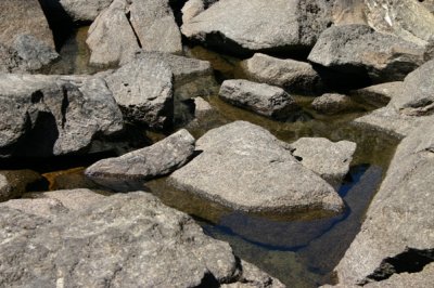 Wet Rocks |
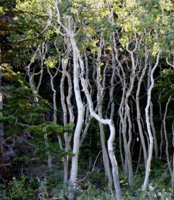 Snow-bent Aspens |
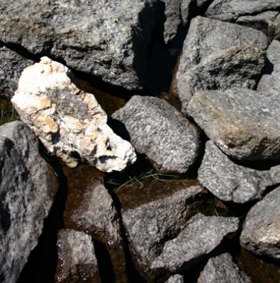
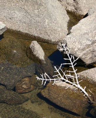 An Independence Lake Talisman |
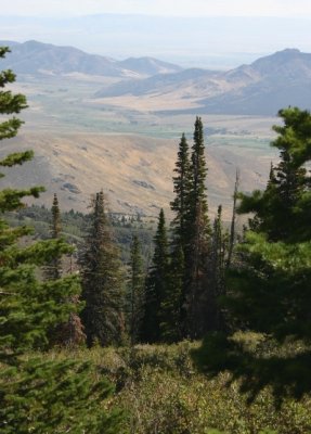
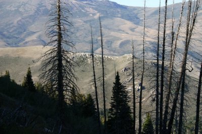 Burned Trees Screen Mt. Harrison |
 |
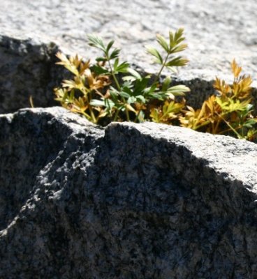 Carrot in a Crevice |
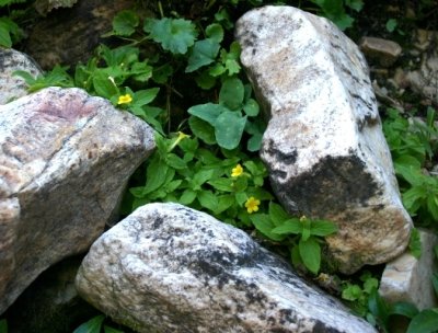 Mimulus in the Rocks |
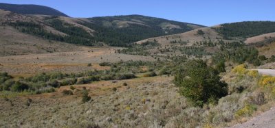
 Leaving Mt. Independence |
 |
| comment |