|
|
|
|
|
|
| tj Hoffman | profile | all galleries >> travel_adventures >> belize_archaeology >> The Beauty of Belize, Mexico & Guatemala >> rio_hondo_wetlands | tree view | thumbnails | slideshow | map |
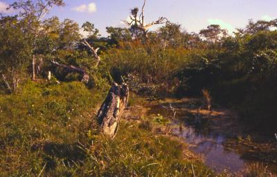
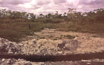
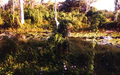
It's only natural that these wetlands in the shadows of the Rio Hondo, (a dividing line between Belize & Mexico) would be seasonally saturated. Were there crops that relied on such an aquaculture? Perhaps it was the only way to intensely occupy such an agriculturally sparse area.
click on thumbnails for full image
| |||||||||