photo sharing and upload picture albums photo forums search pictures popular photos photography help login
Dave Beedon | profile | all galleries >> Places >> Utah >> Wendover Area >> Silver Island Mountains >> Cobb Peak tree view | thumbnails | slideshow | map

Cobb Peak

Cobb Peak is the northernmost of the named peaks in the Silver Island Mountains. It called to
me when I was exploring Floating Island during an earlier visit to Utah. The fact that it
was named after famous English racer John Cobb ( http://en.wikipedia.org/wiki/John_R._Cobb )
had something to do with its attraction. The summit is about 3000 feet (914m) above the
Silver Island Byway, the road that encircles the mountain range.

These photos document a route-finding scramble up the lower western slopes, starting from
my campsite along a rough gravel road.I got more than a third of the way to that ridge. An
attempt on the summit will have to wait, but at least I know how to reach the upper slopes.

Photos were taken in October 2006 and appear in chronological order.

Cobb's summit is at the center of this WikiMapia aerial photo:
http://www.wikimapia.org/#y=40959938&x=-113731499&z=12&l=0&m=a&v=2 .

.
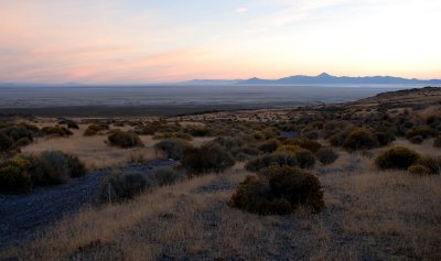
Sunrise over the playa and Newfoundland Mountains
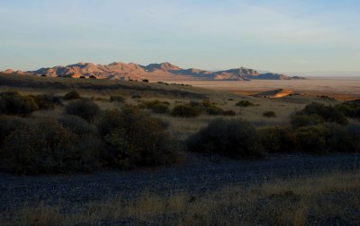
Crater Island
Crater Island
Camping without a fee station, numbered sites, campground host, noisy generators, squealing children, quiet hours
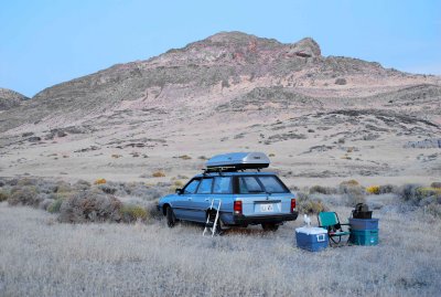
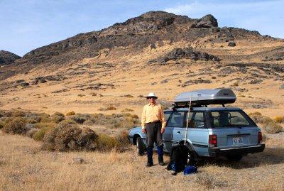
Car and Cobb
Car and Cobb
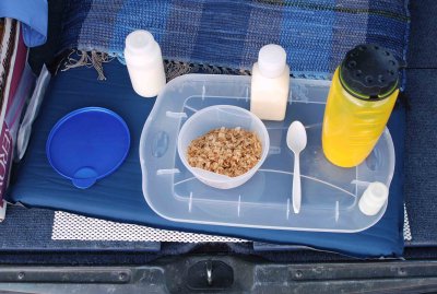
Breakfast is served: Grape Nuts Flakes cereal , orange juice, vitamin tablet
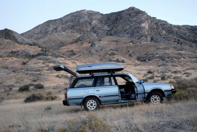
Ready to hike
Ready to hike
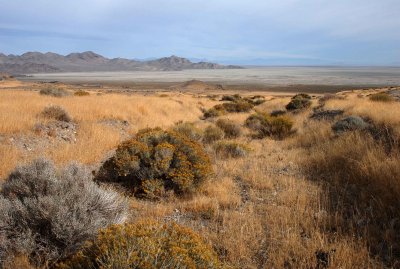
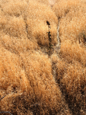
Animals paths in the grass
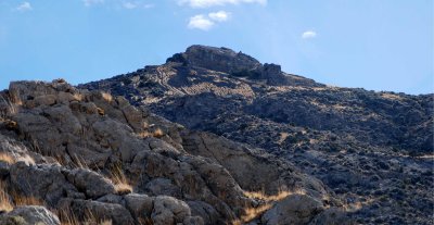
Cobb Peak---I hiked straight ahead and into the shadow
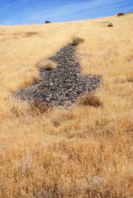
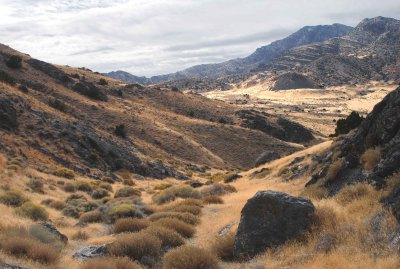
Dry wash (streambed): the Byway runs across the scene just in front of the little hill straight ahead
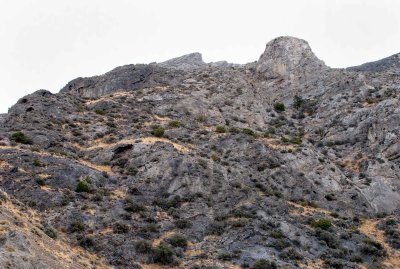
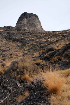
This two-tone tower (Peak 5622) loomed above as I zigzagged up the slope
Conglomerate
Conglomerate
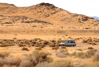
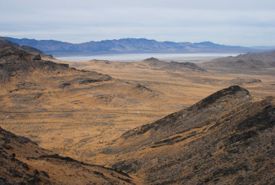
My car (under the white dot) sits amidst a vast landscape
Window in the rock reminds me of Captain Nemo's Nautilus
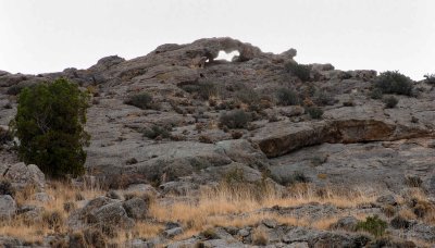
Window in the rock reminds me of Captain Nemo's "Nautilus"
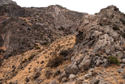
The route up goes across this slope, but is there a drop-off to the right of the tower?
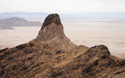
Tall, terrific two-tone tower
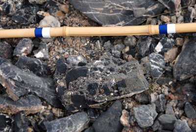
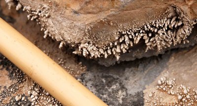
Nodules formed from precipitated minerals?; the bamboo stick is about 0.75 inches (19mm) thick
Toward the left: a possible route to the summit; on the right: a weird rock formation (see next photo)
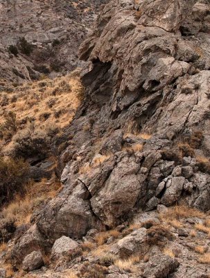
Detail of rock formation: were the holes formed by gas bubbles during an eruption?
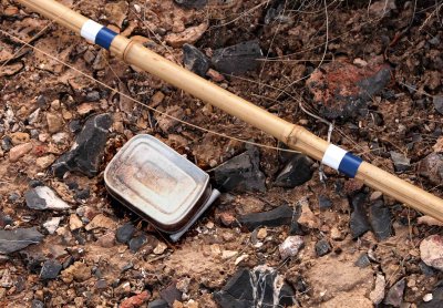
Sardine can was the only evidence of prior human presence
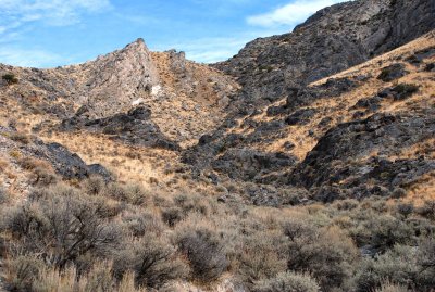
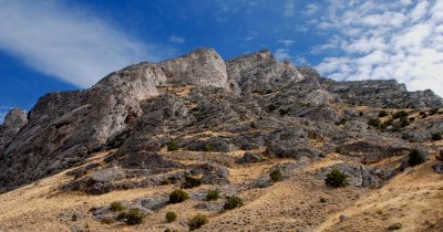
Cobb Peak reconnaissance
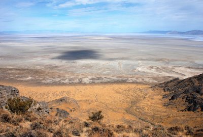
Shadow on the playa (looking north)
Cobb Peak's summit as seen during the descent
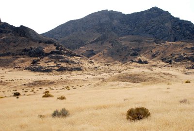
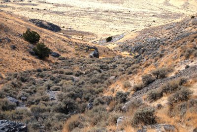
Sort of drab: mostly sagebrush and rabbitbrush in this drainage
Oddity
Oddity
My high point was the right end of the level ridge at center
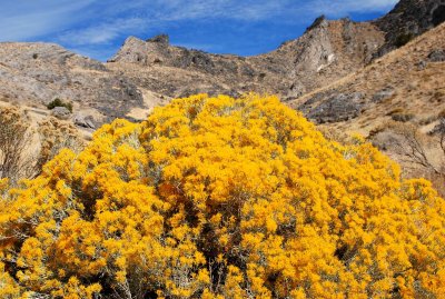
Rabbitbrush (Chrysothamnus nauseosus)
Getting closer to nearly-level ground
Last look at the summit and its weird slopes
Hike finished...
Hike finished...