


|
|
|
|
|
|
| Dave Beedon | profile | all galleries >> Places >> Utah >> Arches National Park >> Salt Wash Precipice Via Jug Rock >> Jug Rock/Salt Wash, Part 2: The Muffin Ridge | tree view | thumbnails | slideshow |
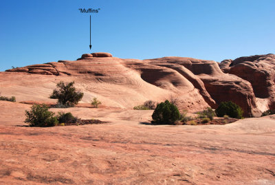 The muffin ridge, a great place from which to view Jug Rock--as if anyone cares |
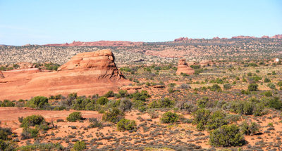
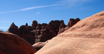
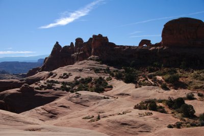
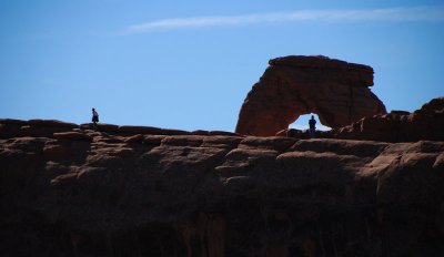 Delicate Arch from the muffin ridge |
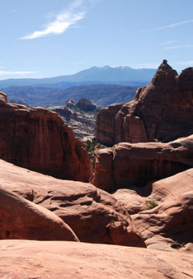
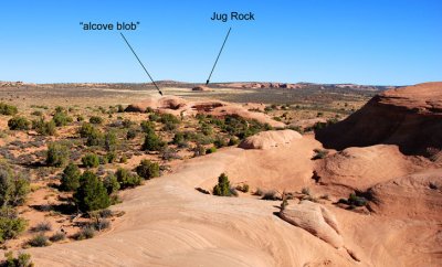 Two formations I will explore on my way to the Salt Wash precipice |
 Closer view of the two formations of the previous photo; Jug Rock is about a mile (1.6km) away |
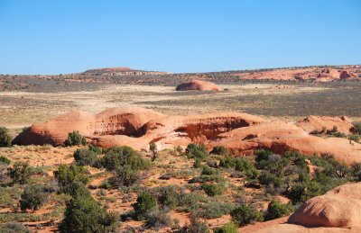
 Just another boring canyon (why did I bother?)... |
 Salt Wash canyon's precipice is hidden, but description text gives a hint |
 Masculine and feminine |
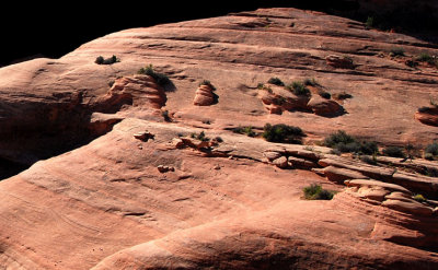 Garden of rocks |
 Untitled |
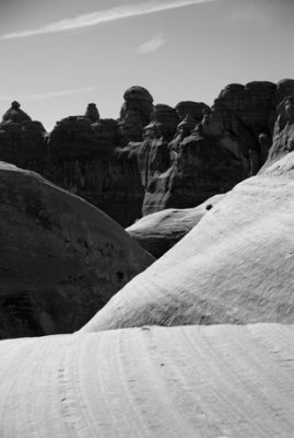
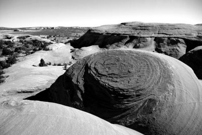
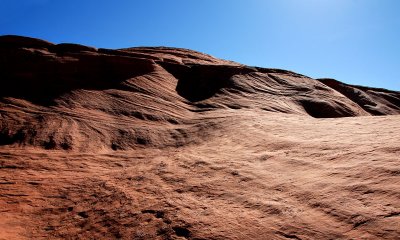
 Soft and hard |
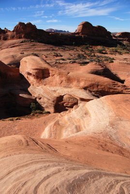 Unnamed arch at center of image (next photo is a close-up) |
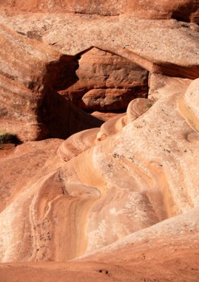 Close-up view of the unnamed arch (previous photo shows its context) |
 Context shot of another photo |
 Topographic temptation: the only way to get rid of it is to yield to it (and I did) |
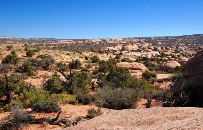 Area of the next phase of the hike ("crypto country") |
| comment | share |