photo sharing and upload picture albums photo forums search pictures popular photos photography help login
Dave Beedon | profile | all galleries >> Trail Maintenance >> Puget Power Trail 2016 tree view | thumbnails | slideshow | map

Puget Power Trail 2016


Photos here show dangerous blackberry vines on a part of the Puget Power Trail in Kent, Washington. The location is the stream bridge on the west side of 64th Avenue South. Pictures illustrate vine growth at the east end of the bridge. Vines intrude at the west end of the bridge but much less severely. The bridge is at the center of this Wikimapia aerial view.

Photos were taken in July and August of 2016.

Vine-pruning by me is evident in the second and third photos; that effort is described in their captions. I used small pruning shears and long-handled loppers. More aggressive pruning, beyond my ability, is required to keep the vines at bay.

Click on "original" to see the most details in photos (that is a one-time toggle for all photos). Ignore the phrase "view map" if it appears below a photo. PBase's geotagging function is broken (stated in August 2016).

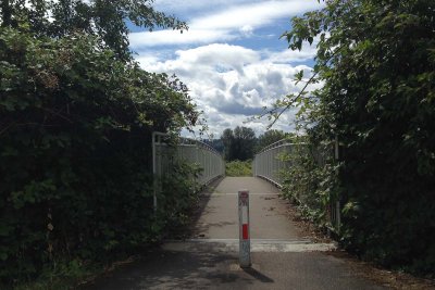
Before light pruning on July 10, 2016... 20160710_5405
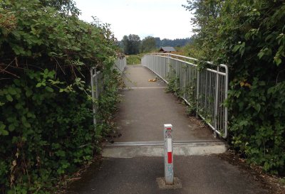
After light pruning on July 10, 2016... 20160713_5442
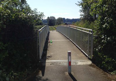
Pruning done... 20160713_5450
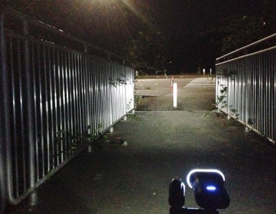
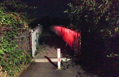
Vines at night... 20160815_5925
Reverse view at night... 20160815_5922