


|
|
|
|
|
|
| Dave Beedon | profile | all galleries >> Trail Maintenance >> Puget Power Trail in 2013 | tree view | thumbnails | slideshow | map |
|
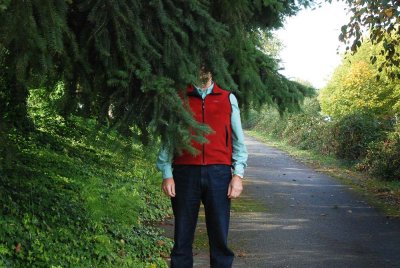 Low branches and growth on asphalt |
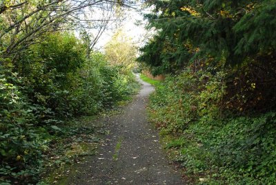
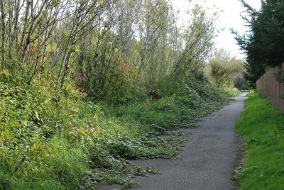
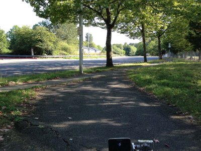
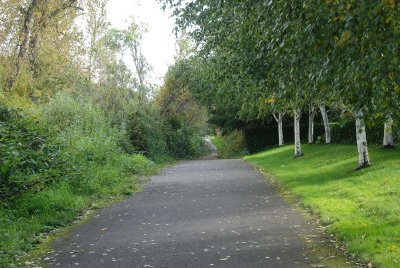 View southward toward problem area |
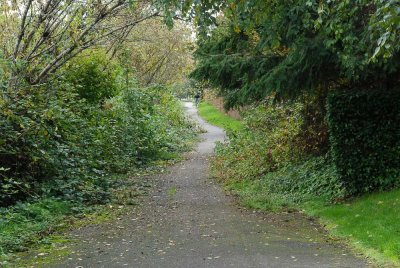 Looking south at north end of major problem area |
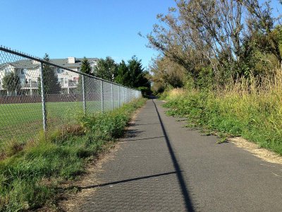
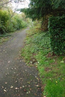 Looking south at west side overgrowth |
 Looking south from the midst of the overgrowth |
 Moss on west side of trail scraped away |
 Hanging blackberry vines |
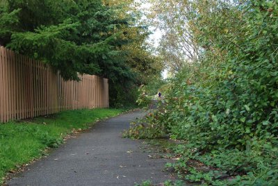 Bush encraoching half-way across the trail |
 Looking south at berry vines |
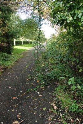
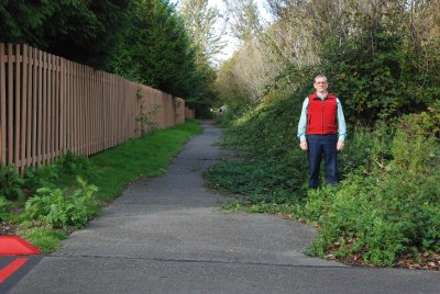 Standing at the eastern edge of asphalt |
 Blackberry vines |
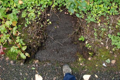
 Asphalt upheaval (bottom left) |
| comment | share |