photo sharing and upload picture albums photo forums search pictures popular photos photography help login
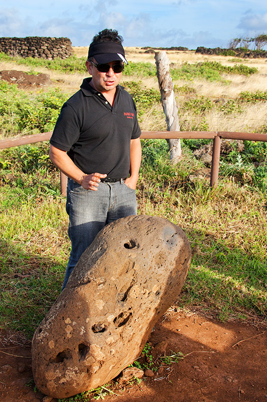
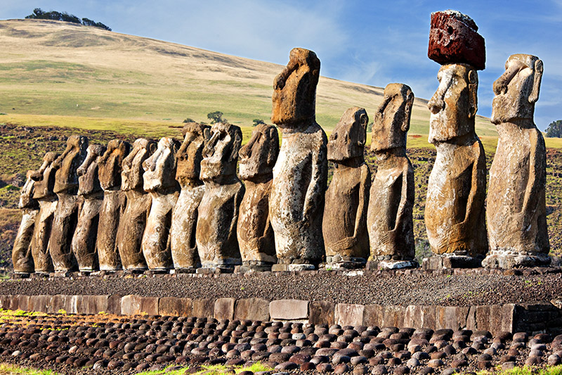
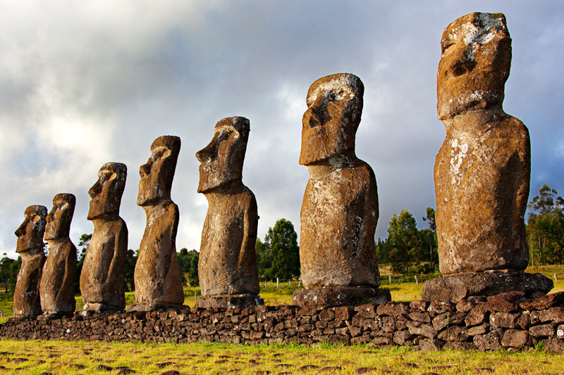
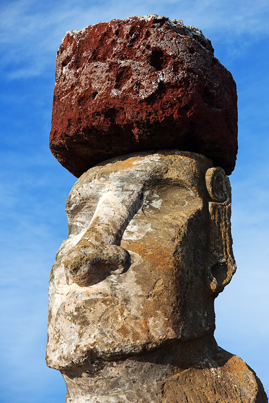
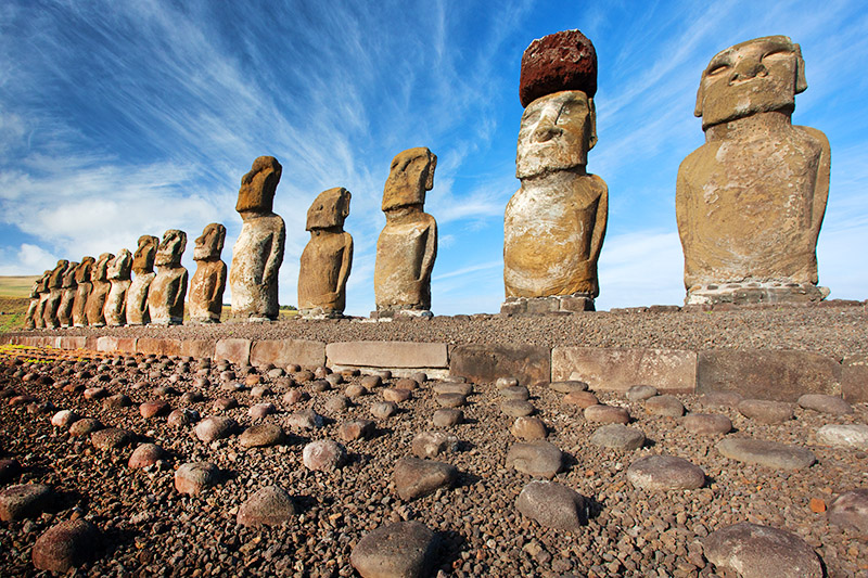
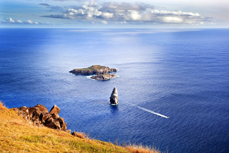
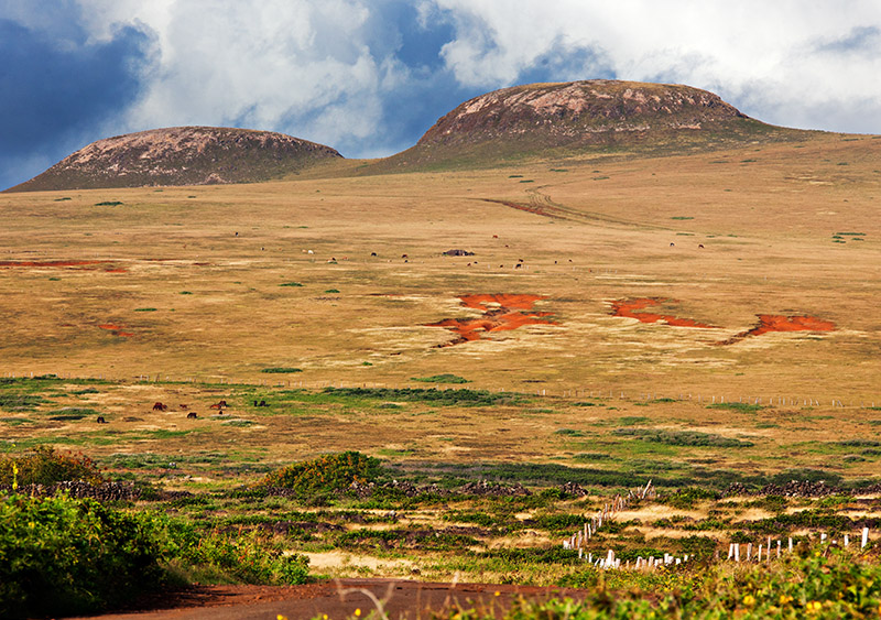
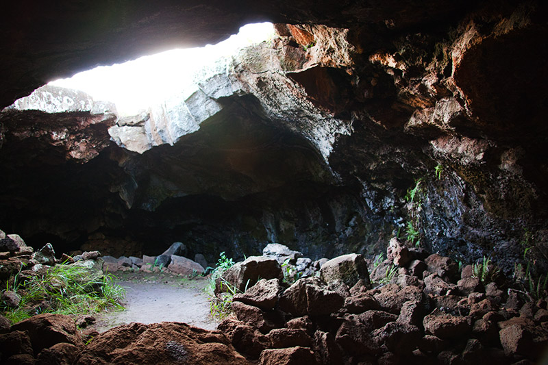
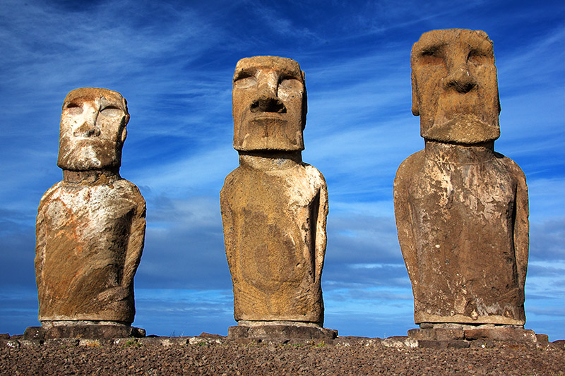
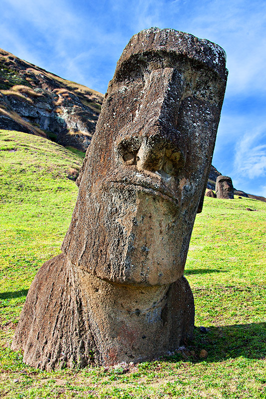
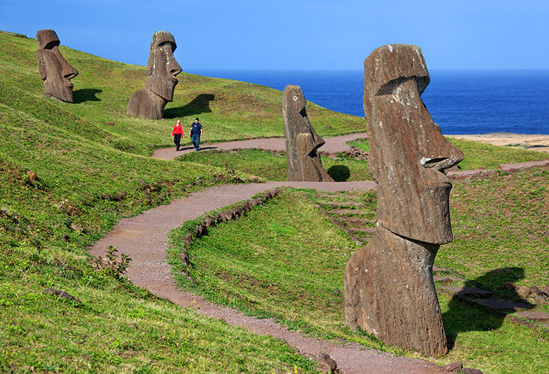
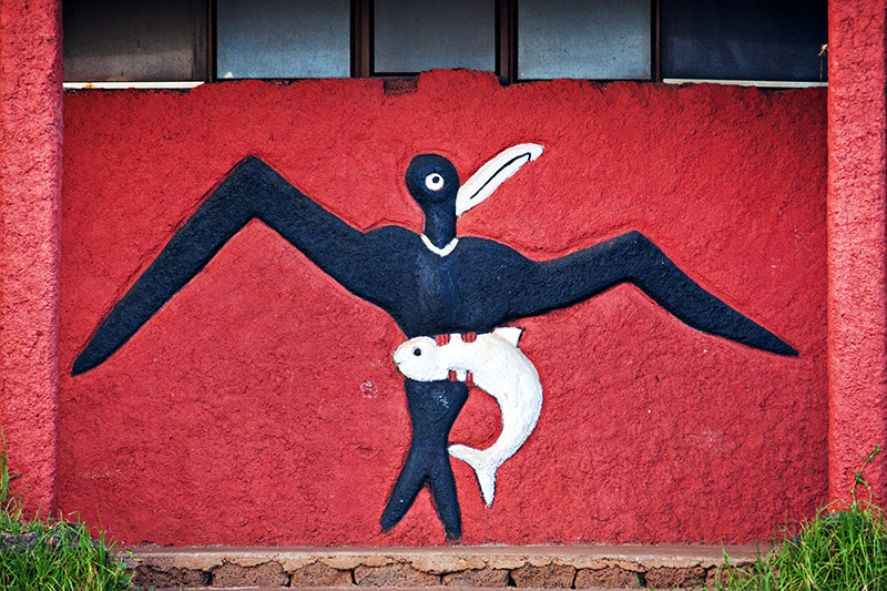
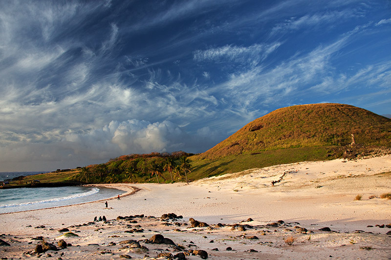
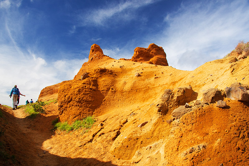
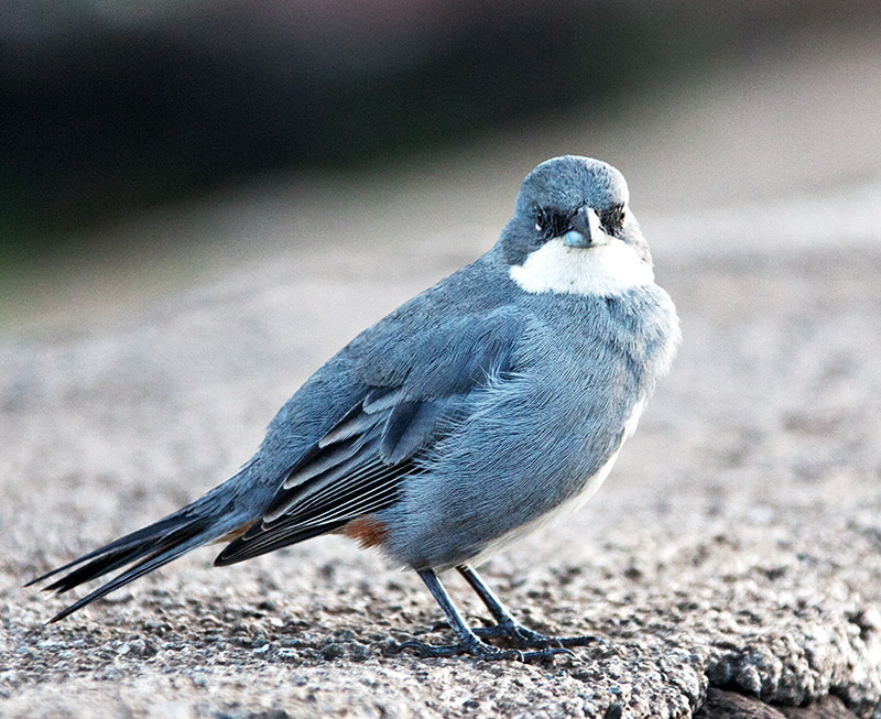
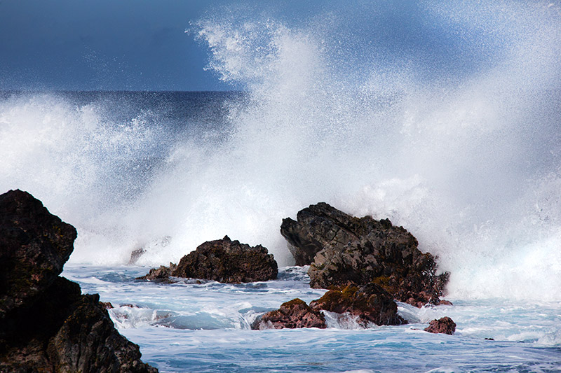
Photo.Keely | profile | all galleries >> Travel >> Easter Island tree view | thumbnails | slideshow

Easter Island

EASTER ISLAND (Spanish: Isla de Pascua) ... also called Rapa Nui ("Great Rapa") or Te Pito o te Henua ("Navel of the World") by the islanders ... is a small volcanic island that encompasses about 67 square miles of land mass, and at its highest point rises to about 1,700 feet above sea-level.

FAME: Easter Island is famous for its 887 extant monumental statues, called moai, created by the early Rapa Nui people.
It is a UNESCO World Heritage Site with much of the island protected within Rapa Nui National Park.
Also, in recent times the island has served as a warning of the cultural and environmental dangers of environmental overexploitation.

LOCATION: Easter Island is a Polynesian island in the south-east Pacific Ocean, at the south-easternmost point of the Polynesian triangle. The Polynesian triangle is comprised of New-Zealand, Hawaii and Easter Island. It lies 2,200 miles west of Chile and 1,200 miles east of Pitcairn Island, its closest neighbour. Easter Island is claimed to be the most remote inhabited island in the world.

GEOGRAPHY: The main community is located at Hanga Roa ('Great Bay'). Thanks to the U.S. space program, NASA extended an existing runway into a full-length airstrip capable of handling an emergency landing of the space shuttle. Today, LAN Chile, the official carrier of Chile, provides regularly scheduled commercial air service to Rapa Nui.

'DISCOVERY': The first European to land on the island, Dutch admiral Jakob Roggeveen, arrived on Easter Sunday, 1722.
In 1770, an expedition dispatched by the Spanish viceroy of Peru 'rediscovered' the island. British navigator Captain James Cook also visited in 1774.
Ethnographers and archaeologists blame diseases carried by European colonizers and slave raiding of the 1860s for devastating the local Rapa Nui people.

HISTORY: In "Easter Island: the Mystery Solved" (Random House, 1989), Heyerdahl offers a detailed theory of the island's history. Based on native testimony and archaeological research, he claimed the island was originally colonized by Hanau eepe ("Long Ears"), from South America, and that Polynesians Hanua momoko ("Short Ears") arrived only in the mid-16th century; they may have come independently or perhaps were imported as workers. According to Heyerdahl, something happened between Admiral Roggeveen's discovery of the island in 1722 and James Cook's visit in 1774; while Roggeveen encountered white, Indian, and Polynesian people living in relative harmony and prosperity, Cook encountered a much smaller population consisting mainly of Polynesians and living in privation.
Heyerdahl speculates there was an uprising of "Short Ears" against the ruling "Long Ears." The "Long Ears" dug a defensive moat on the eastern end of the island and filled it with kindling. During the uprising, Heyerdahl claimed, the "Long Ears" ignited their moat and retreated behind it, but the "Short Ears" found a way around it, came up from behind, and pushed all but two of the "Long Ears" into the fire.

GOVERNMENT: Easter Island is a special territory of Chile that was annexed in 1888. In 1965, the Chilean government appointed a civilian governor and gave the islanders full Chilean citizenship. It is now a province of Chile's Valparaiso region.

POPULATION: 2,095 LANGUAGES: Spanish and Rapa.

References:
http://en.wikipedia.org/wiki/Thor_Heyerdahl
http://en.wikipedia.org/wiki/Easter_Island
http://www.polynesia.com/rapa-nui/island-map.html
http://www.easterislandquest.com/map.htm ... for a useful map of the main historical sites on the island
.
o2/33/836333/1/137349218.foXXynmG._MG_3504_ww.jpg Navel Stone Ahu Nau Nau Ahu Ko Te Riku Terevaka Volcano
Rano Raraku Moai Alvaro Atan Paoa (Alvaro Senior) Rano Raraku Moai Alvaro Atan Junior - Sounding Stone Ahu Tongariki
o6/33/836333/1/136644584.aepdIj1N._MG_3653_ww.jpg Ahu Akivi - The Seven Adventurers Ahu Tongariki Banana Cave Motu Nui, Motu Iti and Motu Kao Kao
Rano Raraku Moai 2 Ahu Tahai Rano Raraku Orongo Petroglyphs, Motu Nui, the smaller Motu Iti and the sea stack of Motu Kao Kao Ahu Tongariki ... in context
Ahu Tongariki Rano Raraku Ahu Nau Nau Yellow Ship Basalt Coast
Ahu Tongariki Pukao (Top-Knot) Rano Raraku Quarry Ahu Nau Nau Rano Raraku Moai 3
Ahu Tongariki Rano Kau - Extinct Volcano Rapa Nui Symbol Coral Tree Ahu Ko Te Riku
Ahu Nau Nau Rano Raraku 'Orongo Hanga Roa Bay Ahu Ko Te Riku
Anakena Beach Hanga Roa Habour (Cook Bay) Rano Raraku Volcano Volcanic Crater - Inner Slope Local Brew
Attitude? 'Orongo and Motu Nui Ahu Tongariki Rano Kau - Extinct Volcano Basalt Coastline
Diuca Finch (Diuca diuca) One of Fifteen Ahu Tongariki Wild Horses Carlos - Park Ranger - 'Orongo
East meets West The Seven Adventurers Quad Bike Surprise! Long Ears
Rock Fishing on the Basalt Coastline Rocky Moai Carvings First Moai Ahu Ko Te Riku
Ahu Tongariki Hanga Roa Bay How the mighty have fallen Placid Hound Basalt Coast
Hanga Roa Bay Splash Ahu Ko Te Riku Precision Stonework Canine Conflab
Diving Party Rano Raraku Volcano Chin-wag Carved Figurehead A Whale of a Carving
_MG_3033_ww.jpg Unidentified Figure Sleeping Giants Submerged Main Street
Wild Horses Basalt Blow Hole One of the Seven Adventurers Ahu Tongariki Airport Runway
Intrepid Traveller Sleeping Giants Wood Carving Hanga Roa Bay Out of the mists of time
Fire Tender Hibiscus Wild Horses Rano Raraku Moai Wild Horses
o6/33/836333/1/138479224.3QcD6jSE._MG_3719_ww.jpg Lava Flow o2/33/836333/1/141811258.Ia5ppEAK._MG_3659_ww.jpg Ahu Tahai First Re-Erected Moai