


|
|
|
|
|
|
| Yiannis Pavlis | profile | all galleries >> Galleries >> Faroe_islands_ | tree view | thumbnails | slideshow | map |
| previous page | pages 1 2 ALL | next page |
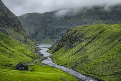
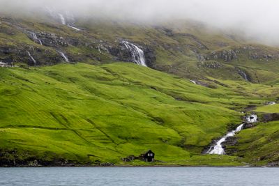
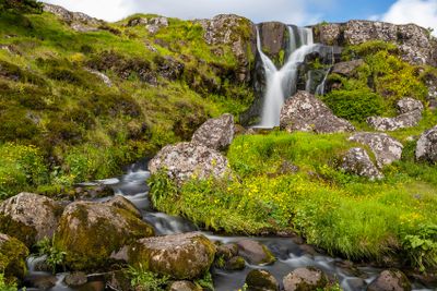 Svartafoss Waterfall |
 Fossá" in the Faroese language means "river with waterfalls" |
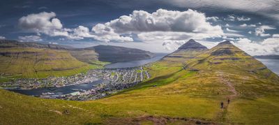 Klakkur Hike |
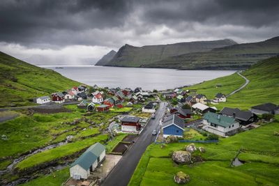
 Břur |
 |
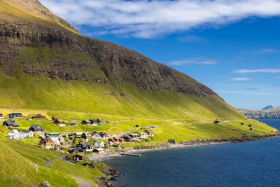
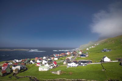 Sumba is the southernmost village of the Faroe Islands, located on the island of Suđuroy. |
 |
 |
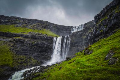
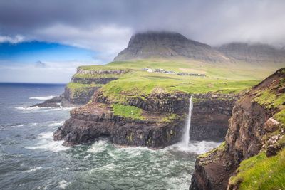 Múlafossur Waterfall |
 |
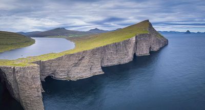 Lake Leitisvatn/Sřrvágsvatn |
 Tjřrnuvík |
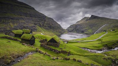 Saksun pano |
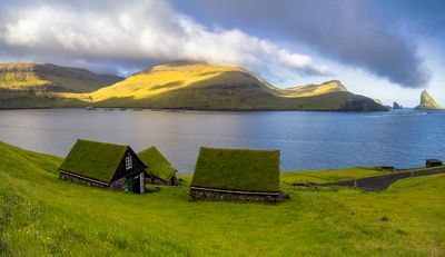
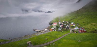
 Funningur |
 Kunoy |
| previous page | pages 1 2 ALL | next page |
| tomr-photos | 17-Apr-2025 03:35 | |
| Denise J T Lee | 16-Apr-2025 14:30 | |
| Dmitry Zamorin | 26-Jul-2024 03:50 | |
| Jerry Curtis | 12-Jul-2024 23:43 | |
| Danad | 08-Jul-2024 13:54 | |
| Paul Riley | 07-Jul-2024 11:58 | |
| janescottcumming | 05-Jul-2024 11:43 | |
| Phil | 03-Jul-2024 02:16 | |
| Dan Opdal | 03-Jul-2024 00:48 | |
| William Barletta | 02-Jul-2024 23:36 | |
| Marcia Rules | 02-Jul-2024 13:47 | |
| Azlin Ahmad | 01-Jul-2024 23:36 | |
| Jeremy | 01-Jul-2024 14:36 | |