


|
|
|
|
|
|
| Paul Dudley | profile | all galleries >> 29 Australian trips >> 2006 Solo Trip (12 galleries) >> Album 8: A bit of the Stuart Highway | tree view | thumbnails | slideshow | map |
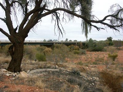 Marryat Creek Bridge |
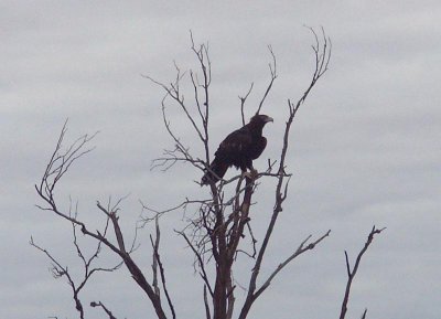 Wedge-tailed eagle |
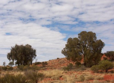 Desert Oaks |
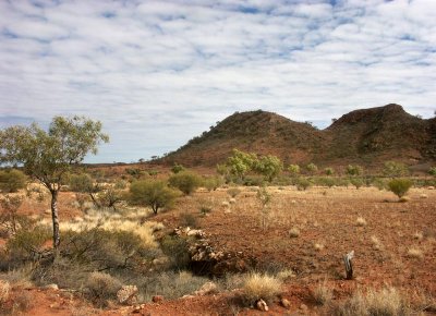
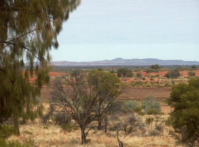 Central Australian Landscape |
 From the Stuart Highway |
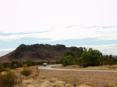 From the Stuart Highway |
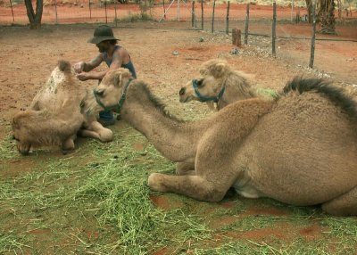 Camels and minder |
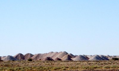 Landscape near Coober Pedy |
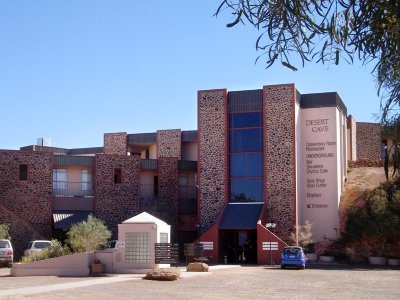 Desert Cave Hotel |
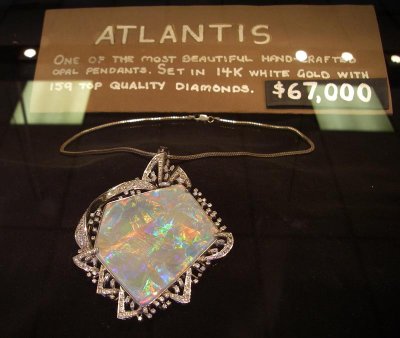 Opal for sale |
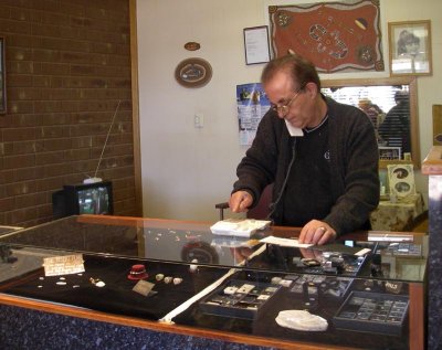 Sale of an opal |
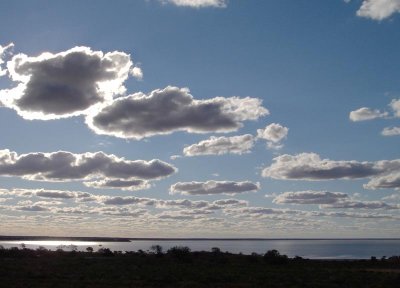
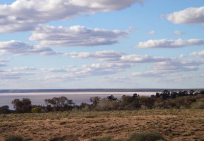 Lake Hart - 1 |
 Lake Hart - 2 |
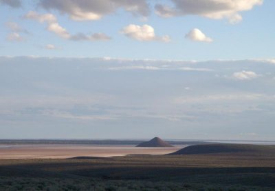 Island Lagoon - 1 |
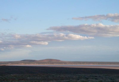 Island Lagoon - 2 |
| comment | share |