photo sharing and upload picture albums photo forums search pictures popular photos photography help login
Type your message and click Add Comment
It is best to login or register first but you may post as a guest.
Enter an optional name and contact email address. Name
Name Email
help private comment
kimberly borchardt | profile | all galleries >> Places&Such >> Places >> Oregon >> Mt. Hood >> Gnarly Ridge tree view | thumbnails | slideshow

Gnarly Ridge

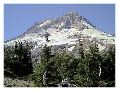
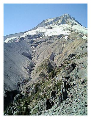
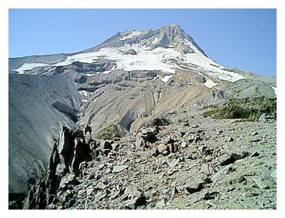
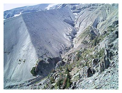
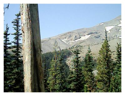
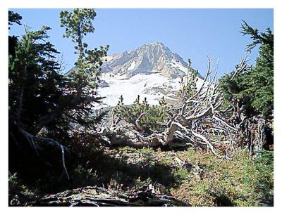
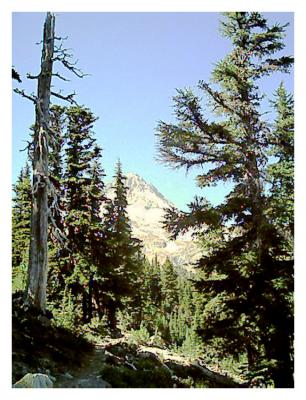
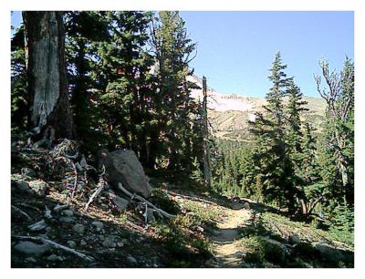
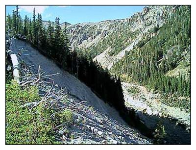
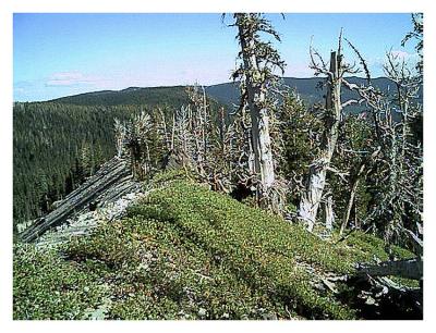
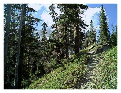
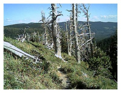
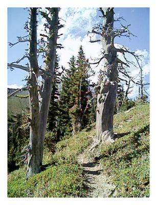
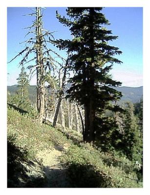
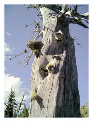
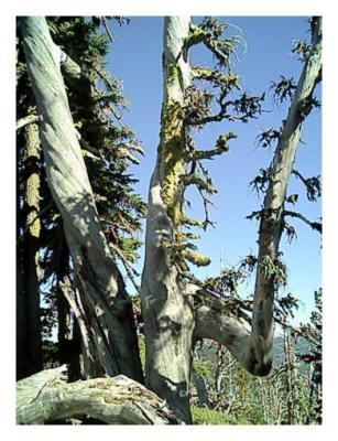
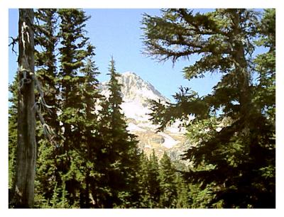
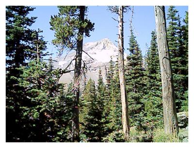
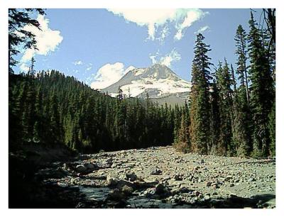
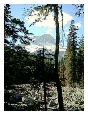
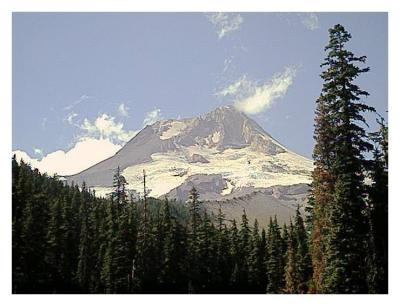
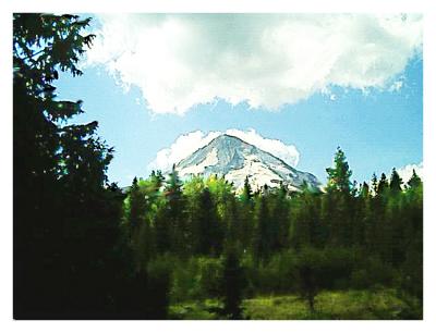
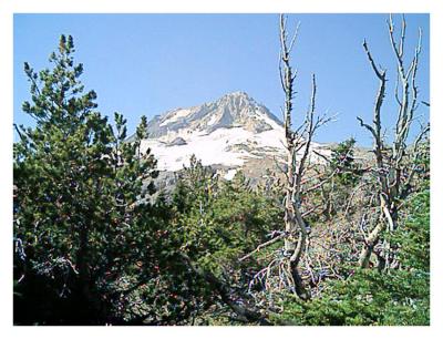
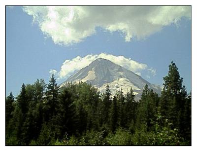
On the southeast slopes of Mt. Hood, northeast of Mt. Hood Meadows Ski Resort, the Gnarly Ridge Trail joins the Timberline trail and continues east towards Cloud Cap and Cooper Spur, following the crest of a steep volcanic ridge. At the top is the Newton Glacier, headwaters of Newton Creek. This is one access point for climbs to the top of Mt. Hood, which seems deceptively close from here.


(For another view of this same general area, taken with a D2X, see FJP's White River gallery )
Newton Glacier Newton Canyon Newton Canyon Newton canyon
ridgeline Hood Meadows Gnarly Ridge top Cloud Cap distant to Gnarly Ridge
Newton River ridge Newton ridge Newton Ridge trail ridge snags
Newton trail up Newton trail down twisted sisters  twisted trunk
Newton twisted Cloud Cap view distant Hood Newton river
Newton river Newton Hood Newton glacier Cooper Spur
Gnarly Ridge top Cooper Spur n_gnarly fireweed.jpg